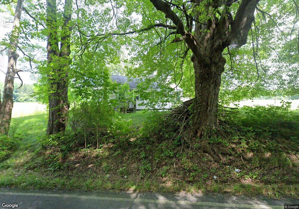
5168 Rootstown Rd Ravenna, OH 44266
Estimated Value: $77,802 - $206,000
2
Beds
1
Bath
616
Sq Ft
$219/Sq Ft
Est. Value
About This Home
This home is located at 5168 Rootstown Rd, Ravenna, OH 44266 and is currently estimated at $135,201, approximately $219 per square foot. 5168 Rootstown Rd is a home located in Portage County with nearby schools including Rootstown Middle School - Schnee Building, Rootstown High School, and St Patrick Elementary School.
Ownership History
Date
Name
Owned For
Owner Type
Purchase Details
Closed on
Jan 6, 2004
Sold by
Chadwick Properties Llc
Bought by
Young Matthew A
Current Estimated Value
Home Financials for this Owner
Home Financials are based on the most recent Mortgage that was taken out on this home.
Original Mortgage
$41,500
Outstanding Balance
$19,462
Interest Rate
5.94%
Mortgage Type
Purchase Money Mortgage
Estimated Equity
$115,739
Purchase Details
Closed on
Sep 24, 2003
Sold by
Wyers Delmar D
Bought by
Chadwick Properties
Purchase Details
Closed on
Feb 3, 1994
Bought by
Wyers Delmar D and Wyers Delores
Create a Home Valuation Report for This Property
The Home Valuation Report is an in-depth analysis detailing your home's value as well as a comparison with similar homes in the area
Home Values in the Area
Average Home Value in this Area
Purchase History
| Date | Buyer | Sale Price | Title Company |
|---|---|---|---|
| Young Matthew A | $52,000 | Portage Lawyers Title | |
| Chadwick Properties | $49,100 | -- | |
| Wyers Delmar D | -- | -- |
Source: Public Records
Mortgage History
| Date | Status | Borrower | Loan Amount |
|---|---|---|---|
| Open | Young Matthew A | $41,500 |
Source: Public Records
Tax History Compared to Growth
Tax History
| Year | Tax Paid | Tax Assessment Tax Assessment Total Assessment is a certain percentage of the fair market value that is determined by local assessors to be the total taxable value of land and additions on the property. | Land | Improvement |
|---|---|---|---|---|
| 2024 | $1,018 | $24,010 | $2,310 | $21,700 |
| 2023 | $942 | $19,740 | $2,030 | $17,710 |
| 2022 | $919 | $19,740 | $2,030 | $17,710 |
| 2021 | $906 | $19,740 | $2,030 | $17,710 |
| 2020 | $811 | $16,950 | $1,930 | $15,020 |
| 2019 | $813 | $16,950 | $1,930 | $15,020 |
| 2018 | $709 | $13,830 | $2,070 | $11,760 |
| 2017 | $709 | $13,830 | $2,070 | $11,760 |
| 2016 | $675 | $13,830 | $2,070 | $11,760 |
| 2015 | $682 | $13,830 | $2,070 | $11,760 |
| 2014 | $695 | $13,830 | $2,070 | $11,760 |
| 2013 | $690 | $13,830 | $2,070 | $11,760 |
Source: Public Records
Map
Nearby Homes
- 5032 Blackberry Ln
- 2694 Sandy Lake Rd
- 2014 Sugar Maple Dr
- 4938 Brower Tree Ln
- 5223 Aspen Meadow Dr
- 4832 Raspberry Cir
- 3123 Clearview Rd
- 2464 Hazelnut Rd
- 5205 Cline Rd Unit A
- 3130 Pondview Dr Unit 18
- 3174 Wolf Run Unit 2
- 3159 Pondview Dr Unit 7
- 2105 Sugar Maple Dr
- 2092 Sugar Maple Dr
- 5123 Troyer Dr
- 5697 Halwick Dr
- 5443 Chadwell Cir
- 2262 Willyard Ave
- 3311 Charleston Place
- 5370 Winding Creek Dr
- 5165 Rootstown Rd
- 5145 Rootstown Rd
- 5201 Rootstown Rd
- V/L Rootstown Rd
- 0 Rootstown Rd Unit 3264034
- 0 Rootstown Rd Unit 3264029
- 0 Rootstown Rd Unit 3264020
- 5204 Rootstown Rd
- 5101 Rootstown Rd
- 5109 Rootstown Rd
- 5098 Rootstown Rd
- 5088 Rootstown Rd
- 5100 Misty Glen
- 5091 Rootstown Rd
- 5230 Rootstown Rd
- 5105 Misty Glen Ln
- 5096 Misty Glen Ln
- 5233 Rootstown Rd
- 5088 Misty Glen Ln
- 5080 Misty Glen Ln