Estimated Value: $246,006 - $298,000
3
Beds
2
Baths
1,015
Sq Ft
$271/Sq Ft
Est. Value
About This Home
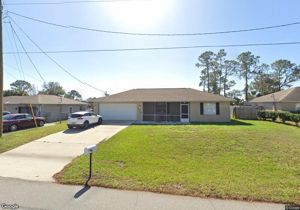
This home is located at 5169 Bridge Rd, Cocoa, FL 32927 and is currently estimated at $275,502, approximately $271 per square foot. 5169 Bridge Rd is a home located in Brevard County with nearby schools including Challenger 7 Elementary School, Space Coast Junior/Senior High School, and East Atlantic Prep of Brevard County.
Ownership History
Date
Name
Owned For
Owner Type
Purchase Details
Closed on
Jan 6, 1995
Sold by
Romar Homes Inc
Bought by
Hennessy Shannon L
Current Estimated Value
Home Financials for this Owner
Home Financials are based on the most recent Mortgage that was taken out on this home.
Original Mortgage
$61,050
Interest Rate
9.26%
Purchase Details
Closed on
Sep 10, 1994
Sold by
R J M Inv Inc
Bought by
Romar Homes Inc
Create a Home Valuation Report for This Property
The Home Valuation Report is an in-depth analysis detailing your home's value as well as a comparison with similar homes in the area
Home Values in the Area
Average Home Value in this Area
Purchase History
| Date | Buyer | Sale Price | Title Company |
|---|---|---|---|
| Hennessy Shannon L | $61,500 | -- | |
| Romar Homes Inc | $8,000 | -- |
Source: Public Records
Mortgage History
| Date | Status | Borrower | Loan Amount |
|---|---|---|---|
| Closed | Hennessy Shannon L | $61,050 |
Source: Public Records
Tax History
| Year | Tax Paid | Tax Assessment Tax Assessment Total Assessment is a certain percentage of the fair market value that is determined by local assessors to be the total taxable value of land and additions on the property. | Land | Improvement |
|---|---|---|---|---|
| 2025 | $2,880 | $210,300 | -- | -- |
| 2024 | $2,809 | $212,120 | -- | -- |
| 2023 | $2,809 | $209,540 | $0 | $0 |
| 2022 | $2,519 | $197,060 | $0 | $0 |
| 2021 | $2,292 | $150,790 | $42,000 | $108,790 |
| 2020 | $2,119 | $135,260 | $40,000 | $95,260 |
| 2019 | $1,995 | $128,890 | $35,000 | $93,890 |
| 2018 | $1,885 | $116,430 | $27,000 | $89,430 |
| 2017 | $1,796 | $104,830 | $24,000 | $80,830 |
| 2016 | $1,683 | $89,940 | $18,000 | $71,940 |
| 2015 | $1,598 | $70,640 | $15,000 | $55,640 |
| 2014 | $1,457 | $64,220 | $11,000 | $53,220 |
Source: Public Records
Map
Nearby Homes
- 6020 Cannon Ave
- 5945 Coker Ave
- 5221 Carrick Rd
- 5946 Deer Ln
- 6094 Cardiff Ave
- 5914 Stillwater Ave
- 5215 Holden Rd
- 5220 Holden Rd
- 4905 Bridge Rd
- 4975 Fay Blvd
- 5265 Fay Blvd
- 6375 Cable Ave
- 6438 Hudson Rd
- 6310 Depot Ave
- 4545 Rosebud St
- 000 Port Saint John Pkwy
- 6450 Ember Ave
- 5720 Flint Rd
- No Access Port Saint John Pkwy
- 00 Unknown
- 5157 Bridge Rd
- 5181 Bridge Rd Unit 4
- 5145 Bridge Rd
- 5193 Bridge Rd
- 5910 Cannon Ave
- 5915 Cannon Ave
- 5186 Bridge Rd
- 5205 Bridge Rd
- 5146 Bridge Rd
- 5198 Bridge Rd
- 5201 Sanbourne St
- 5925 Cannon Ave
- Tbd Bridge Rd
- 5134 Bridge Rd
- 5217 Bridge Rd
- 5121 Bridge Rd
- 5211 Sanbourne St
- 0 Bridge Rd
- 5210 Bridge Rd
- 5920 Ackard Ave
Your Personal Tour Guide
Ask me questions while you tour the home.