Estimated Value: $352,000 - $394,000
4
Beds
4
Baths
2,031
Sq Ft
$180/Sq Ft
Est. Value
About This Home
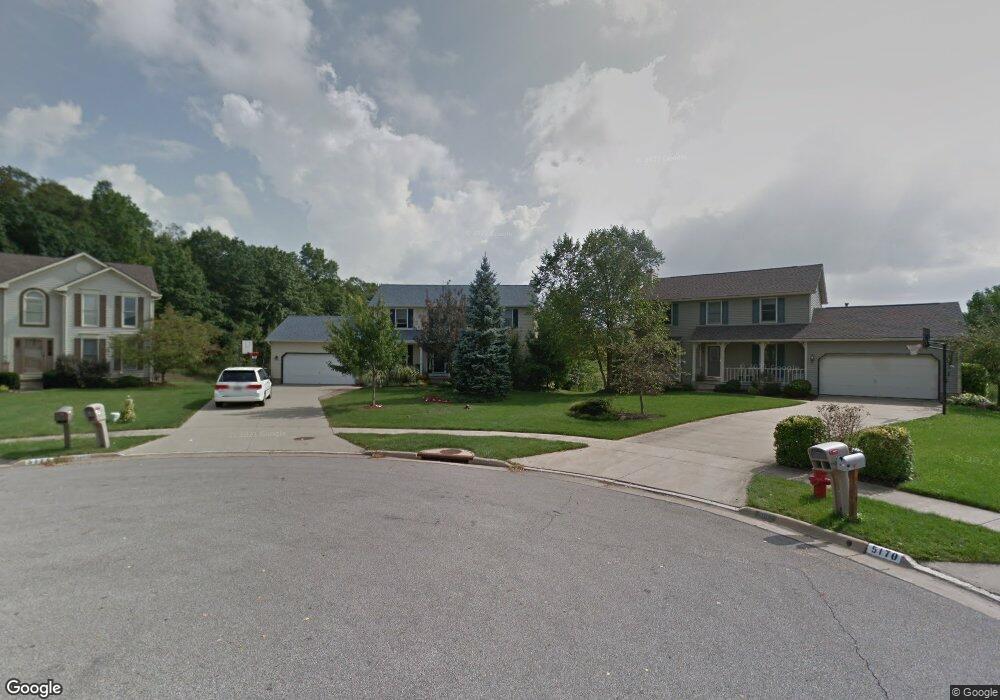
This home is located at 5169 Brockton Dr, Stow, OH 44224 and is currently estimated at $365,701, approximately $180 per square foot. 5169 Brockton Dr is a home located in Summit County with nearby schools including Stow-Munroe Falls High School and Primrose School of Hudson.
Ownership History
Date
Name
Owned For
Owner Type
Purchase Details
Closed on
Oct 13, 2008
Sold by
Hood Thomas E and Hood Katherine A
Bought by
Scontras Dianna E
Current Estimated Value
Home Financials for this Owner
Home Financials are based on the most recent Mortgage that was taken out on this home.
Original Mortgage
$155,600
Outstanding Balance
$101,005
Interest Rate
5.94%
Mortgage Type
Purchase Money Mortgage
Estimated Equity
$264,696
Create a Home Valuation Report for This Property
The Home Valuation Report is an in-depth analysis detailing your home's value as well as a comparison with similar homes in the area
Home Values in the Area
Average Home Value in this Area
Purchase History
| Date | Buyer | Sale Price | Title Company |
|---|---|---|---|
| Scontras Dianna E | $194,500 | Lawyers Title Ins |
Source: Public Records
Mortgage History
| Date | Status | Borrower | Loan Amount |
|---|---|---|---|
| Open | Scontras Dianna E | $155,600 |
Source: Public Records
Tax History
| Year | Tax Paid | Tax Assessment Tax Assessment Total Assessment is a certain percentage of the fair market value that is determined by local assessors to be the total taxable value of land and additions on the property. | Land | Improvement |
|---|---|---|---|---|
| 2024 | $5,682 | $100,937 | $17,178 | $83,759 |
| 2023 | $5,682 | $100,937 | $17,178 | $83,759 |
| 2022 | $5,369 | $84,210 | $14,315 | $69,895 |
| 2021 | $4,806 | $84,210 | $14,315 | $69,895 |
| 2020 | $4,723 | $84,220 | $14,320 | $69,900 |
| 2019 | $4,480 | $74,630 | $14,320 | $60,310 |
| 2018 | $4,407 | $74,630 | $14,320 | $60,310 |
| 2017 | $3,730 | $74,630 | $14,320 | $60,310 |
| 2016 | $3,840 | $61,260 | $14,320 | $46,940 |
| 2015 | $3,730 | $61,260 | $14,320 | $46,940 |
| 2014 | $3,734 | $61,260 | $14,320 | $46,940 |
| 2013 | $3,851 | $63,630 | $14,320 | $49,310 |
Source: Public Records
Map
Nearby Homes
- 5361 Diana Lynn Dr
- 5518 Pond Ct
- 5163 Beckett Ridge
- 1995 Weston Dr
- 4534 Foresthill Rd
- 2221 Crockett Cir
- 5150 Bayside Lake Blvd
- 4556 Fishcreek Rd
- 4544 Fishcreek Rd
- 490 Johnson Rd
- V/L Norton Rd
- 2352 Becket Cir
- 2279 Becket Cir
- 2344 Echo Valley Dr
- 5091 Ridge Meadow Dr
- 4287 Osage St
- 131 Wanda Ct
- 4205 Osage St
- 2353 W Hale Dr
- 4424 Timberdale Dr Unit 4428
- 5175 Brockton Dr
- 5162 Brockton Dr
- 5183 Brockton Dr
- 5170 Brockton Dr
- 5191 Brockton Dr
- 5182 Brockton Dr
- 5190 Brockton Dr
- 5197 Brockton Dr
- 5187 Camden Dr
- 5202 Brockton Dr
- 5205 Brockton Dr
- 5195 Camden Dr
- 5179 Camden Dr
- 5213 Brockton Dr
- 5203 Camden Dr
- 5214 Brockton Dr
- 5182 Camden Dr
- 5221 Brockton Dr
- 5222 Brockton Dr
- 3021 Duquesne Dr
Your Personal Tour Guide
Ask me questions while you tour the home.