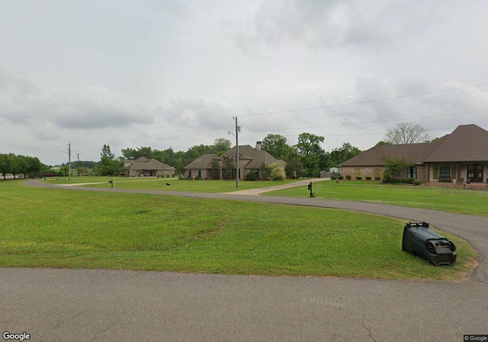
517 Bob Odom Loop Woodworth, LA 71485
Estimated Value: $350,000 - $413,551
4
Beds
3
Baths
2,248
Sq Ft
$169/Sq Ft
Est. Value
About This Home
This home is located at 517 Bob Odom Loop, Woodworth, LA 71485 and is currently estimated at $380,138, approximately $169 per square foot. 517 Bob Odom Loop is a home located in Rapides Parish with nearby schools including Caroline Dormon Junior High School, Alexandria Senior High School, and University Academy.
Ownership History
Date
Name
Owned For
Owner Type
Purchase Details
Closed on
Nov 7, 2011
Sold by
Tanner Dorothy M and Tanner Reginald M
Bought by
Tanner Clarence A
Current Estimated Value
Purchase Details
Closed on
Feb 12, 2007
Sold by
Tanner Christopher Earl
Bought by
Mcgraw William R and Mcgraw Carolyn Roberts
Purchase Details
Closed on
Oct 27, 2006
Sold by
Cloverdale Enterprises Llc
Bought by
Land Clifford Anthony and Land Stephanie Ann Brady
Home Financials for this Owner
Home Financials are based on the most recent Mortgage that was taken out on this home.
Original Mortgage
$49,289
Interest Rate
6.28%
Mortgage Type
Credit Line Revolving
Create a Home Valuation Report for This Property
The Home Valuation Report is an in-depth analysis detailing your home's value as well as a comparison with similar homes in the area
Purchase History
We collect this data history from publicly available records. To have your information removed, we recommend requesting removal directly through your county’s website.
| Date | Buyer | Sale Price | Title Company |
|---|---|---|---|
| Tanner Clarence A | -- | None Available | |
| Mcgraw William R | $3,750 | None Available | |
| Land Clifford Anthony | $49,000 | None Available |
Source: Public Records
Mortgage History
We collect this data history from publicly available records. To have your information removed, we recommend requesting removal directly through your county’s website.
| Date | Status | Borrower | Loan Amount |
|---|---|---|---|
| Previous Owner | Land Clifford Anthony | $49,289 |
Source: Public Records
Tax History
| Year | Tax Paid | Tax Assessment Tax Assessment Total Assessment is a certain percentage of the fair market value that is determined by local assessors to be the total taxable value of land and additions on the property. | Land | Improvement |
|---|---|---|---|---|
| 2025 | $2,952 | $30,700 | $5,600 | $25,100 |
| 2024 | $3,016 | $30,700 | $5,600 | $25,100 |
| 2023 | $2,927 | $29,000 | $5,300 | $23,700 |
| 2022 | $3,434 | $29,000 | $5,300 | $23,700 |
| 2021 | $3,463 | $29,000 | $5,300 | $23,700 |
| 2020 | $3,462 | $29,000 | $5,300 | $23,700 |
| 2019 | $2,207 | $26,800 | $4,900 | $21,900 |
| 2018 | $2,295 | $26,800 | $4,900 | $21,900 |
| 2017 | $2,864 | $26,800 | $4,900 | $21,900 |
| 2016 | $4,181 | $26,800 | $4,900 | $21,900 |
| 2015 | $4,173 | $26,751 | $4,900 | $21,851 |
| 2014 | $4,173 | $26,751 | $4,900 | $21,851 |
| 2013 | $4,500 | $26,751 | $4,900 | $21,851 |
Source: Public Records
Map
Nearby Homes
- 106 Saint Abigail Ln
- 0 Robinson Bridge Rd Unit 2538648
- 0 Forestry Rd
- 20 Juneau Rd
- 54 Indian Creek Rd
- TBD U S 165
- 365 Brookwood Dr
- 8720 165 Hwy
- 103 Clubhouse Dr
- 298 Highway 470
- 9039 Hwy 165 S
- 130 Langston Rd
- 3436 Kisatchie Cir
- 0 Kisatchie Cir
- 0 Forest Ln
- 0 Forest Trail
- 3360 Kisatchie Cir
- 125 Dogwood Pass
- 1240 Lake Dr
- 314 Farm Ln
- 103 Abigail Ln
- 521 Bob Odom Loop
- 111 St Abigail Ln
- 9 Abigail Ln
- 13 Abigail Ln
- 17 Abigail Ln
- 11 Abigail Ln
- 103 Saint Abigail Ln
- 0 Abigail Ln
- 106 Abigail Ln
- 107 Saint Abigail Ln
- 10 Abigail Ln
- 14 Abigail Ln
- 18 Abigail Ln
- 12 Abigail Ln
- 24 Abigail Ln
- 110 Abigail Ln
- 513 Bob Odom Loop
- 113 Abigail Ln
- 113 Saint Abigail Ln
Your Personal Tour Guide
Ask me questions while you tour the home.