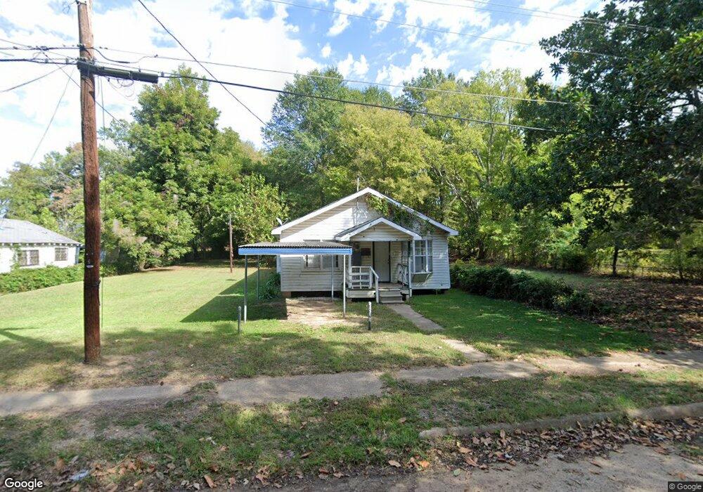
517 Christopher St Shreveport, LA 71101
Allendale-Lakeside NeighborhoodEstimated Value: $42,000 - $56,000
3
Beds
2
Baths
1,332
Sq Ft
$37/Sq Ft
Est. Value
About This Home
This home is located at 517 Christopher St, Shreveport, LA 71101 and is currently estimated at $49,939, approximately $37 per square foot. 517 Christopher St is a home with nearby schools including Judson Fundamental Elementary School, South Highlands Elementary, and Fairfield Magnet School.
Ownership History
Date
Name
Owned For
Owner Type
Purchase Details
Closed on
Feb 15, 2023
Sold by
Johnson Annie Veatta Culver
Bought by
Evans Rachal Diane and Evans James Rachal
Current Estimated Value
Purchase Details
Closed on
Jul 8, 2022
Sold by
Culver Johnson Annie Veatia
Bought by
State Of Louisiana
Purchase Details
Closed on
Jan 25, 2007
Sold by
Pitts Danzy Eugene and Pitts Barbara Ann Jones
Bought by
Johnson Tom Ned and Johnson Annie Veatte
Purchase Details
Closed on
Jan 23, 2007
Sold by
Pitts Wilburn Jo Lynn and Wilburn John H
Bought by
Johnson Tom Ned and Johnson Annie Veatte
Create a Home Valuation Report for This Property
The Home Valuation Report is an in-depth analysis detailing your home's value as well as a comparison with similar homes in the area
Home Values in the Area
Average Home Value in this Area
Purchase History
| Date | Buyer | Sale Price | Title Company |
|---|---|---|---|
| Evans Rachal Diane | $9,000 | -- | |
| State Of Louisiana | $520 | None Listed On Document | |
| Johnson Tom Ned | $12,500 | None Available | |
| Johnson Tom Ned | $12,500 | None Available | |
| Johnson Tom Ned | $12,500 | None Available |
Source: Public Records
Tax History Compared to Growth
Tax History
| Year | Tax Paid | Tax Assessment Tax Assessment Total Assessment is a certain percentage of the fair market value that is determined by local assessors to be the total taxable value of land and additions on the property. | Land | Improvement |
|---|---|---|---|---|
| 2024 | $181 | $1,164 | $664 | $500 |
| 2023 | $180 | $1,132 | $632 | $500 |
| 2022 | $180 | $1,132 | $632 | $500 |
| 2021 | $178 | $1,132 | $632 | $500 |
| 2020 | $178 | $1,132 | $632 | $500 |
| 2019 | $183 | $1,132 | $632 | $500 |
| 2018 | $146 | $1,132 | $632 | $500 |
| 2017 | $186 | $1,132 | $632 | $500 |
| 2015 | $211 | $1,632 | $632 | $1,000 |
| 2014 | $556 | $4,260 | $630 | $3,630 |
| 2013 | -- | $4,260 | $630 | $3,630 |
Source: Public Records
Map
Nearby Homes
- 309 Oregon Ave
- 1111 View St
- 300 Hearne Ave
- 1933 Milam St
- 1943 Milam St
- 2017 Looney St
- 1644 Looney St
- 1656 Looney St
- 1680 Looney St
- 1734 Ashton St
- 719, Lot11 Caddo St
- 707, Lot 15 Caddo St
- 937 Lewis Place
- 730, Lot 22 Fannin St
- 730, Lot 19 Fannin St
- 724, Lot 20 Fannin St
- 724 Lot 18 Fannin St
- 2760 Anna St
- 0 Hwy 1 Unit 20326562
- 1726 Murphy St
- 527 Christopher St
- 515 Christopher St
- 518 1/2 Rear Sheppard St
- 524 Christopher St
- 501 Christopher St
- 535 Christopher St
- 1802 Patzman St
- 526 Christopher St
- 1804 Patzman St
- 1806 Patzman St
- 1749 Patzman St
- 1755 Patzman St
- 1757 Patzman St
- 1839 Patzman St
- 548 Christopher St
- 1745 Patzman St
- 525 March St
- 1737 Patzman St
- 523 March St
- 435 N Dale Ave