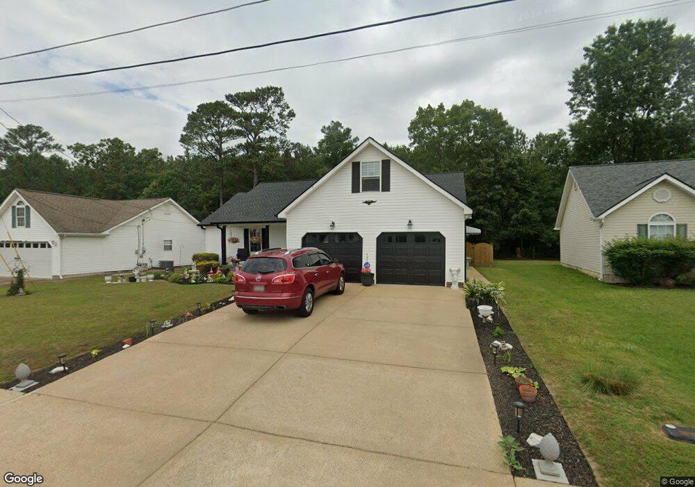
517 Colony Cir Fort Oglethorpe, GA 30742
Estimated Value: $247,063 - $293,000
--
Bed
2
Baths
1,362
Sq Ft
$201/Sq Ft
Est. Value
About This Home
This home is located at 517 Colony Cir, Fort Oglethorpe, GA 30742 and is currently estimated at $274,266, approximately $201 per square foot. 517 Colony Cir is a home located in Catoosa County with nearby schools including West Side Elementary School, Lakeview Middle School, and Lakeview-Fort Oglethorpe High School.
Ownership History
Date
Name
Owned For
Owner Type
Purchase Details
Closed on
Mar 31, 2006
Sold by
Beaird Gene
Bought by
Tucker Michael J
Current Estimated Value
Home Financials for this Owner
Home Financials are based on the most recent Mortgage that was taken out on this home.
Original Mortgage
$122,565
Outstanding Balance
$69,782
Interest Rate
6.2%
Mortgage Type
New Conventional
Estimated Equity
$204,484
Create a Home Valuation Report for This Property
The Home Valuation Report is an in-depth analysis detailing your home's value as well as a comparison with similar homes in the area
Home Values in the Area
Average Home Value in this Area
Purchase History
| Date | Buyer | Sale Price | Title Company |
|---|---|---|---|
| Tucker Michael J | $124,000 | -- |
Source: Public Records
Mortgage History
| Date | Status | Borrower | Loan Amount |
|---|---|---|---|
| Open | Tucker Michael J | $122,565 |
Source: Public Records
Tax History Compared to Growth
Tax History
| Year | Tax Paid | Tax Assessment Tax Assessment Total Assessment is a certain percentage of the fair market value that is determined by local assessors to be the total taxable value of land and additions on the property. | Land | Improvement |
|---|---|---|---|---|
| 2024 | $2,531 | $99,707 | $11,000 | $88,707 |
| 2023 | $2,072 | $77,394 | $11,000 | $66,394 |
| 2022 | $1,701 | $64,180 | $11,000 | $53,180 |
| 2021 | $1,610 | $64,180 | $11,000 | $53,180 |
| 2020 | $1,703 | $57,672 | $11,000 | $46,672 |
| 2019 | $1,550 | $55,672 | $9,000 | $46,672 |
| 2018 | $1,745 | $55,672 | $9,000 | $46,672 |
| 2017 | $1,536 | $52,700 | $7,200 | $45,500 |
| 2016 | $1,503 | $49,557 | $7,200 | $42,357 |
| 2015 | -- | $49,557 | $7,200 | $42,357 |
| 2014 | -- | $49,557 | $7,200 | $42,357 |
| 2013 | -- | $47,574 | $6,912 | $40,662 |
Source: Public Records
Map
Nearby Homes
- 180 Gem Dr
- 351 Franklin Cir
- 124 Colony Cir
- 1002 Cedar Creek Dr
- 17 Southshore Dr
- 183 McDonald Dr
- 66 Yellow Brick Rd
- 64 Yellow Brick Rd
- 239 Flagstone Dr
- 17 Evergreen Cir
- 344 Flagstone Dr
- 18 Evergreen Cir
- 6 Rocky Ford Rd
- 14 Evergreen Cir
- 72 Anchor Dr
- 69 Anchor Dr
- Robie Plan at Evergreen Landing
- Darwin Plan at Evergreen Landing
- Edmon Plan at Evergreen Landing
- Sullivan Plan at Evergreen Landing
- 503 Colony Cir
- 529 Colony Cir
- 489 Colony Cir
- 518 Colony Cir
- 539 Colony Cir
- 504 Colony Cir
- 546 Colony Cir
- 490 Colony Cir
- 547 Colony Cir
- 478 Colony Cir
- 574 Colony Cir
- 38 Stone Edge Ct
- 557 Colony Cir
- 464 Colony Cir
- 28 Stone Edge Ct
- 588 Colony Cir
- 48 Stone Edge Ct
- 567 Colony Cir
- 455 Colony Cir
- 438 Colony Cir