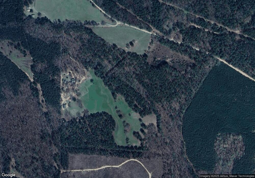
517 Dean Rd Barnesville, GA 30204
Estimated Value: $226,000 - $588,566
3
Beds
1
Bath
492
Sq Ft
$822/Sq Ft
Est. Value
About This Home
This home is located at 517 Dean Rd, Barnesville, GA 30204 and is currently estimated at $404,189, approximately $821 per square foot. 517 Dean Rd is a home located in Lamar County with nearby schools including Lamar County Primary School, Lamar County Elementary School, and Lamar County Middle School.
Ownership History
Date
Name
Owned For
Owner Type
Purchase Details
Closed on
Jan 18, 2007
Sold by
Not Provided
Bought by
Cash Larry E and Hanson Lenard
Current Estimated Value
Purchase Details
Closed on
Dec 18, 2001
Sold by
Cash Larry and Nellie Hanson
Bought by
Hanson Lenard and Hanson Connie
Purchase Details
Closed on
Mar 19, 1976
Sold by
Whatley Amos and Whatley Rosie
Bought by
Cash Larry
Purchase Details
Closed on
Mar 1, 1976
Sold by
Whatley Rosie
Bought by
Cash Larry E
Create a Home Valuation Report for This Property
The Home Valuation Report is an in-depth analysis detailing your home's value as well as a comparison with similar homes in the area
Home Values in the Area
Average Home Value in this Area
Purchase History
| Date | Buyer | Sale Price | Title Company |
|---|---|---|---|
| Cash Larry E | -- | -- | |
| Hanson Lenard | -- | -- | |
| Cash Larry | -- | -- | |
| Cash Larry E | $32,000 | -- |
Source: Public Records
Tax History Compared to Growth
Tax History
| Year | Tax Paid | Tax Assessment Tax Assessment Total Assessment is a certain percentage of the fair market value that is determined by local assessors to be the total taxable value of land and additions on the property. | Land | Improvement |
|---|---|---|---|---|
| 2024 | $2,232 | $162,267 | $75,850 | $86,417 |
| 2023 | $2,394 | $162,267 | $75,850 | $86,417 |
| 2022 | $2,755 | $162,267 | $75,850 | $86,417 |
| 2021 | $2,041 | $138,656 | $70,384 | $68,272 |
| 2020 | $2,091 | $140,484 | $72,212 | $68,272 |
| 2019 | $2,082 | $140,484 | $72,212 | $68,272 |
| 2018 | $2,262 | $138,015 | $72,212 | $65,803 |
| 2017 | $2,234 | $138,015 | $72,212 | $65,803 |
| 2016 | $2,217 | $138,015 | $72,212 | $65,803 |
| 2015 | $2,202 | $138,015 | $72,212 | $65,803 |
| 2014 | $2,118 | $138,015 | $72,212 | $65,803 |
| 2013 | -- | $138,015 | $72,212 | $65,802 |
Source: Public Records
Map
Nearby Homes
- 3474 Old Atlanta Hwy
- 0 Crawford Rd Unit 10611435
- 941 Floyd Rd
- 239 Walters Rd
- 239 Walters Rd Unit TRACT 5
- 239 Walters Rd Unit TRACT 3
- 310 Preakness Way
- 331 Preakness Way
- 151 Derby Dr
- 461 Preakness Way
- 0 Zellner Rd Unit 10572316
- 0 Zellner Rd Unit 180679
- 880 Johnstonville Rd
- 52 Floyd Rd
- 0 Parks Rd Unit 181867
- 0 Parks Rd Unit 10629635
- 507 N Ridge Rd
- 507 N North Ridge Rd
- 325 Parks Rd
- 301 Parks Rd
- 481 Dean Rd
- 457 Dean Rd
- 1652 Crawford Rd
- 425 Dean Rd
- 1444 Highway 41 S
- 0 Dean Rd Unit 174AC 7398467
- 0 Dean Rd Unit 7265739
- 0 Dean Rd Unit 6854853
- 0 Dean Rd Unit 8944473
- 0 Dean Rd Unit 7585153
- 371 Dean Rd
- 371 Dean Rd
- 1661 Crawford Rd
- 187 Dumas Rd
- 187 Dumas Rd
- 1695 Crawford Rd
- 315 Mott Rd
- 427 Dean Rd
- 275 Mott Rd
- 546 Dumas Rd
