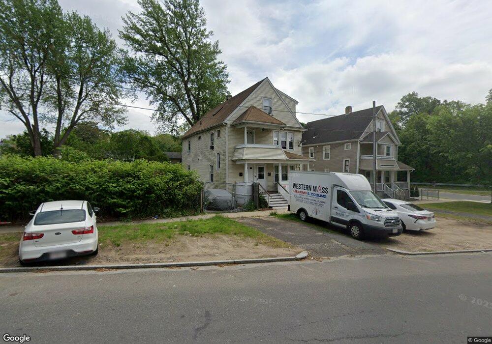
517 Hancock St Unit 519 Springfield, MA 01105
Maple-High Six Corners NeighborhoodEstimated Value: $301,888 - $370,000
About This Home
This home is located at 517 Hancock St Unit 519, Springfield, MA 01105 and is currently estimated at $337,472, approximately $116 per square foot. 517 Hancock St Unit 519 is a home located in Hampden County with nearby schools including Elias Brookings School, M Marcus Kiley Middle, and High School Of Commerce.
Ownership History
We collect this data history from publicly available records. To have your information removed, we recommend requesting removal directly through your county’s website.
Purchase Details
Purchase Details
Home Financials for this Owner
Home Financials are based on the most recent Mortgage that was taken out on this home.Purchase Details
Purchase Details
Purchase Details
Home Values in the Area
Average Home Value in this Area
Purchase History
We collect this data history from publicly available records. To have your information removed, we recommend requesting removal directly through your county’s website.
| Date | Buyer | Sale Price | Title Company |
|---|---|---|---|
| $290,000 | None Available | ||
| -- | None Available | ||
| -- | -- | ||
| $105,000 | -- | ||
| $1,000 | -- |
Mortgage History
We collect this data history from publicly available records. To have your information removed, we recommend requesting removal directly through your county’s website.
| Date | Status | Borrower | Loan Amount |
|---|---|---|---|
| Previous Owner | $153,364 | ||
| Previous Owner | $156,000 | ||
| Previous Owner | $63,000 |
Tax History
We collect this data history from publicly available records. To have your information removed, we recommend requesting removal directly through your county’s website.
| Year | Tax Paid | Tax Assessment Tax Assessment Total Assessment is a certain percentage of the fair market value that is determined by local assessors to be the total taxable value of land and additions on the property. | Land | Improvement |
|---|---|---|---|---|
| 2025 | $4,041 | $257,700 | $23,800 | $233,900 |
| 2024 | $4,021 | $250,400 | $22,200 | $228,200 |
| 2023 | $2,469 | $144,800 | $21,200 | $123,600 |
| 2022 | $2,853 | $151,600 | $19,200 | $132,400 |
| 2021 | $2,584 | $136,700 | $17,500 | $119,200 |
| 2020 | $2,670 | $136,700 | $17,500 | $119,200 |
| 2019 | $2,314 | $117,600 | $17,500 | $100,100 |
| 2018 | $2,269 | $113,500 | $17,500 | $96,000 |
| 2017 | $2,269 | $115,400 | $14,000 | $101,400 |
| 2016 | $1,988 | $101,100 | $14,000 | $87,100 |
| 2015 | $1,926 | $97,900 | $14,000 | $83,900 |
Map
- 27 Chester St
- 13-15 Wigwam Place
- 172-174 Euclid Ave
- 146 Bellevue Ave
- 0 Allen St (Ss)
- 185 Leyfred Terrace
- 122 Bellevue Ave
- 14-16 Revere St
- 10 Revere St
- 415 Maple St
- 20 Hawthorne St
- 100 Keith St
- 35-37 Pine Street Ct
- 72 Hall St
- 47 Keith St
- 42 Hall St
- 50 Bellevue Ave
- 19 Wareham St
- 2 Crescent Hill
- 45-47 Johnson St
- 82 Chester St Unit 84
- 90 Chester St
- 76 Chester St Unit 78
- 76-78 Chester St
- 88 Chester St Unit 90
- 88-90 Chester St
- 18 Rifle St Unit 20
- 72 Chester St Unit 74
- 72-74 Chester St
- 521 Hancock St Unit 523
- 38 Rifle St
- 38-40 Rifle St
- 38 Rifle St Unit 40
- 75 Chester St Unit 1
- 75 Chester St Unit 77
- 75 Chester St Unit 75
- 75 Chester St
- 77 Chester St Unit 77
- 40 Rifle St Unit 40
- 68 Chester St
Ask me questions while you tour the home.