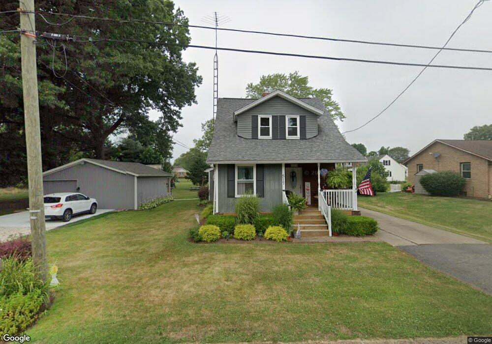
517 Hazel Ave Louisville, OH 44641
Estimated Value: $146,783 - $234,000
3
Beds
2
Baths
1,479
Sq Ft
$129/Sq Ft
Est. Value
About This Home
This home is located at 517 Hazel Ave, Louisville, OH 44641 and is currently estimated at $190,946, approximately $129 per square foot. 517 Hazel Ave is a home located in Stark County with nearby schools including Louisville High School and St. Thomas Aquinas High School & Middle School.
Ownership History
Date
Name
Owned For
Owner Type
Purchase Details
Closed on
Apr 24, 1999
Sold by
Danford Randall S
Bought by
Danford Randall S and Danford Trina M
Current Estimated Value
Home Financials for this Owner
Home Financials are based on the most recent Mortgage that was taken out on this home.
Original Mortgage
$78,000
Interest Rate
7.05%
Mortgage Type
Purchase Money Mortgage
Purchase Details
Closed on
Apr 26, 1991
Create a Home Valuation Report for This Property
The Home Valuation Report is an in-depth analysis detailing your home's value as well as a comparison with similar homes in the area
Home Values in the Area
Average Home Value in this Area
Purchase History
| Date | Buyer | Sale Price | Title Company |
|---|---|---|---|
| Danford Randall S | -- | Rrr Title Agency Inc | |
| -- | $39,000 | -- |
Source: Public Records
Mortgage History
| Date | Status | Borrower | Loan Amount |
|---|---|---|---|
| Closed | Danford Randall S | $78,000 |
Source: Public Records
Tax History Compared to Growth
Tax History
| Year | Tax Paid | Tax Assessment Tax Assessment Total Assessment is a certain percentage of the fair market value that is determined by local assessors to be the total taxable value of land and additions on the property. | Land | Improvement |
|---|---|---|---|---|
| 2025 | -- | $39,700 | $7,110 | $32,590 |
| 2024 | -- | $39,700 | $7,110 | $32,590 |
| 2023 | $1,421 | $33,040 | $6,720 | $26,320 |
| 2022 | $1,426 | $33,040 | $6,720 | $26,320 |
| 2021 | $1,430 | $33,040 | $6,720 | $26,320 |
| 2020 | $1,177 | $29,690 | $6,060 | $23,630 |
| 2019 | $1,182 | $28,010 | $6,060 | $21,950 |
| 2018 | $1,111 | $28,010 | $6,060 | $21,950 |
| 2017 | $1,022 | $24,850 | $5,320 | $19,530 |
| 2016 | $1,049 | $24,850 | $5,320 | $19,530 |
| 2015 | $1,052 | $24,850 | $5,320 | $19,530 |
| 2014 | $978 | $21,470 | $4,590 | $16,880 |
| 2013 | $492 | $21,470 | $4,590 | $16,880 |
Source: Public Records
Map
Nearby Homes
- 1715 High St
- 1812 E Broad St
- 641 S Nickelplate St
- 308 Superior St
- 520 S Silver St
- 728 E Broad St
- 0 Michigan Blvd
- 2110 Edmar St
- 2015 E Main St
- 204 E Broad St
- 107 E Broad St
- 908 Sand Lot Cir
- 325 Lincoln Ave
- 1170 Winding Ridge Ave
- 3390 Meese Rd NE
- 910 Crosswyck Cir
- 1702 View Pointe Ave
- 1639 Horizon Dr
- 428 Honeycrisp Dr NE
- 3047 Mcintosh Dr NE