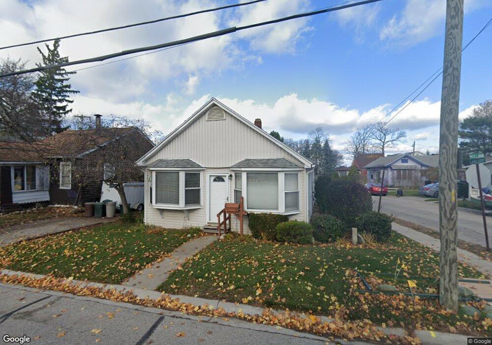
517 Holland Ave Port Huron, MI 48060
Estimated Value: $147,000 - $245,000
2
Beds
2
Baths
1,036
Sq Ft
$174/Sq Ft
Est. Value
About This Home
This home is located at 517 Holland Ave, Port Huron, MI 48060 and is currently estimated at $179,949, approximately $173 per square foot. 517 Holland Ave is a home located in St. Clair County with nearby schools including Garfield Elementary School, Fort Gratiot Middle School, and Port Huron Northern High School.
Ownership History
Date
Name
Owned For
Owner Type
Purchase Details
Closed on
Nov 15, 2021
Sold by
Hermiz Zivad and Kaji Avad
Bought by
Kaji Ayad and Kaji Suzanne
Current Estimated Value
Home Financials for this Owner
Home Financials are based on the most recent Mortgage that was taken out on this home.
Original Mortgage
$127,500
Outstanding Balance
$98,853
Interest Rate
2.23%
Mortgage Type
New Conventional
Estimated Equity
$81,096
Purchase Details
Closed on
Jul 13, 2020
Sold by
Preston Karen and Kearns Robert D
Bought by
Hermiz Ziyad and Kaji Ayad
Create a Home Valuation Report for This Property
The Home Valuation Report is an in-depth analysis detailing your home's value as well as a comparison with similar homes in the area
Home Values in the Area
Average Home Value in this Area
Purchase History
| Date | Buyer | Sale Price | Title Company |
|---|---|---|---|
| Kaji Ayad | -- | Servicelink | |
| Hermiz Ziyad | $67,500 | None Available |
Source: Public Records
Mortgage History
| Date | Status | Borrower | Loan Amount |
|---|---|---|---|
| Open | Kaji Ayad | $127,500 |
Source: Public Records
Tax History Compared to Growth
Tax History
| Year | Tax Paid | Tax Assessment Tax Assessment Total Assessment is a certain percentage of the fair market value that is determined by local assessors to be the total taxable value of land and additions on the property. | Land | Improvement |
|---|---|---|---|---|
| 2025 | $3,106 | $61,400 | $0 | $0 |
| 2024 | $2,771 | $56,200 | $0 | $0 |
| 2023 | $2,624 | $49,900 | $0 | $0 |
| 2022 | $2,679 | $44,200 | $0 | $0 |
| 2021 | $2,524 | $40,900 | $0 | $0 |
| 2020 | $1,333 | $41,200 | $41,200 | $0 |
| 2019 | $1,309 | $36,600 | $0 | $0 |
| 2018 | $1,280 | $36,600 | $0 | $0 |
| 2017 | $1,144 | $33,100 | $0 | $0 |
| 2016 | $972 | $33,100 | $0 | $0 |
| 2015 | $954 | $29,500 | $29,500 | $0 |
| 2014 | $954 | $26,800 | $26,800 | $0 |
| 2013 | -- | $26,200 | $0 | $0 |
Source: Public Records
Map
Nearby Homes
- 3455 Gratiot Ave
- 3321 Stone St
- 1020 Sanborn St
- 3214 Poplar St
- 1424 Hazelwood Ln
- 1202 Palmer Ct
- 2913 11th Ave
- 1531 Robinson St
- 1218 Garfield St
- 1434 Schumaker St
- 3850 Butternut Ct
- 3208 Mount Vernon Rd
- 1116 Hancock St
- 2431 Armour St
- 3419 Riverside Dr
- 2419 Cherry St
- 2400 Stone St Unit 2414
- 2812 19th Ave
- 2215 Hancock St
- 3515 Strawberry Ln
- 519 Holland Ave
- 521 Holland Ave
- 3611 Lakeside Ct
- 419 Holland Ave
- 510 Holland Ave
- 3615 Lakeside Ct
- 413 Holland Ave
- 3614 Lakeside Ct
- 3612 Lakeside Ct
- 596 Lakeside Park Unit Bldg-Unit
- 596 Lakeside Park
- 590 Lakeside Park
- 586 Lakeside Park
- 3567 Armour St
- 3604 Gratiot Ave
- 3619 Lakeside Ct
- 3618 Lakeside Ct
- 3608 Gratiot Ave
- 3561 Armour St
- 426 Holland Ave