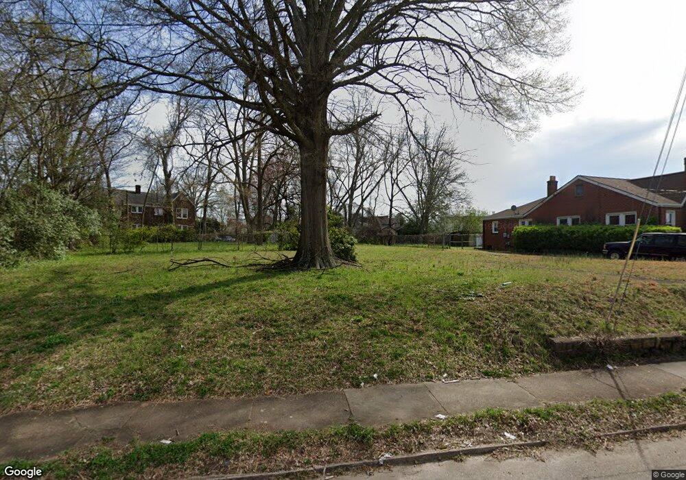
517 Lincolnton Rd Unit PB Salisbury, NC 28144
Estimated Value: $190,000 - $319,000
1
Bed
2
Baths
1,200
Sq Ft
$198/Sq Ft
Est. Value
About This Home
This home is located at 517 Lincolnton Rd Unit PB, Salisbury, NC 28144 and is currently estimated at $238,170, approximately $198 per square foot. 517 Lincolnton Rd Unit PB is a home located in Rowan County with nearby schools including Elizabeth Duncan Koontz Elementary School, Knox Middle School, and North Rowan Middle School.
Ownership History
Date
Name
Owned For
Owner Type
Purchase Details
Closed on
Sep 8, 2022
Sold by
Bent Oaks Llc
Bought by
Charlotte Investors Group Llc
Current Estimated Value
Purchase Details
Closed on
Feb 18, 2022
Sold by
Legacy Investments Llc
Bought by
Bent Oaks Llc
Purchase Details
Closed on
Aug 12, 2021
Sold by
Charlotte Investors Group Llc
Bought by
Legacy Investments Llc
Purchase Details
Closed on
May 13, 2021
Sold by
Williams Michael Anthony and Williams Angelique
Bought by
Charlotte Investors Group Llc
Create a Home Valuation Report for This Property
The Home Valuation Report is an in-depth analysis detailing your home's value as well as a comparison with similar homes in the area
Home Values in the Area
Average Home Value in this Area
Purchase History
| Date | Buyer | Sale Price | Title Company |
|---|---|---|---|
| Charlotte Investors Group Llc | -- | -- | |
| Bent Oaks Llc | -- | None Listed On Document | |
| Legacy Investments Llc | -- | None Available | |
| Charlotte Investors Group Llc | $10,000 | None Available |
Source: Public Records
Tax History Compared to Growth
Tax History
| Year | Tax Paid | Tax Assessment Tax Assessment Total Assessment is a certain percentage of the fair market value that is determined by local assessors to be the total taxable value of land and additions on the property. | Land | Improvement |
|---|---|---|---|---|
| 2025 | $1,898 | $0 | $0 | $0 |
| 2024 | $1,898 | $158,674 | $19,663 | $139,011 |
| 2023 | $242 | $20,263 | $19,663 | $600 |
| 2022 | $480 | $34,878 | $34,278 | $600 |
| 2021 | $480 | $34,878 | $34,278 | $600 |
| 2020 | $480 | $34,878 | $34,278 | $600 |
| 2019 | $480 | $34,878 | $34,278 | $600 |
| 2018 | $474 | $34,891 | $34,291 | $600 |
| 2017 | $472 | $34,891 | $34,291 | $600 |
| 2016 | $459 | $34,891 | $34,291 | $600 |
| 2015 | $461 | $34,891 | $34,291 | $600 |
| 2014 | $394 | $30,143 | $29,543 | $600 |
Source: Public Records
Map
Nearby Homes
- 817 S Jackson St
- 119 Wiley Ave
- 701 S Fulton St
- 222 W McCubbins St
- 1125 Fries St
- 719 S Jackson St
- 629 S Caldwell St
- 421 Elm St
- 300 W Thomas St
- 119 Mitchell Ave
- 823 Lincolnton Rd
- 603 S Fulton St
- 227 Mitchell Ave
- 406 Grace St
- 204 Maupin Ave
- 115 W Thomas St
- 522 Elm St
- 209 W Marsh St
- 207 Maupin Ave
- 106 Crawford St
- 517 Lincolnton Rd
- 517 Lincolnton Rd Unit B
- 517 Lincolnton Rd Unit A
- 521 Lincolnton Rd
- 513 Lincolnton Rd
- 511 Lincolnton Rd
- 1006 S Fulton St
- 527 Lincolnton Rd
- 124 Ridge Ave
- 128 Ridge Ave
- 116 Ridge Ave
- 120 Ridge Ave
- 1002 S Fulton St
- 1010 S Fulton St
- 427 Lincolnton Rd
- 114 Ridge Ave
- 114 Ridge Ave Unit NULL
- 531 Lincolnton Rd
- 138 Ridge Ave
- 924 S Fulton St
