517 Maxwell Ln Denison, TX 75020
Estimated Value: $1,076,042
3
Beds
2
Baths
1,488
Sq Ft
$723/Sq Ft
Est. Value
About This Home
This home is located at 517 Maxwell Ln, Denison, TX 75020 and is currently estimated at $1,076,042, approximately $723 per square foot. 517 Maxwell Ln is a home located in Grayson County with nearby schools including Mayes Elementary School, Scott Middle School, and Denison High School.
Ownership History
Date
Name
Owned For
Owner Type
Purchase Details
Closed on
Jun 24, 2025
Sold by
Maxwell Leroy A and Joyce Annette
Bought by
Maxwell Cassandra Leigh
Current Estimated Value
Purchase Details
Closed on
Nov 21, 2022
Sold by
Maxwell Cassandra Leigh
Bought by
Maxwell Leroy A and Maxwell Joyce Annette
Purchase Details
Closed on
Sep 23, 2022
Sold by
Maxwell Leroy A and Joyce Annette
Bought by
Maxwell Leroy A and Maxwell Joyce Annette
Create a Home Valuation Report for This Property
The Home Valuation Report is an in-depth analysis detailing your home's value as well as a comparison with similar homes in the area
Home Values in the Area
Average Home Value in this Area
Purchase History
| Date | Buyer | Sale Price | Title Company |
|---|---|---|---|
| Maxwell Cassandra Leigh | -- | None Listed On Document | |
| Maxwell Leroy A | -- | -- | |
| Maxwell Leroy A | -- | -- | |
| Maxwell Leroy A | -- | -- |
Source: Public Records
Tax History
| Year | Tax Paid | Tax Assessment Tax Assessment Total Assessment is a certain percentage of the fair market value that is determined by local assessors to be the total taxable value of land and additions on the property. | Land | Improvement |
|---|---|---|---|---|
| 2025 | -- | $563,696 | -- | -- |
| 2024 | $8,257 | $512,471 | $0 | $0 |
| 2023 | $7,358 | $426,815 | $0 | $0 |
| 2022 | $1,446 | $83,864 | $0 | $0 |
| 2021 | $1,427 | $102,796 | $14,834 | $87,962 |
| 2020 | $1,549 | $83,980 | $29,422 | $54,558 |
| 2019 | $1,507 | $71,126 | $22,576 | $48,550 |
| 2018 | $1,467 | $68,520 | $19,864 | $48,656 |
| 2017 | $1,481 | $68,744 | $19,921 | $48,823 |
| 2016 | $1,435 | $66,596 | $17,737 | $48,859 |
| 2015 | $292 | $65,503 | $16,711 | $48,792 |
| 2014 | $442 | $61,180 | $12,388 | $48,792 |
Source: Public Records
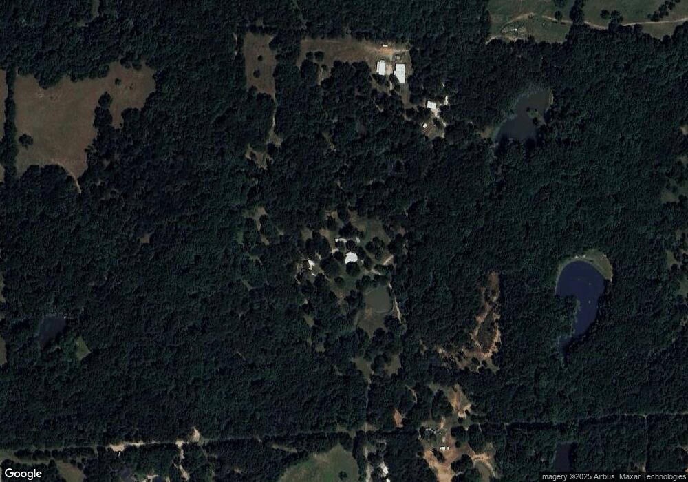
Map
Nearby Homes
- Lot #8 Summit Oaks Cir
- 48 Summit Oaks Cir
- 2 Summit Oaks Cir
- 6914 Farm To Market 120
- 1 Farm To Market 120
- TBD Preston Rd
- 4170 Carter Ct
- TBD W Fm 120
- 20 Golf Walk Cir
- 108 Golf Walk Cir
- 334 Golf Walk Cir
- 000 TBD Golf Walk Cir
- 3906 Highland Dr
- 106 Glenwood Dr
- 1026 S Fm 131
- 5300 Highland Dr
- 3930 W Fm 120
- 113 Iron Horse Ln
- 610 Deleon St
- TBD Angus Rd
- 578 Maxwell Ln
- 593 Maxwell Ln
- 358 Maxwell Ln
- 43 Summit Oaks Cir
- 40 Summit Oaks Cir
- 42 Summit Oaks Cir
- Summit Summit Oaks Ranch
- TBD Summit Oaks Ranch
- TBD Summit Oaks Cir
- TBD Summit Oaks Cir
- 447 Holder Ln
- Lot 8 Summit Oaks Cir
- 206 Maxwell Ln
- 44 Summit Oaks Cir
- 11 Summit Oaks Cir
- 164 Maxwell Ln
- 150 Maxwell Ln
- 150 Maxwell Ln
- 56 Summit Oaks Cir
- 9 Summit Oaks Cir
Your Personal Tour Guide
Ask me questions while you tour the home.