517 Shadowbrook Trail Mullica Hill, NJ 08062
Mantua Township NeighborhoodEstimated Value: $1,445,867 - $1,739,000
--
Bed
--
Bath
7,796
Sq Ft
$206/Sq Ft
Est. Value
About This Home
This home is located at 517 Shadowbrook Trail, Mullica Hill, NJ 08062 and is currently estimated at $1,604,956, approximately $205 per square foot. 517 Shadowbrook Trail is a home located in Gloucester County with nearby schools including Centre City School, Clearview Regional Middle School, and Clearview Regional High School.
Ownership History
Date
Name
Owned For
Owner Type
Purchase Details
Closed on
Oct 30, 2008
Sold by
Madden Thomas
Bought by
Jones Samuel H and Jones Jean W
Current Estimated Value
Purchase Details
Closed on
Oct 31, 2005
Sold by
Jones Samuel H
Bought by
Jones Samuel H and Jones Jean W
Purchase Details
Closed on
Feb 23, 2004
Sold by
Rollo Joseph M and Rollo Anna Maria J
Bought by
Jones Samuel H
Home Financials for this Owner
Home Financials are based on the most recent Mortgage that was taken out on this home.
Original Mortgage
$30,000
Interest Rate
5.67%
Mortgage Type
Purchase Money Mortgage
Purchase Details
Closed on
Dec 24, 2001
Sold by
T & C Development Corp Inc
Bought by
Rollo Joseph M and Rollo Maria J
Home Financials for this Owner
Home Financials are based on the most recent Mortgage that was taken out on this home.
Original Mortgage
$30,000
Interest Rate
6.61%
Create a Home Valuation Report for This Property
The Home Valuation Report is an in-depth analysis detailing your home's value as well as a comparison with similar homes in the area
Home Values in the Area
Average Home Value in this Area
Purchase History
| Date | Buyer | Sale Price | Title Company |
|---|---|---|---|
| Jones Samuel H | $210,000 | Foundation Title Llc | |
| Jones Samuel H | -- | -- | |
| Jones Samuel H | $175,000 | Congress | |
| Rollo Joseph M | $105,000 | -- |
Source: Public Records
Mortgage History
| Date | Status | Borrower | Loan Amount |
|---|---|---|---|
| Previous Owner | Jones Samuel H | $30,000 | |
| Previous Owner | Rollo Joseph M | $30,000 |
Source: Public Records
Tax History Compared to Growth
Tax History
| Year | Tax Paid | Tax Assessment Tax Assessment Total Assessment is a certain percentage of the fair market value that is determined by local assessors to be the total taxable value of land and additions on the property. | Land | Improvement |
|---|---|---|---|---|
| 2025 | $34,585 | $1,343,100 | $165,200 | $1,177,900 |
| 2024 | $34,222 | $1,343,100 | $165,200 | $1,177,900 |
| 2023 | $34,222 | $1,343,100 | $165,200 | $1,177,900 |
| 2022 | $42,457 | $1,204,800 | $150,200 | $1,054,600 |
| 2021 | $42,457 | $1,204,800 | $150,200 | $1,054,600 |
| 2020 | $42,120 | $1,204,800 | $150,200 | $1,054,600 |
| 2019 | $41,409 | $1,204,800 | $150,200 | $1,054,600 |
| 2018 | $40,819 | $1,204,800 | $150,200 | $1,054,600 |
| 2017 | $40,204 | $1,204,800 | $150,200 | $1,054,600 |
| 2016 | $39,746 | $1,204,800 | $150,200 | $1,054,600 |
| 2015 | $38,770 | $1,204,800 | $150,200 | $1,054,600 |
| 2014 | $37,469 | $1,204,800 | $150,200 | $1,054,600 |
Source: Public Records
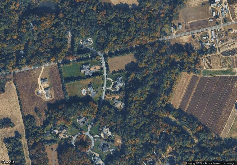
Map
Nearby Homes
- 0 Jackson Rd
- 691 Jackson Rd
- 326 Stonehouse Ln
- 976 Bridgeton Pike
- L13 N Bridgeton Pike
- 0 Bridgeton Pike Unit NJGL2059468
- 270 Jefferson Rd
- 205 Sherwin Rd
- 290 Montgomery Dr
- 127 Karen Ct
- 22 Hart Ln
- 139 Sherwin Rd
- 211 Emerald Ln
- B 45, L 10.02 Wolfert Station Rd
- 333 Jackson Rd
- 284 Columbus Dr
- 17 Oakton Dr
- 608 Main St
- 580 Mount Royal Rd
- 680 Main St
- 519 Shadowbrook Trail
- 535 Shadowbrook Trail
- 537 Shadowbrook Trail
- 488 Breakneck Rd
- 521 Shadowbrook Trail
- 502 Breakneck Rd
- 523 Shadowbrook Trail
- 164 Duffield Rd
- 555 Breakneck Rd
- 531 Shadowbrook Trail
- 168 Duffield Rd
- 160 Weatherby Rd
- 525 Shadowbrook Trail
- 456 Breakneck Rd
- 172 Glover Rd
- 152 Weatherby Rd
- 144 Glover Rd
- 148 Weatherby Rd
- 157 Glover Rd
- 155 Glover Rd