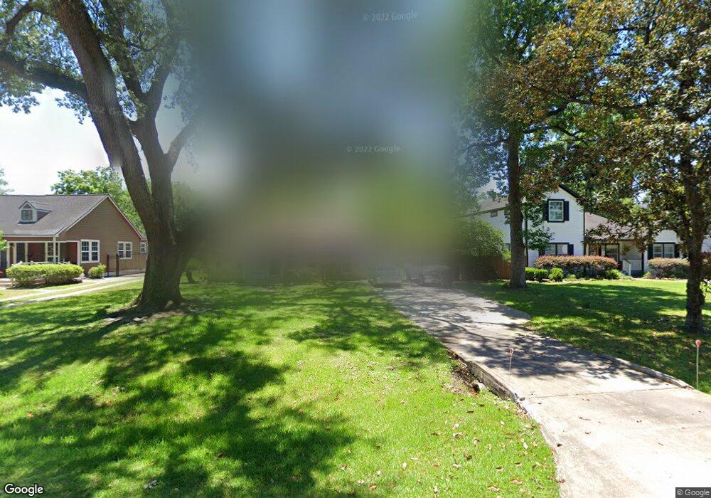
517 W 31st St Houston, TX 77018
Oak Forest-Garden Oaks NeighborhoodEstimated Value: $482,000 - $627,944
1
Bed
1
Bath
1,589
Sq Ft
$358/Sq Ft
Est. Value
About This Home
This home is located at 517 W 31st St, Houston, TX 77018 and is currently estimated at $568,736, approximately $357 per square foot. 517 W 31st St is a home located in Harris County with nearby schools including Garden Oaks Montessori, Frank Black Middle School, and Booker T Washington Sr High.
Ownership History
Date
Name
Owned For
Owner Type
Purchase Details
Closed on
Feb 9, 2007
Sold by
Birdwell Milton L
Bought by
Sandles Everett L
Current Estimated Value
Home Financials for this Owner
Home Financials are based on the most recent Mortgage that was taken out on this home.
Original Mortgage
$150,800
Outstanding Balance
$90,473
Interest Rate
6.19%
Mortgage Type
Purchase Money Mortgage
Estimated Equity
$478,263
Create a Home Valuation Report for This Property
The Home Valuation Report is an in-depth analysis detailing your home's value as well as a comparison with similar homes in the area
Home Values in the Area
Average Home Value in this Area
Purchase History
| Date | Buyer | Sale Price | Title Company |
|---|---|---|---|
| Sandles Everett L | -- | Commonwealth Land Title |
Source: Public Records
Mortgage History
| Date | Status | Borrower | Loan Amount |
|---|---|---|---|
| Open | Sandles Everett L | $150,800 |
Source: Public Records
Tax History Compared to Growth
Tax History
| Year | Tax Paid | Tax Assessment Tax Assessment Total Assessment is a certain percentage of the fair market value that is determined by local assessors to be the total taxable value of land and additions on the property. | Land | Improvement |
|---|---|---|---|---|
| 2025 | $11,880 | $574,363 | $519,477 | $54,886 |
| 2024 | $11,880 | $567,773 | $519,477 | $48,296 |
| 2023 | $11,880 | $543,036 | $494,740 | $48,296 |
| 2022 | $10,221 | $464,203 | $408,161 | $56,042 |
| 2021 | $9,985 | $428,419 | $383,424 | $44,995 |
| 2020 | $10,306 | $425,580 | $383,424 | $42,156 |
| 2019 | $10,801 | $426,838 | $383,424 | $43,414 |
| 2018 | $9,817 | $387,971 | $346,318 | $41,653 |
| 2017 | $9,810 | $387,971 | $346,318 | $41,653 |
| 2016 | $9,810 | $387,971 | $346,318 | $41,653 |
| 2015 | $7,369 | $387,971 | $346,318 | $41,653 |
| 2014 | $7,369 | $286,669 | $247,370 | $39,299 |
Source: Public Records
Map
Nearby Homes
- 519 W 31st St
- 824 & 828 W 32nd St
- 520 W 30th St
- 431 W 30th St
- 408 W 30th St
- 336 W 32nd St
- 524 W 34th St
- 544 W 28th St
- 509 W 27th St
- 2710 Nicholson St
- 531 W 27th St
- 312 W 32nd St
- 2708 N Shepherd Dr
- 326 W 28th St
- 2608 Ashland St
- 324 W 27th St
- 515 W 25th St Unit 1
- 449 W 25th St Unit C
- 717 Sue Barnett Dr
- 822 W 31st St
