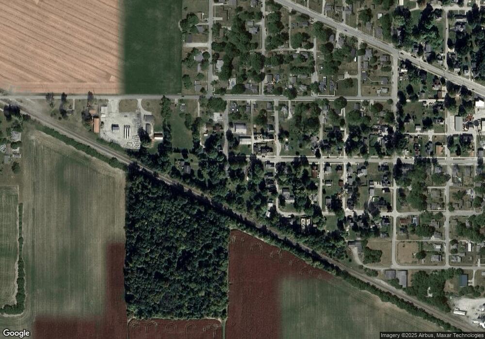
517 W Perrin St Mulberry, IN 46058
Estimated Value: $177,000 - $244,000
3
Beds
2
Baths
1,398
Sq Ft
$149/Sq Ft
Est. Value
About This Home
This home is located at 517 W Perrin St, Mulberry, IN 46058 and is currently estimated at $208,660, approximately $149 per square foot. 517 W Perrin St is a home with nearby schools including Clinton Prairie Elementary School and Clinton Prairie Junior/Senior High School.
Ownership History
Date
Name
Owned For
Owner Type
Purchase Details
Closed on
May 16, 2008
Sold by
Tlrm Choice Properties Llc
Bought by
Morris Dennis and Gibson Dayna
Current Estimated Value
Home Financials for this Owner
Home Financials are based on the most recent Mortgage that was taken out on this home.
Original Mortgage
$59,073
Outstanding Balance
$37,508
Interest Rate
5.93%
Mortgage Type
FHA
Estimated Equity
$171,152
Purchase Details
Closed on
Sep 18, 2007
Sold by
Ruckel Jeffrey C and Ruckel Shelly M
Bought by
The Farmers Bank
Purchase Details
Closed on
May 5, 1997
Sold by
Livilsberger Edna M
Bought by
Ruckel Jeffrey C
Create a Home Valuation Report for This Property
The Home Valuation Report is an in-depth analysis detailing your home's value as well as a comparison with similar homes in the area
Home Values in the Area
Average Home Value in this Area
Purchase History
| Date | Buyer | Sale Price | Title Company |
|---|---|---|---|
| Morris Dennis | -- | None Available | |
| The Farmers Bank | $43,472 | None Available | |
| Ruckel Jeffrey C | $44,900 | -- |
Source: Public Records
Mortgage History
| Date | Status | Borrower | Loan Amount |
|---|---|---|---|
| Open | Morris Dennis | $59,073 |
Source: Public Records
Tax History Compared to Growth
Tax History
| Year | Tax Paid | Tax Assessment Tax Assessment Total Assessment is a certain percentage of the fair market value that is determined by local assessors to be the total taxable value of land and additions on the property. | Land | Improvement |
|---|---|---|---|---|
| 2024 | $966 | $113,500 | $14,800 | $98,700 |
| 2023 | $926 | $113,600 | $14,800 | $98,800 |
| 2022 | $793 | $113,600 | $14,800 | $98,800 |
| 2021 | $654 | $99,100 | $14,800 | $84,300 |
| 2020 | $686 | $99,300 | $14,800 | $84,500 |
| 2019 | $452 | $82,700 | $14,800 | $67,900 |
| 2018 | $466 | $84,600 | $14,800 | $69,800 |
| 2017 | $494 | $84,300 | $14,800 | $69,500 |
| 2016 | $450 | $78,600 | $13,300 | $65,300 |
| 2014 | $352 | $80,200 | $13,300 | $66,900 |
Source: Public Records
Map
Nearby Homes
- TBD 38
- County Road 500 W
- 409 S Main St
- 220 E Jackson St
- 318 N Main St
- 504 Funk St
- 318 S Clinton St
- 414 E Jackson St
- 500 S Madison St
- 605 E Jackson St
- 610 Center St
- 8553 Valley Farm Rd
- 0 County Rd 700 W Lot 3 Rd Unit 202519392
- 0 County Rd 700 W Lot 2 Rd Unit 202519391
- 10870 E State Road 38
- 7255 W Mulberry Jefferson Rd
- 3505 S 1050 E
- N N Co Road 900 W
- 6767 W Gas Line Rd
- 9600 E 450 S
- 525 Perrin St
- 206 S Willard St
- 202 S Willard St
- 210 S Willard St
- 126 S Willard St
- 126 West St
- 214 S Willard St
- 118 S Willard St
- 220 S Willard St
- 113 West St
- 419 W Perrin St
- 120 West St
- 116 West St
- 123 S Willard St
- 114 S Willard St
- 420 W 1st St
- 110 S Willard St
- 128 West St
- 110 West St
- 519 W Wyandotte Rd
