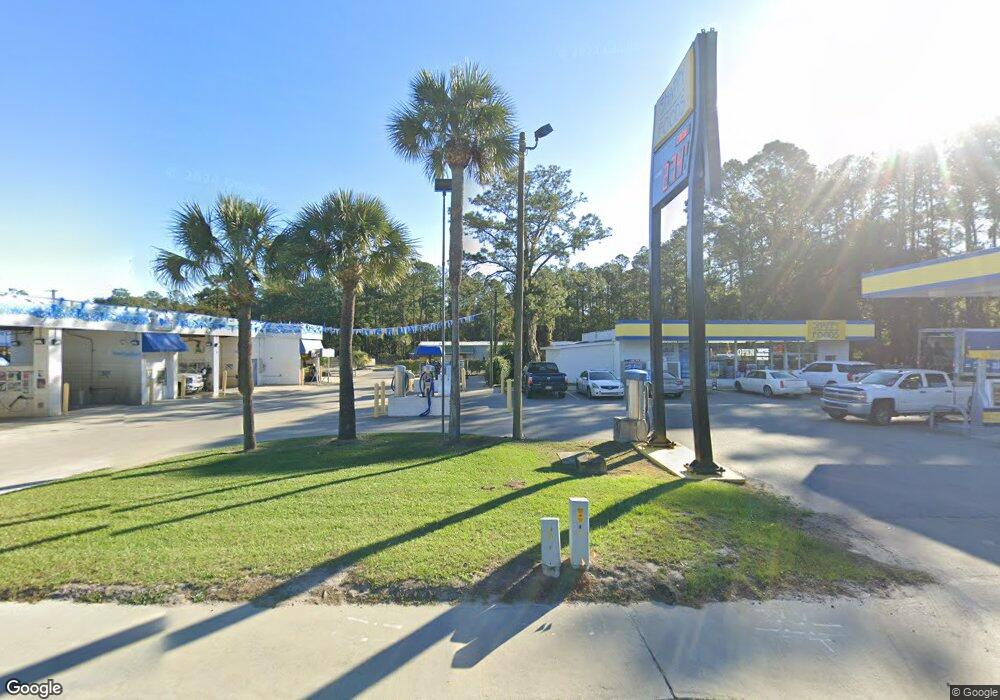
5170 Us Highway 17 Darien, GA 31305
Estimated Value: $491,903
--
Bed
--
Bath
9,860
Sq Ft
$50/Sq Ft
Est. Value
About This Home
This home is located at 5170 Us Highway 17, Darien, GA 31305 and is currently estimated at $491,903, approximately $49 per square foot. 5170 Us Highway 17 is a home located in McIntosh County with nearby schools including Todd Grant Elementary School, McIntosh County Middle School, and McIntosh County Academy.
Ownership History
Date
Name
Owned For
Owner Type
Purchase Details
Closed on
Feb 26, 2020
Sold by
Hill William E
Bought by
Weekend At Bernies Llc
Current Estimated Value
Home Financials for this Owner
Home Financials are based on the most recent Mortgage that was taken out on this home.
Original Mortgage
$240,000
Interest Rate
3.6%
Mortgage Type
Commercial
Purchase Details
Closed on
May 25, 2007
Sold by
Colson Daniel A
Bought by
Hill William E and Hill Cheryl L
Home Financials for this Owner
Home Financials are based on the most recent Mortgage that was taken out on this home.
Original Mortgage
$412,519
Interest Rate
6.16%
Purchase Details
Closed on
Jan 14, 2004
Sold by
Brasher Bill
Bought by
Colson Daniel A
Create a Home Valuation Report for This Property
The Home Valuation Report is an in-depth analysis detailing your home's value as well as a comparison with similar homes in the area
Home Values in the Area
Average Home Value in this Area
Purchase History
| Date | Buyer | Sale Price | Title Company |
|---|---|---|---|
| Weekend At Bernies Llc | $300,000 | -- | |
| Hill William E | $450,000 | -- | |
| Colson Daniel A | $160,000 | -- |
Source: Public Records
Mortgage History
| Date | Status | Borrower | Loan Amount |
|---|---|---|---|
| Closed | Weekend At Bernies Llc | $240,000 | |
| Previous Owner | Hill William E | $412,519 |
Source: Public Records
Tax History Compared to Growth
Tax History
| Year | Tax Paid | Tax Assessment Tax Assessment Total Assessment is a certain percentage of the fair market value that is determined by local assessors to be the total taxable value of land and additions on the property. | Land | Improvement |
|---|---|---|---|---|
| 2024 | $2,959 | $106,680 | $56,720 | $49,960 |
| 2023 | $3,033 | $108,960 | $56,720 | $52,240 |
| 2022 | $3,151 | $113,200 | $56,720 | $56,480 |
| 2021 | $3,272 | $117,528 | $56,720 | $60,808 |
| 2020 | $2,646 | $93,952 | $56,720 | $37,232 |
| 2019 | $2,452 | $92,256 | $54,640 | $37,616 |
| 2018 | $2,452 | $92,256 | $54,640 | $37,616 |
| 2017 | $2,377 | $89,456 | $51,840 | $37,616 |
| 2016 | $2,377 | $89,456 | $51,840 | $37,616 |
| 2015 | $2,053 | $77,103 | $51,870 | $25,233 |
| 2014 | -- | $77,103 | $51,870 | $25,233 |
Source: Public Records
Map
Nearby Homes
- 1225 Market St
- 282 Bridgewater Ln
- 102 Cathead Ln
- 135 Mohr Club Dr
- 111 Cathead Ln
- 309 Haven Dr
- 1015 Elbert St
- 1027 Ca Devillars Rd
- 1616 Ashantilly Dr
- 1606 Ashantilly Dr
- 1613 Ashantilly Dr
- 1005 Elbert St
- 0 Us Hwy 17 Unit 327199
- 0 Us Hwy 17 Unit 10476315
- 1048 Austin Place
- 2101 Black Rd
- 902 Old River Rd
- 1194 Redfish Dr SE
- 0 Franklin St Unit 142919
- vacant 8th St W
- 1098 Dunbar St SE
- 0 Hwy 251 (2 94 Acres)
- 1412 Dunbar St SE
- 1401 Dunbar St SE
- 16 Georgia 251
- 1832 N Us Highway 17
- 1414 Dunbar St SE
- 5302 Us Hwy 17
- 5302 Highway 17
- 1222 North Way
- 1416 Dunbar St SE
- 1813 North Way
- 1746 Redfish Dr SE
- 1740 Redfish Dr SE
- 1216 North Way
- 1710 Redfish Dr SE
- 1225 North Way
- 133 12th St W
- 1017 Sand St SE
- 1154 Dunbar St SE