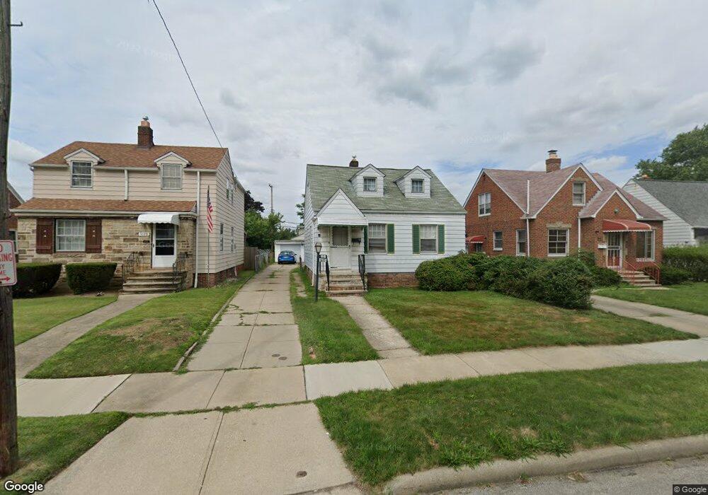
5172 Cato St Maple Heights, OH 44137
Estimated Value: $103,000 - $132,000
3
Beds
1
Bath
1,104
Sq Ft
$104/Sq Ft
Est. Value
About This Home
This home is located at 5172 Cato St, Maple Heights, OH 44137 and is currently estimated at $114,300, approximately $103 per square foot. 5172 Cato St is a home located in Cuyahoga County with nearby schools including Abraham Lincoln Elementary School, Rockside/ J.F. Kennedy School, and Barack Obama School.
Ownership History
Date
Name
Owned For
Owner Type
Purchase Details
Closed on
Jan 31, 2005
Sold by
Barle Michael John and Barle Marie Alice
Bought by
Barle Michael John and Barle Marie Alice
Current Estimated Value
Purchase Details
Closed on
Oct 27, 1987
Sold by
Zaharakos Steven A
Bought by
Barle Michael J
Purchase Details
Closed on
Jan 17, 1986
Sold by
Fiala Gerald J
Bought by
Zaharakos Steven A
Purchase Details
Closed on
Jun 19, 1985
Sold by
Fiala Mildred
Bought by
Fiala Gerald J
Purchase Details
Closed on
Jan 1, 1975
Bought by
Fiala Mildred
Create a Home Valuation Report for This Property
The Home Valuation Report is an in-depth analysis detailing your home's value as well as a comparison with similar homes in the area
Home Values in the Area
Average Home Value in this Area
Purchase History
| Date | Buyer | Sale Price | Title Company |
|---|---|---|---|
| Barle Michael John | -- | -- | |
| Barle Michael J | $49,300 | -- | |
| Zaharakos Steven A | $40,500 | -- | |
| Fiala Gerald J | -- | -- | |
| Fiala Mildred | -- | -- |
Source: Public Records
Tax History Compared to Growth
Tax History
| Year | Tax Paid | Tax Assessment Tax Assessment Total Assessment is a certain percentage of the fair market value that is determined by local assessors to be the total taxable value of land and additions on the property. | Land | Improvement |
|---|---|---|---|---|
| 2024 | $2,841 | $30,940 | $7,245 | $23,695 |
| 2023 | $2,133 | $19,570 | $4,380 | $15,190 |
| 2022 | $2,126 | $19,570 | $4,380 | $15,190 |
| 2021 | $2,263 | $19,570 | $4,380 | $15,190 |
| 2020 | $1,943 | $14,840 | $3,330 | $11,520 |
| 2019 | $1,931 | $42,400 | $9,500 | $32,900 |
| 2018 | $1,921 | $14,840 | $3,330 | $11,520 |
| 2017 | $1,811 | $13,510 | $3,080 | $10,430 |
| 2016 | $1,752 | $13,510 | $3,080 | $10,430 |
| 2015 | $1,745 | $13,510 | $3,080 | $10,430 |
| 2014 | $1,745 | $14,850 | $3,400 | $11,450 |
Source: Public Records
Map
Nearby Homes
- 5110 Philip Ave
- 5199 Arch St
- 5231 Philip Ave
- 5082 Philip Ave
- 5061 Philip Ave
- 5239 Arch St
- 5257 Philip Ave
- 5185 Clement Ave
- 5031 Cato St
- 5212 Catherine St
- 5208 Clement Ave
- 5234 Erwin St
- 5320 Clement Ave
- 17916 North Blvd
- 17912 North Blvd
- 5210 Theodore St
- 17204 Maple Heights Blvd
- 5265 Bellview St
- 5425 Grasmere Ave
- 16712 Kollin Ave