5174 Darby Cir Rochester, MI 48306
Estimated Value: $515,211 - $582,000
4
Beds
3
Baths
2,538
Sq Ft
$214/Sq Ft
Est. Value
About This Home
This home is located at 5174 Darby Cir, Rochester, MI 48306 and is currently estimated at $543,553, approximately $214 per square foot. 5174 Darby Cir is a home located in Oakland County with nearby schools including Hugger Elementary School, Hart Middle School, and Stoney Creek High School.
Ownership History
Date
Name
Owned For
Owner Type
Purchase Details
Closed on
Dec 6, 2022
Sold by
Zarantonello Robert M
Bought by
Zarantonello Family Trust
Current Estimated Value
Purchase Details
Closed on
Dec 30, 2009
Sold by
Zarantonello Robert M
Bought by
Zarantonello Robert M and Zarantonello Barbara L
Home Financials for this Owner
Home Financials are based on the most recent Mortgage that was taken out on this home.
Original Mortgage
$194,500
Interest Rate
4.78%
Mortgage Type
New Conventional
Purchase Details
Closed on
Jun 3, 1999
Sold by
Zarantonello Michelle S
Bought by
Zarantonello Robert M
Home Financials for this Owner
Home Financials are based on the most recent Mortgage that was taken out on this home.
Original Mortgage
$213,600
Interest Rate
8.21%
Purchase Details
Closed on
Feb 21, 1997
Sold by
Alexander Michael D
Bought by
Zarantonello Robert M
Create a Home Valuation Report for This Property
The Home Valuation Report is an in-depth analysis detailing your home's value as well as a comparison with similar homes in the area
Home Values in the Area
Average Home Value in this Area
Purchase History
| Date | Buyer | Sale Price | Title Company |
|---|---|---|---|
| Zarantonello Family Trust | -- | -- | |
| Zarantonello Robert M | -- | Embassy Title Agency | |
| Zarantonello Robert M | -- | -- | |
| Zarantonello Robert M | $229,900 | -- |
Source: Public Records
Mortgage History
| Date | Status | Borrower | Loan Amount |
|---|---|---|---|
| Previous Owner | Zarantonello Robert M | $194,500 | |
| Previous Owner | Zarantonello Robert M | $213,600 |
Source: Public Records
Tax History Compared to Growth
Tax History
| Year | Tax Paid | Tax Assessment Tax Assessment Total Assessment is a certain percentage of the fair market value that is determined by local assessors to be the total taxable value of land and additions on the property. | Land | Improvement |
|---|---|---|---|---|
| 2024 | $2,395 | $215,980 | $0 | $0 |
| 2023 | $2,303 | $190,140 | $0 | $0 |
| 2022 | $3,410 | $182,870 | $0 | $0 |
| 2021 | $3,179 | $174,030 | $0 | $0 |
| 2020 | $2,225 | $167,710 | $0 | $0 |
| 2019 | $3,356 | $159,100 | $0 | $0 |
| 2018 | $3,369 | $155,830 | $0 | $0 |
| 2017 | $3,317 | $155,290 | $0 | $0 |
| 2016 | $3,300 | $154,240 | $0 | $0 |
| 2015 | -- | $141,440 | $0 | $0 |
| 2014 | -- | $133,990 | $0 | $0 |
| 2011 | -- | $111,940 | $0 | $0 |
Source: Public Records
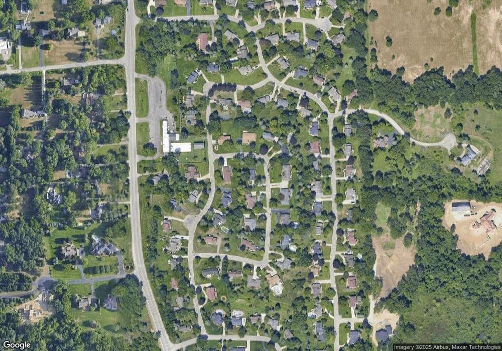
Map
Nearby Homes
- 5550 N Rochester Rd
- 6601 Rochester Rd
- 5300 Sheldon Rd
- 5772 N Rochester Rd
- 255 Camelot Way
- 4647 Applewood Ct
- 5925 Oakland Valley Dr
- 5540 Bostall Woods Dr
- 5962 Oakland Valley Dr
- 102 Oakland Crest Dr
- 630 Sheldon Ct
- 0000 Jendean Ln
- 4190 Derry Ct
- 6022 Orion Rd
- 3960 Harvest Creek Ct
- 1538 Linden Ct
- 6589 Orion Rd
- 5300 Old Mill Rd
- 861 Quarry
- 1600 Mill Race
- 5165 Glengate Rd
- 5188 Darby Cir
- 5187 Glengate Rd
- 5179 Darby Cir
- 5159 Darby Cir
- 5165 Darby Cir
- 5171 Darby Cir Unit Bldg-Unit
- 5171 Darby Cir
- 5196 Darby Cir
- 5151 Darby Cir
- 5205 Glengate Rd
- 5180 Aintree Rd
- 5195 Darby Cir
- 5170 Glengate Rd
- 5188 Aintree Rd
- 5172 Aintree Rd
- 5192 Glengate Rd
- 5107 Glengate Rd
- 5196 Aintree Rd
- 5204 Darby Cir