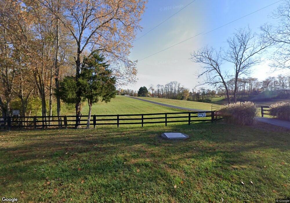
5174 Rocky Branch Rd Frankfort, KY 40601
Estimated Value: $367,000 - $469,000
--
Bed
--
Bath
--
Sq Ft
13.93
Acres
About This Home
This home is located at 5174 Rocky Branch Rd, Frankfort, KY 40601 and is currently estimated at $428,059. 5174 Rocky Branch Rd is a home located in Franklin County with nearby schools including Peaks Mill Elementary School, Elkhorn Middle School, and Franklin County High School.
Ownership History
Date
Name
Owned For
Owner Type
Purchase Details
Closed on
May 10, 2012
Sold by
Macdonald Jason P and Macdonald Shannon N
Bought by
Macdonald Jason P and Macdonald Shannon N
Current Estimated Value
Home Financials for this Owner
Home Financials are based on the most recent Mortgage that was taken out on this home.
Original Mortgage
$181,800
Outstanding Balance
$125,605
Interest Rate
3.84%
Mortgage Type
New Conventional
Estimated Equity
$302,454
Purchase Details
Closed on
Jun 30, 2011
Sold by
Barnes Eloise
Bought by
Macdonald Jason and Macdonald Shannon
Home Financials for this Owner
Home Financials are based on the most recent Mortgage that was taken out on this home.
Original Mortgage
$175,437
Interest Rate
4.75%
Mortgage Type
FHA
Create a Home Valuation Report for This Property
The Home Valuation Report is an in-depth analysis detailing your home's value as well as a comparison with similar homes in the area
Home Values in the Area
Average Home Value in this Area
Purchase History
| Date | Buyer | Sale Price | Title Company |
|---|---|---|---|
| Macdonald Jason P | -- | None Available | |
| Macdonald Jason | $180,000 | Capital Title Llc |
Source: Public Records
Mortgage History
| Date | Status | Borrower | Loan Amount |
|---|---|---|---|
| Open | Macdonald Jason P | $181,800 | |
| Closed | Macdonald Jason | $175,437 |
Source: Public Records
Tax History Compared to Growth
Tax History
| Year | Tax Paid | Tax Assessment Tax Assessment Total Assessment is a certain percentage of the fair market value that is determined by local assessors to be the total taxable value of land and additions on the property. | Land | Improvement |
|---|---|---|---|---|
| 2024 | $2,557 | $258,235 | $0 | $0 |
| 2023 | $2,532 | $258,235 | $0 | $0 |
| 2022 | $2,578 | $258,235 | $0 | $0 |
| 2021 | $2,557 | $258,235 | $0 | $0 |
| 2020 | $2,595 | $258,235 | $9,235 | $249,000 |
| 2019 | $2,649 | $258,235 | $9,235 | $249,000 |
| 2018 | $2,592 | $252,400 | $8,400 | $244,000 |
| 2017 | -- | $249,867 | $5,867 | $244,000 |
| 2016 | $2,429 | $249,867 | $5,867 | $244,000 |
| 2015 | $1,294 | $249,867 | $5,867 | $244,000 |
| 2011 | $1,294 | $163,668 | $8,668 | $155,000 |
Source: Public Records
Map
Nearby Homes
- 3 Lucas Ln
- 3 and 4 Lucas Ln
- 4 Lucas Ln
- 125 Covered Bridge Ln
- 3150 Jones Ln
- 0 Sulphur Lick Rd
- 1480 Colston Ln
- 40.559 AC Colston Ln
- Tract 1 Colston Ln
- Tract 2 Colston Ln
- Tract 3 Colston Ln
- 2630 Steadmantown Ln
- 799 Switzer Rd
- 363738 Union Ridge Rd
- 0 Union Ridge Rd
- 3600 Union Ridge Rd
- 200 Berkley Ln
- 2789 Steadmantown Ln
- 113 Livingston Ln
- 105 Berkley Ln
- 3282 Lucas Ln
- 5070 Rocky Branch Rd
- 3284 Lucas Ln
- 3283 Lucas Ln
- 5585 Rocky Branch Rd
- 6000 Rocky Branch Rd
- 5170 Rocky Branch Rd
- 5747 Rocky Branch Rd
- 0 Rocky Branch Rd
- 3288 Lucas Ln
- 2930 Lucas Ln Unit TRCT 3
- 2930 Lucas Ln Unit TRCT 2
- 2930 Lucas Ln
- 3500 Lucas Ln
- 3293 Lucas Ln
- 2901 Lucas Ln
- 4764 Rocky Branch Rd
- 4983 Rocky Branch Rd
- 5105 Rocky Branch Rd
- 4804 Rocky Branch Rd