5175 Hwy 258 S Deep Run, NC 28525
Estimated Value: $144,000 - $162,575
3
Beds
2
Baths
1,250
Sq Ft
$123/Sq Ft
Est. Value
About This Home
This home is located at 5175 Hwy 258 S, Deep Run, NC 28525 and is currently estimated at $153,894, approximately $123 per square foot. 5175 Hwy 258 S is a home located in Lenoir County with nearby schools including Pink Hill Elementary School, Woodington Middle School, and South Lenoir High School.
Ownership History
Date
Name
Owned For
Owner Type
Purchase Details
Closed on
Apr 30, 2025
Sold by
Garner Lisa and Garner Stephen
Bought by
Mccarson Marcus
Current Estimated Value
Home Financials for this Owner
Home Financials are based on the most recent Mortgage that was taken out on this home.
Original Mortgage
$152,192
Outstanding Balance
$151,519
Interest Rate
6.67%
Mortgage Type
FHA
Estimated Equity
$2,375
Purchase Details
Closed on
Mar 7, 2024
Sold by
Garner Lisa
Bought by
Garner Lisa and Garner Stephen
Create a Home Valuation Report for This Property
The Home Valuation Report is an in-depth analysis detailing your home's value as well as a comparison with similar homes in the area
Home Values in the Area
Average Home Value in this Area
Purchase History
| Date | Buyer | Sale Price | Title Company |
|---|---|---|---|
| Mccarson Marcus | $155,000 | None Listed On Document | |
| Mccarson Marcus | $155,000 | None Listed On Document | |
| Garner Lisa | -- | None Listed On Document |
Source: Public Records
Mortgage History
| Date | Status | Borrower | Loan Amount |
|---|---|---|---|
| Open | Mccarson Marcus | $152,192 |
Source: Public Records
Tax History Compared to Growth
Tax History
| Year | Tax Paid | Tax Assessment Tax Assessment Total Assessment is a certain percentage of the fair market value that is determined by local assessors to be the total taxable value of land and additions on the property. | Land | Improvement |
|---|---|---|---|---|
| 2025 | $978 | $133,942 | $15,904 | $118,038 |
| 2024 | $872 | $84,556 | $12,226 | $72,330 |
| 2023 | $855 | $84,556 | $12,226 | $72,330 |
| 2022 | $855 | $84,556 | $12,226 | $72,330 |
| 2021 | $855 | $84,556 | $12,226 | $72,330 |
| 2020 | $855 | $84,556 | $12,226 | $72,330 |
| 2019 | $855 | $84,556 | $12,226 | $72,330 |
| 2018 | $843 | $84,556 | $12,226 | $72,330 |
| 2017 | $841 | $84,556 | $12,226 | $72,330 |
| 2014 | $915 | $92,798 | $12,226 | $80,572 |
| 2013 | -- | $92,798 | $12,226 | $80,572 |
| 2011 | -- | $92,798 | $12,226 | $80,572 |
Source: Public Records
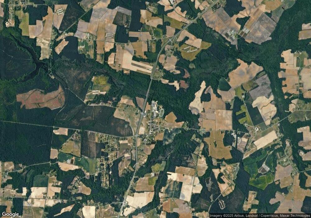
Map
Nearby Homes
- 5199 Hwy 258 S
- 46 Hwy 258 S
- 3292 Sargett Brown Rd
- 729 Tracy Rd
- 733 Tracy Rd
- 919 Albrittons Rd
- 2707 Nathan Hill Rd
- 2048 Town Crier Rd
- 1562 Patterson Rd
- 00 Patterson Rd Lot Unit WP001
- 2705 John Green Smith Rd
- 1760 Woodland Ave
- 1774 Walnut Run Dr
- 1787 Walnut Run Dr
- 414 Wheat St
- 1739 Cardinal Dr
- 1810 Hickerson Cir
- 270 Orange St
- 191 Jessie T Bryan Rd
- 563 Tyree Rd
- 5181 Hwy 258 S
- 5167 Hwy 258 S
- 5197 Hwy 258 S
- 3 Highway 258 S
- 149 Lightwood Knot Rd
- 159 Lightwood Knot Rd
- 5232 Hwy 258 S
- 5232 U S 258
- 142 Lightwood Knot Rd
- 152 Lightwood Knot Rd
- 171 Lightwood Knot Rd
- 180 Lightwood Knot Rd
- 201 Lightwood Knot Rd
- 146 Lightwood Knot Rd
- 200 Lightwood Knot Rd
- 185 Sandy Foundation Rd
- 262 Sandy Foundation Rd
- 4970 Hwy 258 S
- 283 Sandy Foundation Rd
- 4962 Us Highway 258 S