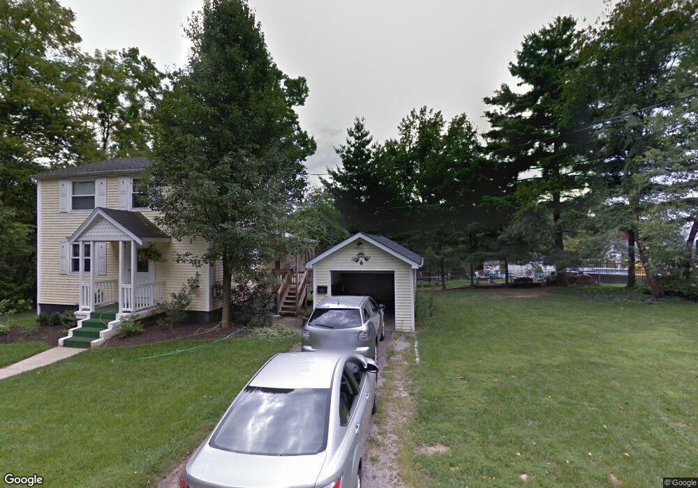
5179 Locust Ave Cincinnati, OH 45238
Central Delhi NeighborhoodEstimated Value: $195,000 - $217,000
3
Beds
1
Bath
1,548
Sq Ft
$131/Sq Ft
Est. Value
About This Home
This home is located at 5179 Locust Ave, Cincinnati, OH 45238 and is currently estimated at $202,047, approximately $130 per square foot. 5179 Locust Ave is a home located in Hamilton County with nearby schools including C.O. Harrison Elementary School, Rapid Run Middle School, and Oak Hills High School.
Ownership History
Date
Name
Owned For
Owner Type
Purchase Details
Closed on
Aug 14, 2003
Sold by
Lipps Gerard and Lipps Patricia S
Bought by
Sudberry Angel R
Current Estimated Value
Home Financials for this Owner
Home Financials are based on the most recent Mortgage that was taken out on this home.
Original Mortgage
$99,120
Outstanding Balance
$42,175
Interest Rate
5.62%
Mortgage Type
Unknown
Estimated Equity
$159,872
Create a Home Valuation Report for This Property
The Home Valuation Report is an in-depth analysis detailing your home's value as well as a comparison with similar homes in the area
Home Values in the Area
Average Home Value in this Area
Purchase History
| Date | Buyer | Sale Price | Title Company |
|---|---|---|---|
| Sudberry Angel R | $123,900 | -- |
Source: Public Records
Mortgage History
| Date | Status | Borrower | Loan Amount |
|---|---|---|---|
| Open | Sudberry Angel R | $99,120 |
Source: Public Records
Tax History
| Year | Tax Paid | Tax Assessment Tax Assessment Total Assessment is a certain percentage of the fair market value that is determined by local assessors to be the total taxable value of land and additions on the property. | Land | Improvement |
|---|---|---|---|---|
| 2025 | $2,762 | $46,575 | $7,791 | $38,784 |
| 2023 | $2,703 | $46,575 | $7,791 | $38,784 |
| 2022 | $2,015 | $30,892 | $6,479 | $24,413 |
| 2021 | $1,972 | $30,892 | $6,479 | $24,413 |
| 2020 | $2,007 | $30,892 | $6,479 | $24,413 |
| 2019 | $1,926 | $26,632 | $5,586 | $21,046 |
| 2018 | $1,928 | $26,632 | $5,586 | $21,046 |
| 2017 | $1,741 | $26,632 | $5,586 | $21,046 |
| 2016 | $1,838 | $28,172 | $5,411 | $22,761 |
| 2015 | $1,839 | $28,172 | $5,411 | $22,761 |
| 2014 | $1,842 | $28,172 | $5,411 | $22,761 |
| 2013 | $1,883 | $30,622 | $5,880 | $24,742 |
Source: Public Records
Map
Nearby Homes
- 1023 Woodbriar Ln
- 949 Anderson Ferry Rd
- 1063 Anderson Ferry Rd
- 5152 Highview Dr
- 5153 Dresden Ct
- 5274 Glen Creek Dr
- 1005 Covedale Ave
- 990 Covedale Ave
- 1092 Morado Dr
- 5018 Rapid Run Rd
- 1088 Morado Dr
- 1137 Covedale Ave
- 5140 Willnet Dr
- 5330 Plumridge Dr
- 5114 Cleves Warsaw Pike
- 5012 Garden Grove Ln
- 5019 Garden Grove Ln
- 621 Covedale Ave
- 1075 Coronado Ave
- 818 Genenbill Dr
- 990 Beechmeadow Ln
- 986 Beechmeadow Ln
- 1006 Beechmeadow Ln
- 980 Beechmeadow Ln
- 5180 Locust Ave
- 5174 Rapid Run Rd
- 974 Beechmeadow Ln
- 995 Beechmeadow Ln
- 5184 Rapid Run Rd
- 5176 Rapid Run Rd
- 991 Beechmeadow Ln
- 5190 Rapid Run Rd
- 1032 Beechmeadow Ln
- 987 Beechmeadow Ln
- 1005 Beechmeadow Ln
- 5196 Rapid Run Rd
- 983 Beechmeadow Ln
- 1011 Beechmeadow Ln
- 1 Locust Ave
- 1034 Beechmeadow Ln
Your Personal Tour Guide
Ask me questions while you tour the home.