518 Cobbs Bridge Rd New Gloucester, ME 04260
Estimated Value: $592,000 - $922,450
3
Beds
2
Baths
1,152
Sq Ft
$657/Sq Ft
Est. Value
About This Home
This home is located at 518 Cobbs Bridge Rd, New Gloucester, ME 04260 and is currently estimated at $757,225, approximately $657 per square foot. 518 Cobbs Bridge Rd is a home located in Cumberland County with nearby schools including Gray-New Gloucester High School.
Ownership History
Date
Name
Owned For
Owner Type
Purchase Details
Closed on
Dec 9, 2020
Sold by
Chandler-Nelson Amy B and Nelson Bartholemew
Bought by
Keneagy Todd and Keneagy Sandra
Current Estimated Value
Create a Home Valuation Report for This Property
The Home Valuation Report is an in-depth analysis detailing your home's value as well as a comparison with similar homes in the area
Home Values in the Area
Average Home Value in this Area
Purchase History
| Date | Buyer | Sale Price | Title Company |
|---|---|---|---|
| Keneagy Todd | -- | None Available |
Source: Public Records
Tax History Compared to Growth
Tax History
| Year | Tax Paid | Tax Assessment Tax Assessment Total Assessment is a certain percentage of the fair market value that is determined by local assessors to be the total taxable value of land and additions on the property. | Land | Improvement |
|---|---|---|---|---|
| 2025 | $9,546 | $617,064 | $142,431 | $474,633 |
| 2024 | $9,194 | $617,430 | $142,797 | $474,633 |
| 2023 | $8,843 | $618,849 | $144,216 | $474,633 |
| 2022 | $8,573 | $621,233 | $146,600 | $474,633 |
| 2021 | $8,578 | $621,591 | $146,958 | $474,633 |
| 2020 | $3,691 | $621,471 | $146,838 | $474,633 |
| 2019 | $0 | $399,700 | $77,600 | $322,100 |
| 2018 | $3,717 | $401,400 | $79,300 | $322,100 |
| 2017 | $6,248 | $400,500 | $78,400 | $322,100 |
| 2016 | $5,874 | $399,600 | $77,500 | $322,100 |
| 2015 | $5,801 | $396,000 | $73,900 | $322,100 |
| 2014 | $5,743 | $396,100 | $74,000 | $322,100 |
| 2013 | $4,725 | $351,300 | $73,900 | $277,400 |
Source: Public Records
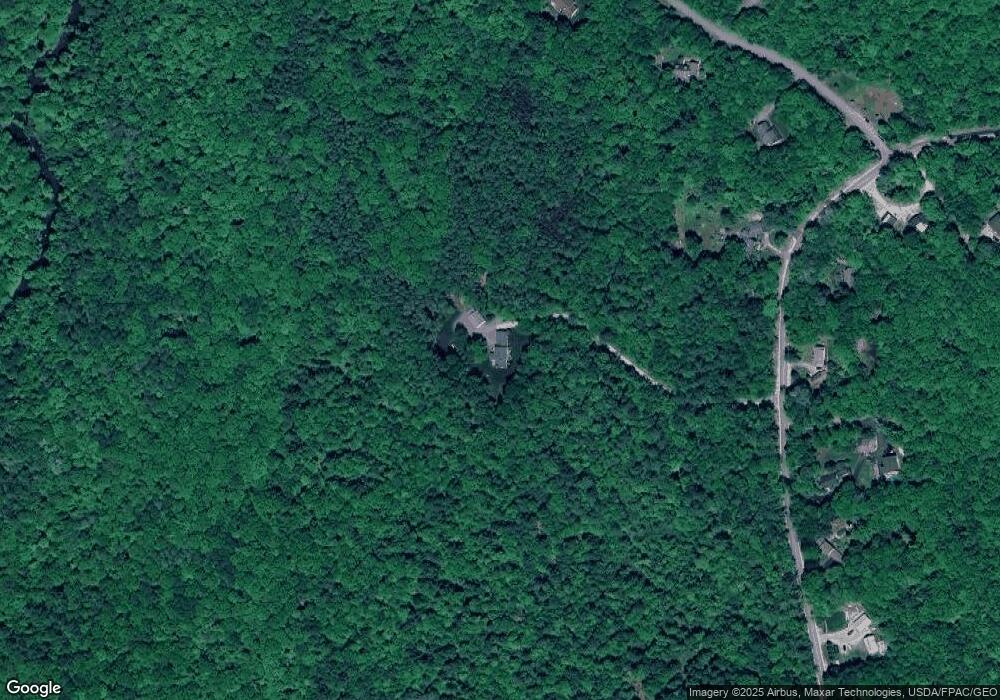
Map
Nearby Homes
- 12 Country Charm Ln
- 10-56 C&E Bowdoin Way
- 164 Intervale Rd
- 200 Woodman Rd
- 10 Cobbs Bridge Rd
- 832 Old Danville Rd
- 059-007 Soper's Mill Rd
- 160 Gloucester Hill Rd
- 10 Spring Valley Ln
- 16 Harvest Hill Ln Unit 2
- 22 Lantern Way Unit 23
- 114 Garden Cir
- 155 & 151 Gloucester Hill Rd
- 0018-C Gloucester Hill Rd
- 14 Harvest Hill Ln Unit 1
- 281 Old Danville Rd
- 17 Harmons Corner Rd
- 22 Shaw Rd
- 24 Swamp Rd
- 15 Country Club Dr
- 536 Cobbs Bridge Rd
- 525 Cobbs Bridge Rd
- 18 Rosewood Ln
- 24 Rosewood Ln
- 535 Cobbs Bridge Rd
- 14 Rosewood Ln
- 511 Cobbs Bridge Rd
- 501 Cobbs Bridge Rd
- Lot10 Rosewood
- Lot 10 Rosewood Ln
- Lot 6 Rosewood Ln
- 6 Rosewood Ln
- 4 Rosewood Ln
- Lot4 Rosewood Ln
- Lot # 4 Rosewood Ln
- Lot 4 Rosewood Ln
- 549 Cobbs Bridge Rd
- 3 Rosewood Ln
- Lot11 Rosewood
- Lot 11 L Rosewood Ln