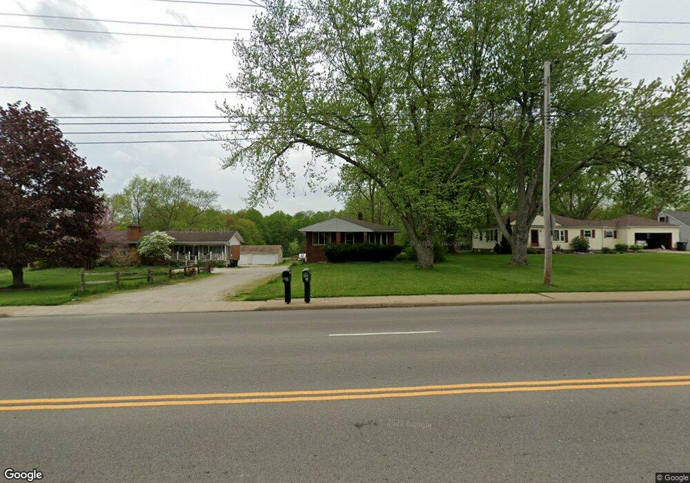
518 Darrow Rd Akron, OH 44305
Goodyear Heights NeighborhoodEstimated Value: $163,000 - $202,886
2
Beds
1
Bath
1,492
Sq Ft
$124/Sq Ft
Est. Value
About This Home
This home is located at 518 Darrow Rd, Akron, OH 44305 and is currently estimated at $184,972, approximately $123 per square foot. 518 Darrow Rd is a home located in Summit County with nearby schools including Ellet High School, Summit Academy Akron Elementary School, and Cornerstone Community School.
Ownership History
Date
Name
Owned For
Owner Type
Purchase Details
Closed on
Mar 11, 2016
Sold by
Smith Brian D
Bought by
Phillips John K and Phillips Patricia L
Current Estimated Value
Purchase Details
Closed on
Dec 5, 2007
Sold by
Smith Debra A
Bought by
Smith Brian D
Purchase Details
Closed on
Aug 19, 1996
Sold by
Raber Lee
Bought by
Smith Brian D and Smith Debra A
Home Financials for this Owner
Home Financials are based on the most recent Mortgage that was taken out on this home.
Original Mortgage
$90,360
Interest Rate
8.18%
Mortgage Type
New Conventional
Create a Home Valuation Report for This Property
The Home Valuation Report is an in-depth analysis detailing your home's value as well as a comparison with similar homes in the area
Home Values in the Area
Average Home Value in this Area
Purchase History
| Date | Buyer | Sale Price | Title Company |
|---|---|---|---|
| Phillips John K | $85,000 | Buckeye Reserve Title Agency | |
| Smith Brian D | -- | Attorney | |
| Smith Brian D | $100,400 | -- |
Source: Public Records
Mortgage History
| Date | Status | Borrower | Loan Amount |
|---|---|---|---|
| Previous Owner | Smith Brian D | $90,360 |
Source: Public Records
Tax History
| Year | Tax Paid | Tax Assessment Tax Assessment Total Assessment is a certain percentage of the fair market value that is determined by local assessors to be the total taxable value of land and additions on the property. | Land | Improvement |
|---|---|---|---|---|
| 2024 | $3,954 | $71,422 | $11,876 | $59,546 |
| 2023 | $3,455 | $71,422 | $11,876 | $59,546 |
| 2022 | $3,455 | $48,686 | $7,970 | $40,716 |
| 2021 | $3,458 | $48,686 | $7,970 | $40,716 |
| 2020 | $3,131 | $48,690 | $7,970 | $40,720 |
| 2019 | $1,566 | $41,200 | $11,280 | $29,920 |
| 2018 | $3,091 | $41,200 | $11,280 | $29,920 |
| 2017 | $3,081 | $41,200 | $11,280 | $29,920 |
| 2016 | $3,081 | $41,200 | $11,280 | $29,920 |
| 2015 | $3,081 | $41,200 | $11,280 | $29,920 |
| 2014 | $3,057 | $41,200 | $11,280 | $29,920 |
| 2013 | $3,261 | $41,260 | $11,280 | $29,980 |
Source: Public Records
Map
Nearby Homes
- 565 Teddy Ave
- 2360 Savoy Ave
- 439 Larkin Ave
- 517 Parkside Ln Unit H22
- 155 Waterford Way Unit 45
- 159 Waterford Way Unit 44
- 425 Frazier Ave
- 365 Larkin Ave
- 349/351, 353/355 Cluster Ave
- 1991-1993 Congo St
- 462 Pickwick Ln
- 295 Goodview Ave
- 434 Carruthers Rd
- 291 Malacca St
- 1128 Grovewood Dr
- 248 Malacca St
- 420 Tammery Dr
- 2382 Mogadore Rd
- 465 Saint Leger Ave
- 1605 Multnoma Ave
Your Personal Tour Guide
Ask me questions while you tour the home.