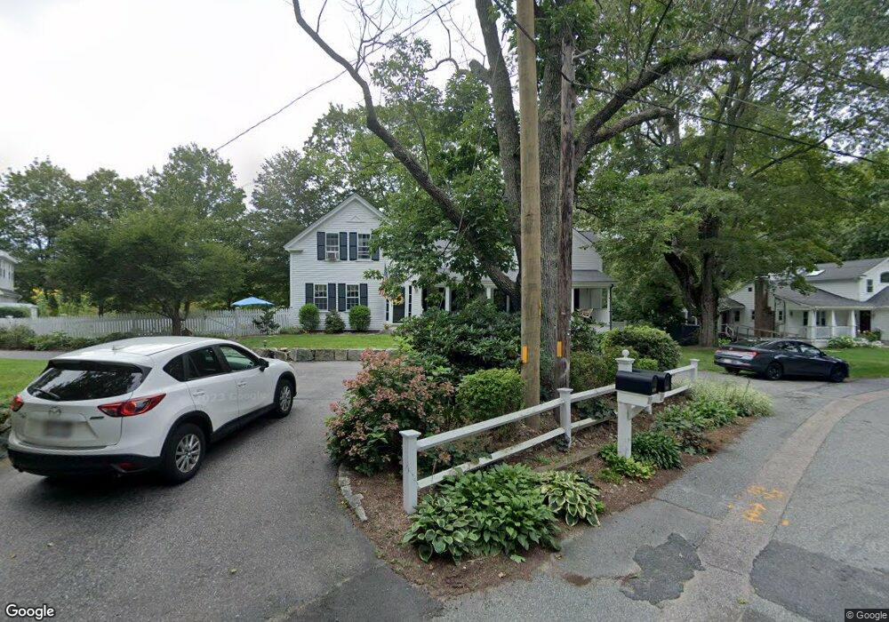
518 Elm Rd Walpole, MA 02081
Estimated Value: $1,038,000 - $1,218,000
4
Beds
3
Baths
2,893
Sq Ft
$384/Sq Ft
Est. Value
About This Home
This home is located at 518 Elm Rd, Walpole, MA 02081 and is currently estimated at $1,111,712, approximately $384 per square foot. 518 Elm Rd is a home located in Norfolk County with nearby schools including Elm Street School, Eleanor N. Johnson Middle School, and Walpole High School.
Ownership History
Date
Name
Owned For
Owner Type
Purchase Details
Closed on
Nov 14, 1997
Sold by
Berndt Beth L
Bought by
Foster Stephen D and Foster Deborah A
Current Estimated Value
Purchase Details
Closed on
Mar 30, 1995
Sold by
Caplis Thomas W and Caplis Margaret E
Bought by
Berndt Beth L
Create a Home Valuation Report for This Property
The Home Valuation Report is an in-depth analysis detailing your home's value as well as a comparison with similar homes in the area
Home Values in the Area
Average Home Value in this Area
Purchase History
| Date | Buyer | Sale Price | Title Company |
|---|---|---|---|
| Foster Stephen D | $283,000 | -- | |
| Berndt Beth L | $269,900 | -- |
Source: Public Records
Mortgage History
| Date | Status | Borrower | Loan Amount |
|---|---|---|---|
| Open | Berndt Beth L | $282,000 | |
| Closed | Berndt Beth L | $319,500 |
Source: Public Records
Tax History
| Year | Tax Paid | Tax Assessment Tax Assessment Total Assessment is a certain percentage of the fair market value that is determined by local assessors to be the total taxable value of land and additions on the property. | Land | Improvement |
|---|---|---|---|---|
| 2025 | $11,901 | $927,600 | $376,200 | $551,400 |
| 2024 | $11,536 | $872,600 | $362,600 | $510,000 |
| 2023 | $11,036 | $794,500 | $316,400 | $478,100 |
| 2022 | $10,365 | $716,800 | $292,100 | $424,700 |
| 2021 | $9,880 | $665,800 | $274,900 | $390,900 |
| 2020 | $9,588 | $639,600 | $260,400 | $379,200 |
| 2019 | $9,262 | $613,400 | $251,800 | $361,600 |
| 2018 | $9,119 | $597,200 | $240,800 | $356,400 |
| 2017 | $8,891 | $580,000 | $232,300 | $347,700 |
| 2016 | $8,396 | $539,600 | $226,300 | $313,300 |
| 2015 | $9,028 | $575,000 | $230,300 | $344,700 |
| 2014 | $7,949 | $504,400 | $230,300 | $274,100 |
Source: Public Records
Map
Nearby Homes
- 260 Elm St
- 115 High St
- 26 Drake Cir
- 20 Forrest Rd
- 19 and 23 Arlington Ln
- 31 Sandtrap Cir Unit 500
- 881 Main St Unit 9
- 10 Sandtrap Cir Unit 2
- 25 Sandtrap Cir Unit 8
- 29 Sandtrap Cir Unit 6
- 27 Sandtrap Cir Unit 7
- 21 Sandtrap Cir Unit 10
- 23 Sandtrap Cir Unit 9
- 27 Sandtrip Cir Unit 7
- 6 Litchfields Way
- 13 Sandtrap Cir Unit 14
- 11 Sandtrap Cir Unit 15
- 20 Sandtrap Cir Unit 4
- 19 Sandtrap Cir Unit 11
- 14 Weathervane Dr Unit 22
Your Personal Tour Guide
Ask me questions while you tour the home.