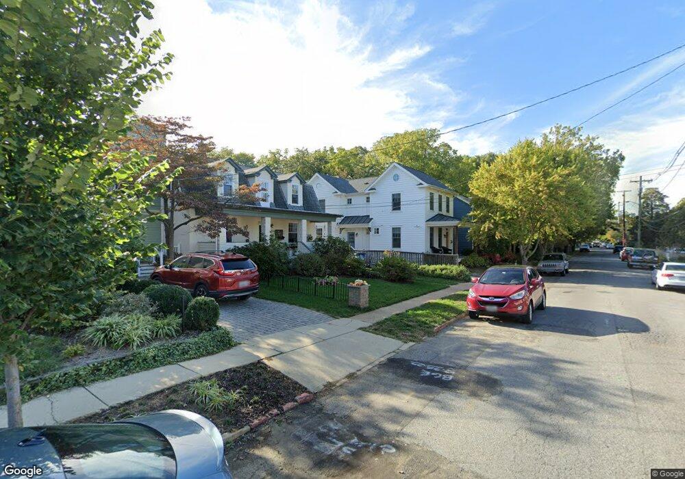
518 First St Annapolis, MD 21403
Eastport NeighborhoodEstimated Value: $1,469,000 - $1,904,000
Studio
1
Bath
2,516
Sq Ft
$675/Sq Ft
Est. Value
About This Home
This home is located at 518 First St, Annapolis, MD 21403 and is currently estimated at $1,698,669, approximately $675 per square foot. 518 First St is a home located in Anne Arundel County with nearby schools including Eastport Elementary School, Annapolis Middle School, and Annapolis High School.
Ownership History
Date
Name
Owned For
Owner Type
Purchase Details
Closed on
Jul 2, 2015
Sold by
Garrity Richard A and Garrity Richard A
Bought by
Garrity Christopher J and Garrity Neilye L
Current Estimated Value
Home Financials for this Owner
Home Financials are based on the most recent Mortgage that was taken out on this home.
Original Mortgage
$534,400
Interest Rate
3.25%
Mortgage Type
Adjustable Rate Mortgage/ARM
Purchase Details
Closed on
Feb 24, 2012
Sold by
Garrity Richard A
Bought by
Garrity Richard A and Garrity Jill I
Create a Home Valuation Report for This Property
The Home Valuation Report is an in-depth analysis detailing your home's value as well as a comparison with similar homes in the area
Home Values in the Area
Average Home Value in this Area
Purchase History
| Date | Buyer | Sale Price | Title Company |
|---|---|---|---|
| Garrity Christopher J | -- | Mid Maryland Title Co Inc | |
| Garrity Richard A | -- | None Available |
Source: Public Records
Mortgage History
| Date | Status | Borrower | Loan Amount |
|---|---|---|---|
| Closed | Garrity Christopher J | $534,400 |
Source: Public Records
Tax History
| Year | Tax Paid | Tax Assessment Tax Assessment Total Assessment is a certain percentage of the fair market value that is determined by local assessors to be the total taxable value of land and additions on the property. | Land | Improvement |
|---|---|---|---|---|
| 2025 | $15,288 | $1,320,600 | -- | -- |
| 2024 | $15,288 | $1,158,700 | $0 | $0 |
| 2023 | $14,314 | $996,800 | $530,200 | $466,600 |
| 2022 | $13,812 | $980,300 | $0 | $0 |
| 2021 | $13,357 | $963,800 | $0 | $0 |
| 2020 | $13,357 | $947,300 | $501,800 | $445,500 |
| 2019 | $13,366 | $947,300 | $501,800 | $445,500 |
| 2018 | $13,177 | $947,300 | $501,800 | $445,500 |
| 2017 | $12,758 | $977,600 | $0 | $0 |
| 2016 | -- | $459,067 | $0 | $0 |
| 2015 | -- | $462,200 | $0 | $0 |
| 2014 | -- | $405,500 | $0 | $0 |
Source: Public Records
Map
Nearby Homes
- 513 Horn Point Dr
- 120 Chesapeake Ave
- 200 Chesapeake Ave
- 320 Chester Ave
- 312 Severn Ave
- 312 Severn Ave Unit W-401
- 312 Severn Ave
- 400 Chesapeake Ave Unit 2-101
- 301 Burnside St
- 3 Klakring Ct
- 289 State St Unit 4
- 287 State St Unit 2
- 7101 Bay Front Dr Unit 204
- 7101 Bay Front Dr Unit 301
- 9 Shipwright St
- 1 Shipwright Harbor
- 179 Green St
- 2010 Quay Village Ct Unit 201
- 2010 Quay Village Ct Unit 101
- 165 King George St
Your Personal Tour Guide
Ask me questions while you tour the home.