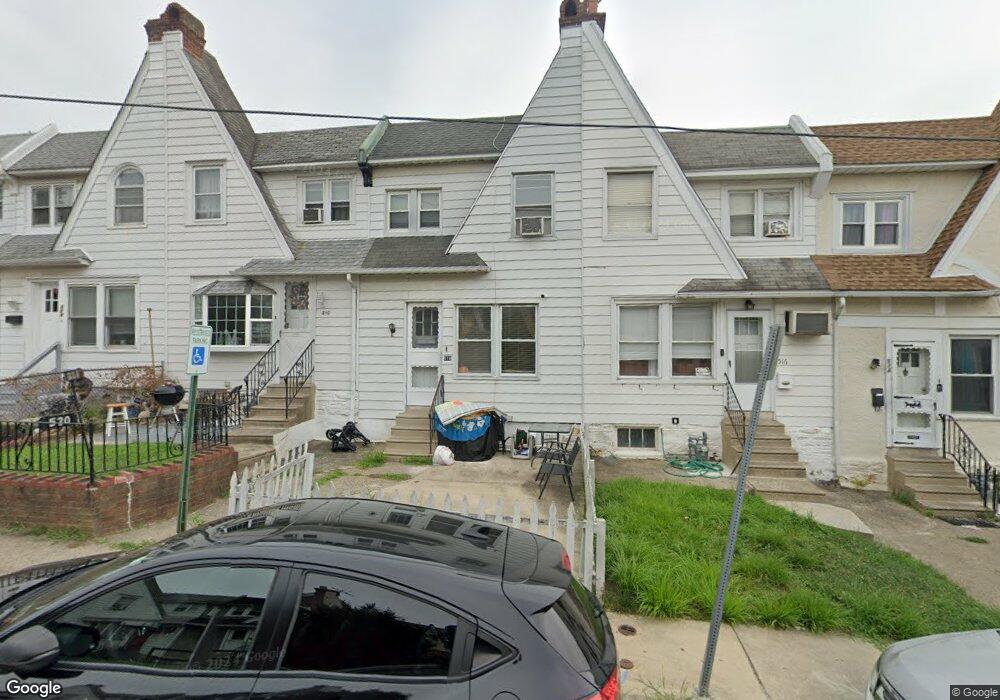
518 Glendale Rd Upper Darby, PA 19082
Estimated Value: $161,000 - $202,000
4
Beds
1
Bath
1,204
Sq Ft
$154/Sq Ft
Est. Value
About This Home
This home is located at 518 Glendale Rd, Upper Darby, PA 19082 and is currently estimated at $185,000, approximately $153 per square foot. 518 Glendale Rd is a home located in Delaware County with nearby schools including Upper Darby Kdg Center, Upper Darby High School, and Lansdowne Friends School.
Ownership History
Date
Name
Owned For
Owner Type
Purchase Details
Closed on
Nov 24, 2015
Sold by
Maddock Real Estate Llc
Bought by
M & C Group Llc
Current Estimated Value
Home Financials for this Owner
Home Financials are based on the most recent Mortgage that was taken out on this home.
Original Mortgage
$700,000
Interest Rate
3.77%
Mortgage Type
Purchase Money Mortgage
Purchase Details
Closed on
Dec 11, 2002
Sold by
Holmes W Henry
Bought by
Maddock Real Estate Llc
Purchase Details
Closed on
Feb 21, 2002
Sold by
Quartapella Kathleen M
Bought by
Holmes W Henry
Home Financials for this Owner
Home Financials are based on the most recent Mortgage that was taken out on this home.
Original Mortgage
$45,000
Interest Rate
7.08%
Purchase Details
Closed on
Nov 30, 1995
Sold by
Quartapella Kathleen M and Beck John J
Bought by
Quartapella Kathleen M
Create a Home Valuation Report for This Property
The Home Valuation Report is an in-depth analysis detailing your home's value as well as a comparison with similar homes in the area
Home Values in the Area
Average Home Value in this Area
Purchase History
| Date | Buyer | Sale Price | Title Company |
|---|---|---|---|
| M & C Group Llc | $135,000 | None Available | |
| Maddock Real Estate Llc | $49,875 | Commonwealth Land Title Insu | |
| Holmes W Henry | $50,000 | T A Title Insurance Co | |
| Quartapella Kathleen M | -- | Commonwealth Land Title Ins |
Source: Public Records
Mortgage History
| Date | Status | Borrower | Loan Amount |
|---|---|---|---|
| Closed | M & C Group Llc | $700,000 | |
| Previous Owner | Holmes W Henry | $45,000 |
Source: Public Records
Tax History
| Year | Tax Paid | Tax Assessment Tax Assessment Total Assessment is a certain percentage of the fair market value that is determined by local assessors to be the total taxable value of land and additions on the property. | Land | Improvement |
|---|---|---|---|---|
| 2025 | $2,001 | $47,320 | $13,320 | $34,000 |
| 2024 | $2,001 | $47,320 | $13,320 | $34,000 |
| 2023 | $2,920 | $69,700 | $13,570 | $56,130 |
| 2022 | $2,841 | $69,700 | $13,570 | $56,130 |
| 2021 | $3,831 | $69,700 | $13,570 | $56,130 |
| 2020 | $2,135 | $33,000 | $12,740 | $20,260 |
| 2019 | $2,097 | $33,000 | $12,740 | $20,260 |
| 2018 | $2,073 | $33,000 | $0 | $0 |
| 2017 | $2,019 | $33,000 | $0 | $0 |
| 2016 | $181 | $33,000 | $0 | $0 |
| 2015 | $185 | $33,000 | $0 | $0 |
| 2014 | $181 | $33,000 | $0 | $0 |
Source: Public Records
Map
Nearby Homes
- 346 Long Ln
- 418 Hampden Rd
- 418 Littlecroft Rd Unit 6A
- 513 Woodcliffe Rd
- 424 Woodcliffe Rd
- 337 Copley Rd
- 641 Copley Rd
- 7273 Guilford Rd
- 91 Lamport Rd
- 43 Springton Rd
- 6997 Guilford Rd
- 540 Snowden Rd
- 279 Copley Rd
- 7210 Spruce St
- 7261 Calvin Rd
- 7218 Radbourne Rd
- 7265 Calvin Rd
- 7042 Clinton Rd
- 243 Coverly Rd
- 247 Coverly Rd
- 538 Glendale Rd
- 534 Glendale Rd
- 532 Glendale Rd
- 530 Glendale Rd
- 528 Glendale Rd
- 526 Glendale Rd
- 522 Glendale Rd
- 520 Glendale Rd
- 516 Glendale Rd
- 514 Glendale Rd
- 512 Glendale Rd
- 508 Glendale Rd
- 506 Glendale Rd
- 504 Glendale Rd
- 502 Glendale Rd
- 524 Glendale Rd
- 337 Long Ln
- 510 Glendale Rd
- 529 Glendale Rd
- 525 Glendale Rd
Your Personal Tour Guide
Ask me questions while you tour the home.