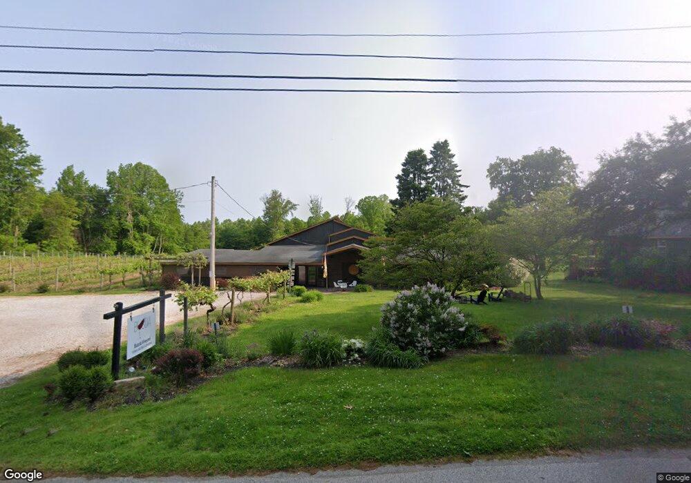
518 Gore Rd Conneaut, OH 44030
Kingsville NeighborhoodEstimated Value: $297,000 - $342,536
4
Beds
2
Baths
5,252
Sq Ft
$62/Sq Ft
Est. Value
About This Home
This home is located at 518 Gore Rd, Conneaut, OH 44030 and is currently estimated at $323,845, approximately $61 per square foot. 518 Gore Rd is a home located in Ashtabula County with nearby schools including Lakeshore Primary Elementary School, Gateway Elementary School, and Conneaut Middle School.
Ownership History
Date
Name
Owned For
Owner Type
Purchase Details
Closed on
Nov 27, 2017
Sold by
Bucci Alfred J and Bucci Joanna L
Bought by
Holden William P and Holden Melissa E
Current Estimated Value
Home Financials for this Owner
Home Financials are based on the most recent Mortgage that was taken out on this home.
Original Mortgage
$105,000
Outstanding Balance
$88,263
Interest Rate
3.88%
Mortgage Type
Future Advance Clause Open End Mortgage
Estimated Equity
$235,582
Create a Home Valuation Report for This Property
The Home Valuation Report is an in-depth analysis detailing your home's value as well as a comparison with similar homes in the area
Home Values in the Area
Average Home Value in this Area
Purchase History
| Date | Buyer | Sale Price | Title Company |
|---|---|---|---|
| Holden William P | $225,000 | Chicago Title Agency |
Source: Public Records
Mortgage History
| Date | Status | Borrower | Loan Amount |
|---|---|---|---|
| Open | Holden William P | $105,000 |
Source: Public Records
Tax History Compared to Growth
Tax History
| Year | Tax Paid | Tax Assessment Tax Assessment Total Assessment is a certain percentage of the fair market value that is determined by local assessors to be the total taxable value of land and additions on the property. | Land | Improvement |
|---|---|---|---|---|
| 2024 | $7,099 | $111,130 | $26,080 | $85,050 |
| 2023 | $4,576 | $111,130 | $26,080 | $85,050 |
| 2022 | $4,543 | $95,660 | $20,060 | $75,600 |
| 2021 | $4,621 | $95,660 | $20,060 | $75,600 |
| 2020 | $4,409 | $91,810 | $20,060 | $71,750 |
| 2019 | $4,361 | $82,920 | $22,680 | $60,240 |
| 2018 | $4,161 | $82,920 | $22,680 | $60,240 |
| 2017 | $3,693 | $82,920 | $22,680 | $60,240 |
| 2016 | $3,204 | $77,630 | $20,230 | $57,400 |
| 2015 | $3,236 | $77,630 | $20,230 | $57,400 |
| 2014 | $2,520 | $77,630 | $20,230 | $57,400 |
| 2013 | $1,499 | $54,080 | $12,220 | $41,860 |
Source: Public Records
Map
Nearby Homes
- 106 Margor Dr
- 40 Oakland Blvd
- 531 W Main Rd
- 4377 E Center St
- 4017 Lake Rd Unit 17
- 3988 Lake Rd
- 7842 Cleveland Dr
- 1300 Lake Rd
- 202 W Main Rd Unit 49
- 202 W Main Rd Unit Lot 150
- 202 W Main Rd Unit 33
- 202 W Main Rd Unit 16
- 0 Creek Rd Unit 5146859
- 210 W Main Rd
- 220 Daniels Ave
- 57 Eaton Dr
- 2663 Lake Rd
- 7032 Reed Rd
- 1150 Lake Rd
- 1145 Lake Rd