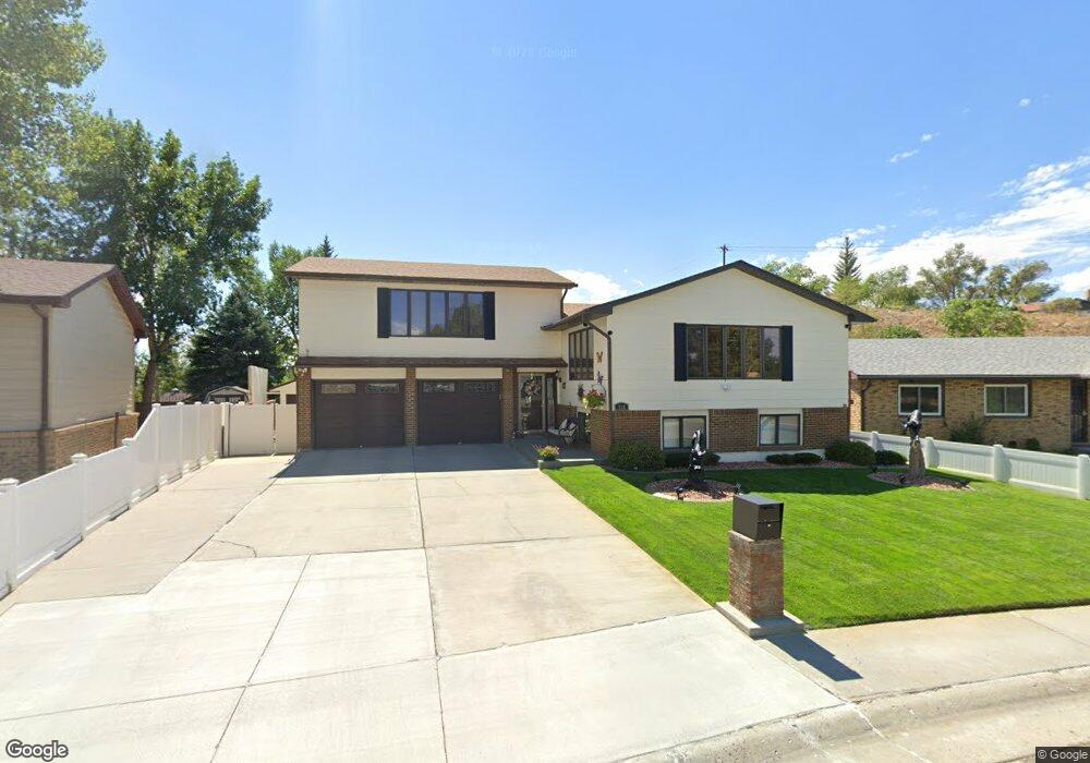
518 Lewis St Rock Springs, WY 82901
Estimated Value: $342,000 - $346,000
3
Beds
2
Baths
2,554
Sq Ft
$134/Sq Ft
Est. Value
About This Home
This home is located at 518 Lewis St, Rock Springs, WY 82901 and is currently estimated at $343,477, approximately $134 per square foot. 518 Lewis St is a home located in Sweetwater County with nearby schools including Rock Springs Junior High School, Rock Springs High School, and Holy Spirit Catholic School.
Ownership History
Date
Name
Owned For
Owner Type
Purchase Details
Closed on
Oct 15, 2024
Sold by
Durant Douglas and Durant Julie
Bought by
Mckeever Katelyn and Durrans Lance
Current Estimated Value
Home Financials for this Owner
Home Financials are based on the most recent Mortgage that was taken out on this home.
Original Mortgage
$336,688
Outstanding Balance
$333,148
Interest Rate
6.35%
Mortgage Type
FHA
Estimated Equity
$10,329
Create a Home Valuation Report for This Property
The Home Valuation Report is an in-depth analysis detailing your home's value as well as a comparison with similar homes in the area
Home Values in the Area
Average Home Value in this Area
Purchase History
| Date | Buyer | Sale Price | Title Company |
|---|---|---|---|
| Mckeever Katelyn | -- | None Listed On Document | |
| Mckeever Katelyn | -- | None Listed On Document |
Source: Public Records
Mortgage History
| Date | Status | Borrower | Loan Amount |
|---|---|---|---|
| Open | Mckeever Katelyn | $336,688 | |
| Closed | Mckeever Katelyn | $336,688 |
Source: Public Records
Tax History Compared to Growth
Tax History
| Year | Tax Paid | Tax Assessment Tax Assessment Total Assessment is a certain percentage of the fair market value that is determined by local assessors to be the total taxable value of land and additions on the property. | Land | Improvement |
|---|---|---|---|---|
| 2025 | $2,389 | $26,852 | $2,850 | $24,002 |
| 2024 | $2,389 | $32,312 | $3,800 | $28,512 |
| 2023 | $2,260 | $31,215 | $3,800 | $27,415 |
| 2022 | $2,273 | $31,110 | $3,800 | $27,310 |
| 2021 | $2,303 | $31,430 | $3,800 | $27,630 |
| 2020 | $2,245 | $30,671 | $3,800 | $26,871 |
| 2019 | $2,194 | $30,209 | $3,800 | $26,409 |
| 2018 | $2,113 | $29,027 | $3,800 | $25,227 |
| 2017 | $2,098 | $28,705 | $3,800 | $24,905 |
| 2015 | -- | $29,034 | $0 | $0 |
| 2014 | -- | $27,324 | $0 | $0 |
Source: Public Records
Map
Nearby Homes
- 506 R St
- 416 R St
- 413 Hay St
- 1210 Mccabe St
- 1805 Carson St
- 1408 Collins St
- 220 Liberty St
- 206 R St
- 1104 New Hampshire St
- 1525 Edgar St
- 1545 Edgar St
- 804 Connecticut Ave
- 922 New Hampshire St
- 820 Connecticut Ave
- 740 Rhode Island Ave
- 1109 Edgar St
- 1116 Wyoming St
- 1820 Collins St
- 230 Jade St
- 2030 Carson St
- 522 Lewis St
- 514 Lewis St
- 514 Lewis St Unit Thorpe
- 513 Fremont Cir
- 526 Lewis St
- 518 Ashley St
- 510 Lewis St
- 509 Lewis St
- 511 Fremont Cir
- 511 Fremont Cir Unit Fremont Avenue
- 530 Lewis St
- 515 Fremont Cir
- 506 Lewis St
- 506 Lewis St Unit Thorpe
- 505 Lewis St
- 505 Lewis St Unit Thorpe St
- 514 Ashley St
- 522 R St
- 514 R St
- 517 Lewis St