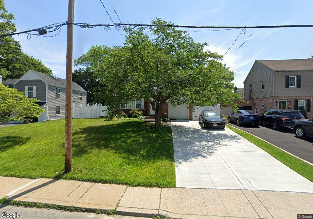
518 N Brookside Ave Freeport, NY 11520
Estimated Value: $610,771 - $681,000
--
Bed
2
Baths
1,863
Sq Ft
$347/Sq Ft
Est. Value
About This Home
This home is located at 518 N Brookside Ave, Freeport, NY 11520 and is currently estimated at $645,886, approximately $346 per square foot. 518 N Brookside Ave is a home located in Nassau County with nearby schools including Baldwin Senior High School and Roosevelt Children's Academy.
Ownership History
Date
Name
Owned For
Owner Type
Purchase Details
Closed on
Feb 28, 2025
Sold by
Ferdinand Aschelle
Bought by
Ferdinand Aschelle and Knights Ferdinand Living Trust
Current Estimated Value
Purchase Details
Closed on
Aug 28, 1998
Sold by
Wilstine Funding Corp
Bought by
Ferdinad Cyprian and Ferdinad Aschelle
Purchase Details
Closed on
Dec 13, 1996
Sold by
Oci Mortgage Corp
Bought by
Wilshire Funding Corp
Purchase Details
Closed on
May 22, 1996
Create a Home Valuation Report for This Property
The Home Valuation Report is an in-depth analysis detailing your home's value as well as a comparison with similar homes in the area
Home Values in the Area
Average Home Value in this Area
Purchase History
| Date | Buyer | Sale Price | Title Company |
|---|---|---|---|
| Ferdinand Aschelle | -- | None Available | |
| Ferdinand Aschelle | -- | None Available | |
| Ferdinad Cyprian | $160,500 | -- | |
| Ferdinad Cyprian | $160,500 | -- | |
| Wilshire Funding Corp | $101,740 | -- | |
| Wilshire Funding Corp | $101,740 | -- | |
| -- | $116,000 | -- | |
| -- | $116,000 | -- |
Source: Public Records
Tax History Compared to Growth
Tax History
| Year | Tax Paid | Tax Assessment Tax Assessment Total Assessment is a certain percentage of the fair market value that is determined by local assessors to be the total taxable value of land and additions on the property. | Land | Improvement |
|---|---|---|---|---|
| 2025 | $11,026 | $442 | $146 | $296 |
| 2024 | $995 | $442 | $146 | $296 |
| 2023 | $10,870 | $442 | $146 | $296 |
| 2022 | $11,120 | $442 | $146 | $296 |
| 2021 | $9,939 | $429 | $142 | $287 |
| 2020 | $9,939 | $714 | $424 | $290 |
| 2019 | $9,784 | $714 | $424 | $290 |
| 2018 | $9,144 | $714 | $0 | $0 |
| 2017 | $7,096 | $714 | $424 | $290 |
| 2016 | $8,168 | $714 | $424 | $290 |
| 2015 | $1,031 | $714 | $424 | $290 |
| 2014 | $1,031 | $714 | $424 | $290 |
| 2013 | $974 | $714 | $424 | $290 |
Source: Public Records
Map
Nearby Homes
- 319 Maryland Ave
- 156 Brookside Ave
- 396 Maryland Ave
- 1014 Kings Pkwy
- 3 Maple Dr
- 1515 Paul St
- 1009 Centennial Ave
- 915 Wallace Ave
- 1459 Prince St
- 242 W Centennial Ave
- 187 Moore Ave
- 1476 Kingston Ave
- 174 Delaware Ave
- 1020 Henhawk Rd
- 7 Mayfair Rd
- 1426 Forest Ave
- 152 Evans Ave
- 1 Willowbrook Ln
- 1535 Mattison St
- 31 Cedar St
- 514 N Brookside Ave
- 548 N Brookside Ave
- 362 Maryland Ave
- 510 N Brookside Ave
- 370 Maryland Ave
- 550 N Brookside Ave
- 358 Maryland Ave
- 127 Brookside Ave
- 129 Brookside Ave
- 135 Brookside Ave
- 506 N Brookside Ave
- 552 N Brookside Ave
- 1 W Forest Ave
- 1 W Forest Ave
- 350 Maryland Ave
- 504 N Brookside Ave
- 349 Maryland Ave
- 2 W Forest Ave
- 353 Maryland Ave
- 523 N Brookside Ave