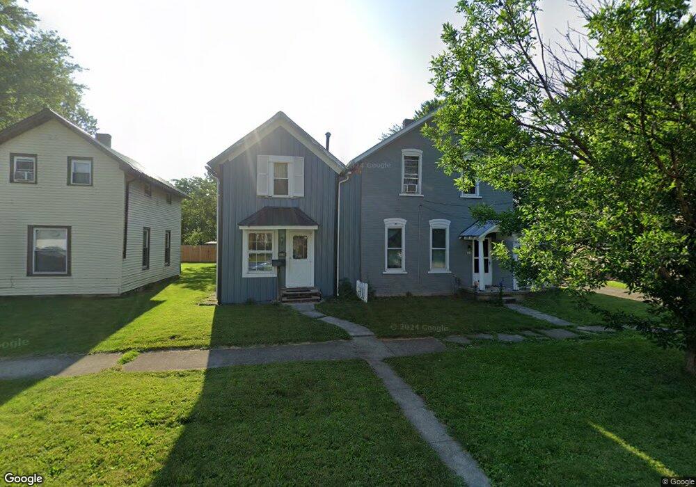
518 N Poplar St Fostoria, OH 44830
Estimated Value: $76,000 - $90,000
2
Beds
1
Bath
690
Sq Ft
$119/Sq Ft
Est. Value
About This Home
This home is located at 518 N Poplar St, Fostoria, OH 44830 and is currently estimated at $81,994, approximately $118 per square foot. 518 N Poplar St is a home with nearby schools including Fostoria Intermediate Elementary School and Fostoria Junior/Senior High School.
Ownership History
Date
Name
Owned For
Owner Type
Purchase Details
Closed on
Sep 4, 2008
Sold by
Holman Terry L and Holman Terry
Bought by
Holman Rentals Ii Llc
Current Estimated Value
Purchase Details
Closed on
Apr 26, 2004
Sold by
Butler Cassie K
Bought by
Holman Terry L
Purchase Details
Closed on
Apr 1, 2002
Sold by
Stahl James H
Bought by
Butler Cassie K
Purchase Details
Closed on
Jul 16, 1996
Sold by
Cole Mark A
Bought by
Stahl James H
Create a Home Valuation Report for This Property
The Home Valuation Report is an in-depth analysis detailing your home's value as well as a comparison with similar homes in the area
Home Values in the Area
Average Home Value in this Area
Purchase History
| Date | Buyer | Sale Price | Title Company |
|---|---|---|---|
| Holman Rentals Ii Llc | -- | None Available | |
| Holman Terry L | $27,000 | -- | |
| Butler Cassie K | $25,000 | -- | |
| Stahl James H | $19,900 | -- |
Source: Public Records
Tax History Compared to Growth
Tax History
| Year | Tax Paid | Tax Assessment Tax Assessment Total Assessment is a certain percentage of the fair market value that is determined by local assessors to be the total taxable value of land and additions on the property. | Land | Improvement |
|---|---|---|---|---|
| 2024 | $562 | $10,840 | $1,930 | $8,910 |
| 2023 | $563 | $10,840 | $1,930 | $8,910 |
| 2022 | $416 | $7,110 | $1,670 | $5,440 |
| 2021 | $424 | $7,110 | $1,670 | $5,440 |
| 2020 | $426 | $7,102 | $1,666 | $5,436 |
| 2019 | $415 | $6,857 | $1,610 | $5,247 |
| 2018 | $423 | $6,857 | $1,610 | $5,247 |
| 2017 | $382 | $6,857 | $1,610 | $5,247 |
| 2016 | $348 | $6,342 | $1,701 | $4,641 |
| 2015 | $343 | $6,342 | $1,701 | $4,641 |
| 2014 | $327 | $6,342 | $1,701 | $4,641 |
| 2013 | $379 | $6,833 | $1,852 | $4,981 |
Source: Public Records
Map
Nearby Homes
- 220 E High St
- 540 N Poplar St
- 321 Mcdougal St
- 633 Maple St
- 520 N Union St
- 412 E Center St
- 723 N Union St
- 133 E South St
- 711 Circle Dr
- 203 N Union St
- 0 W South Route 12
- 827 Buckley St
- 481 Beverly Dr
- 429 S Town St
- 931 N Union St
- 207 W Culbertson St
- 348 W South St
- 892 N Countyline St
- 351 W South St
- 900 N Countyline St
- 516 N Poplar St
- 522 N Poplar St
- 510 N Poplar St
- 528 N Poplar St
- 523 N Poplar St
- 532 N Poplar St
- 300 E High St
- 511 N Poplar St
- 515 N Poplar St
- 302 E High St
- 308 E High St
- 534 N Poplar St
- 316 E High St
- 230 E High St
- 531 N Poplar St
- 222 E High St
- 226 E High St
- 537 N Poplar St
- 543 N Poplar St
- 546 N Poplar St