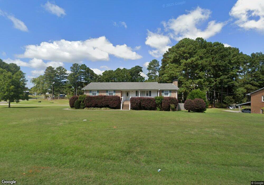
518 Sherron Rd Durham, NC 27703
Eastern Durham NeighborhoodEstimated Value: $401,838 - $554,000
3
Beds
2
Baths
1,814
Sq Ft
$246/Sq Ft
Est. Value
About This Home
This home is located at 518 Sherron Rd, Durham, NC 27703 and is currently estimated at $445,460, approximately $245 per square foot. 518 Sherron Rd is a home located in Durham County with nearby schools including Oak Grove Elementary, John W Neal Middle School, and Southern School of Energy & Sustainability.
Ownership History
Date
Name
Owned For
Owner Type
Purchase Details
Closed on
Jan 23, 2015
Sold by
Lane Donald R and Lane Rebecca P
Bought by
Towler Robert L
Current Estimated Value
Purchase Details
Closed on
Mar 14, 2007
Sold by
Brown John B and Burton Nancy A
Bought by
Lane Donald R and Lane Rebecca P
Home Financials for this Owner
Home Financials are based on the most recent Mortgage that was taken out on this home.
Original Mortgage
$25,000
Interest Rate
6.27%
Mortgage Type
Seller Take Back
Purchase Details
Closed on
Mar 2, 2006
Sold by
Murray Johnny A and Murray Patricia C
Bought by
Lane Donald R and Lane Rebecca F
Create a Home Valuation Report for This Property
The Home Valuation Report is an in-depth analysis detailing your home's value as well as a comparison with similar homes in the area
Home Values in the Area
Average Home Value in this Area
Purchase History
| Date | Buyer | Sale Price | Title Company |
|---|---|---|---|
| Towler Robert L | $135,000 | None Available | |
| Lane Donald R | $25,500 | None Available | |
| Lane Donald R | $220,000 | None Available |
Source: Public Records
Mortgage History
| Date | Status | Borrower | Loan Amount |
|---|---|---|---|
| Previous Owner | Lane Donald R | $25,000 |
Source: Public Records
Tax History
| Year | Tax Paid | Tax Assessment Tax Assessment Total Assessment is a certain percentage of the fair market value that is determined by local assessors to be the total taxable value of land and additions on the property. | Land | Improvement |
|---|---|---|---|---|
| 2025 | $3,253 | $451,996 | $146,856 | $305,140 |
| 2024 | $2,632 | $247,944 | $56,475 | $191,469 |
| 2023 | $2,458 | $247,944 | $56,475 | $191,469 |
| 2022 | $2,388 | $247,944 | $56,475 | $191,469 |
| 2021 | $2,175 | $247,944 | $56,475 | $191,469 |
| 2020 | $2,125 | $247,944 | $56,475 | $191,469 |
| 2019 | $2,100 | $247,944 | $56,475 | $191,469 |
| 2018 | $2,072 | $224,489 | $35,315 | $189,174 |
| 2017 | $2,005 | $224,489 | $35,315 | $189,174 |
| 2016 | $1,943 | $224,489 | $35,315 | $189,174 |
| 2015 | $2,097 | $212,152 | $35,386 | $176,766 |
| 2014 | $2,108 | $212,152 | $35,386 | $176,766 |
Source: Public Records
Map
Nearby Homes
- 517 Keith St
- 17 Plumleaf Ln
- 528 Plumleaf Ln
- 13 Blackthorn Ln
- 1112 Blackthorn Ln
- 807 Outlaw Ave
- 1114 Blackthorn Ln
- 442 Gus Rd
- 819 Ember Dr
- 601 Crossing Dr
- 2208 Gilman St
- 108 Putters Ct
- 428 Holly Blossom Dr
- 621 Wellwater Ave
- 1204 Constellation Cir
- 1202 Constellation Cir
- 1200 Constellation Cir
- 615 Southshore Pkwy
- 1126 Constellation Cir
- 2800-2809 Napoli Dr
Your Personal Tour Guide
Ask me questions while you tour the home.