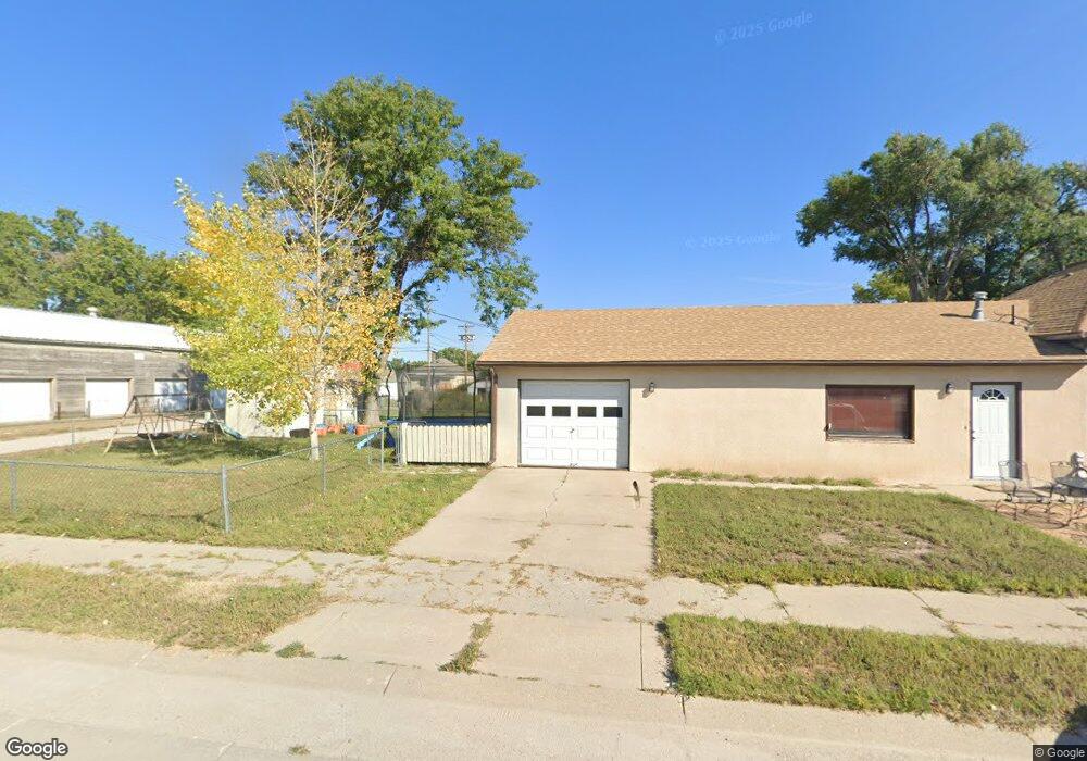
518 W 2nd St Alliance, NE 69301
Estimated Value: $58,000 - $96,000
2
Beds
1
Bath
960
Sq Ft
$79/Sq Ft
Est. Value
About This Home
This home is located at 518 W 2nd St, Alliance, NE 69301 and is currently estimated at $75,848, approximately $79 per square foot. 518 W 2nd St is a home located in Box Butte County with nearby schools including Alliance High School, St. Agnes Academy, and Immanuel Evangelical Lutheran School.
Ownership History
Date
Name
Owned For
Owner Type
Purchase Details
Closed on
Jul 18, 2013
Sold by
Mccarty Roxann and Blumanthal Reinold
Bought by
Blumanthal Robert E
Current Estimated Value
Purchase Details
Closed on
Mar 30, 2012
Sold by
Thompson John C
Bought by
Blumanthal Reinhold H
Purchase Details
Closed on
Oct 26, 2011
Sold by
Blumanthal Rienold H and Welch Rene S
Bought by
Thompson John C
Create a Home Valuation Report for This Property
The Home Valuation Report is an in-depth analysis detailing your home's value as well as a comparison with similar homes in the area
Home Values in the Area
Average Home Value in this Area
Purchase History
| Date | Buyer | Sale Price | Title Company |
|---|---|---|---|
| Blumanthal Robert E | $24,000 | -- | |
| Blumanthal Reinhold H | -- | -- | |
| Blumanthal Reinhold H | -- | -- | |
| Thompson John C | -- | -- | |
| Thompson John C | -- | -- |
Source: Public Records
Tax History Compared to Growth
Tax History
| Year | Tax Paid | Tax Assessment Tax Assessment Total Assessment is a certain percentage of the fair market value that is determined by local assessors to be the total taxable value of land and additions on the property. | Land | Improvement |
|---|---|---|---|---|
| 2024 | $492 | $39,260 | $5,250 | $34,010 |
| 2023 | $675 | $39,260 | $5,250 | $34,010 |
| 2022 | $497 | $27,295 | $4,550 | $22,745 |
| 2021 | $503 | $27,295 | $4,550 | $22,745 |
| 2020 | $502 | $27,295 | $4,550 | $22,745 |
| 2019 | $490 | $27,295 | $4,550 | $22,745 |
| 2018 | $488 | $27,295 | $4,550 | $22,745 |
| 2017 | $499 | $26,863 | $2,450 | $24,413 |
| 2016 | $493 | $26,863 | $2,450 | $24,413 |
| 2015 | $630 | $25,530 | $2,450 | $23,080 |
| 2014 | $630 | $24,000 | $2,450 | $21,550 |
Source: Public Records
Map
Nearby Homes
- 316 Big Horn Ave
- 413 Big Horn Ave
- 420 Laramie Ave
- 621 Emerson Ave
- 719 Toluca Ave
- 819 Black Hills Ave
- 907 Toluca Ave
- 911 Emerson Ave
- 924 Big Horn Ave
- 904 Laramie Ave
- 936 Platte Ave
- 928 Black Hills Ave
- 615 Sweetwater Ave
- 1019 Laramie Ave
- 1021 Dakota Ave
- 613 Mississippi Ave
- 1232 Cheyenne Ave
- 1232 Emerson Ave
- 1239 Toluca Ave
- 917 Missouri Ave
- 208 Toluca Ave
- 204 Toluca Ave
- 210 Toluca Ave
- 216 Toluca Ave
- 515 W 3rd St Unit GROUND LEASE+5.5 ACS
- 606 W 2nd St
- 521 W 3rd St
- 124 Toluca Ave
- 620 W 2nd St
- 207 Toluca Ave
- 203 Toluca Ave
- 211 Toluca Ave
- 624 W 2nd St
- 311 Emerson Ave
- 123 Platte Ave
- 308 Emerson Ave
- 312 Toluca Ave
- 315 Emerson Ave
- 312 Emerson Ave
- 204 Big Horn Ave