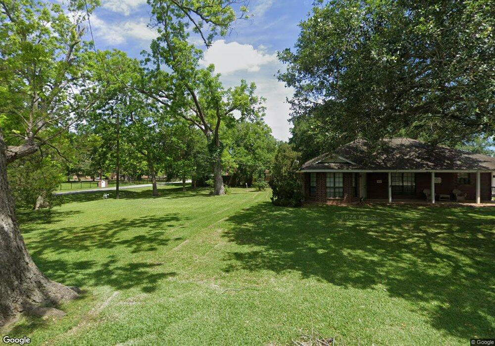
518 W Louisiana St Brazoria, TX 77422
Estimated Value: $148,000 - $200,000
3
Beds
1
Bath
1,212
Sq Ft
$140/Sq Ft
Est. Value
About This Home
This home is located at 518 W Louisiana St, Brazoria, TX 77422 and is currently estimated at $170,055, approximately $140 per square foot. 518 W Louisiana St is a home located in Brazoria County.
Ownership History
Date
Name
Owned For
Owner Type
Purchase Details
Closed on
May 23, 2014
Sold by
Powell Monica Gene
Bought by
Powell Luke K
Current Estimated Value
Home Financials for this Owner
Home Financials are based on the most recent Mortgage that was taken out on this home.
Original Mortgage
$48,000
Interest Rate
4.32%
Mortgage Type
Stand Alone First
Purchase Details
Closed on
Jun 17, 1997
Sold by
Chesshir Rex Ronald and Chessire Rex Ronald
Bought by
Powell Monica Gene
Home Financials for this Owner
Home Financials are based on the most recent Mortgage that was taken out on this home.
Original Mortgage
$30,090
Interest Rate
7.93%
Create a Home Valuation Report for This Property
The Home Valuation Report is an in-depth analysis detailing your home's value as well as a comparison with similar homes in the area
Home Values in the Area
Average Home Value in this Area
Purchase History
| Date | Buyer | Sale Price | Title Company |
|---|---|---|---|
| Powell Luke K | -- | None Available | |
| Powell Monica Gene | -- | -- |
Source: Public Records
Mortgage History
| Date | Status | Borrower | Loan Amount |
|---|---|---|---|
| Closed | Powell Luke K | $48,000 | |
| Closed | Powell Monica Gene | $30,090 |
Source: Public Records
Tax History Compared to Growth
Tax History
| Year | Tax Paid | Tax Assessment Tax Assessment Total Assessment is a certain percentage of the fair market value that is determined by local assessors to be the total taxable value of land and additions on the property. | Land | Improvement |
|---|---|---|---|---|
| 2025 | $3,235 | $155,110 | $15,620 | $139,490 |
| 2023 | $3,235 | $160,000 | $14,450 | $145,550 |
| 2022 | $2,935 | $129,950 | $12,750 | $117,200 |
| 2021 | $2,687 | $114,000 | $11,050 | $102,950 |
| 2020 | $2,734 | $110,540 | $10,200 | $100,340 |
| 2019 | $1,813 | $71,010 | $7,230 | $63,780 |
| 2018 | $2,129 | $82,940 | $7,140 | $75,800 |
| 2017 | $2,202 | $82,940 | $7,140 | $75,800 |
| 2016 | $2,117 | $79,770 | $5,950 | $73,820 |
| 2014 | $1,216 | $58,480 | $5,950 | $52,530 |
Source: Public Records
Map
Nearby Homes
- 3006 Fm 521 Rd
- 0 County Road 520 Unit 11272899
- 1561 County Road 797
- 3559 Farm To Market Road 521
- 2541 Cr 769c
- 2560 Cr-769c
- 2082 Fm 521 Rd
- 1970 Fm 521 Rd
- 2719 County Road 510
- 323 County Rd 461b
- 3862 Farm To Market Road 521
- 20310 County Road 510f
- 0 County Road 506 Unit 90697040
- 3032 County Road 510j
- 20331 County Road 510v
- 20406 Cr 510u Rd
- 20250 County Road 510q
- 0 County Road 510b
- 3042 County Road 510l
- 3146 County Road 510k
- 521 W Smith St
- 313 Travis St
- 7146 County Road 506
- 3002 Fm 521 Rd Unit 506
- 2775 County Road 520
- 0000 County Road 520 Off-Pvt Rd
- 2818 County Road 520
- 2763 County Road 520
- 2881 County Road 520
- 19104 County Road 520b
- 19114 County Road 520b
- 19124 County Road 520b
- 2929 County Road 520
- 19123 County Road 520a
- 2685 County Road 520
- 19119 County Road 520b
- 19127 County Road 520b
- 19112 County Road 520a
- 19106 County Road 520 at County Rd
- 19118 County Road 520a