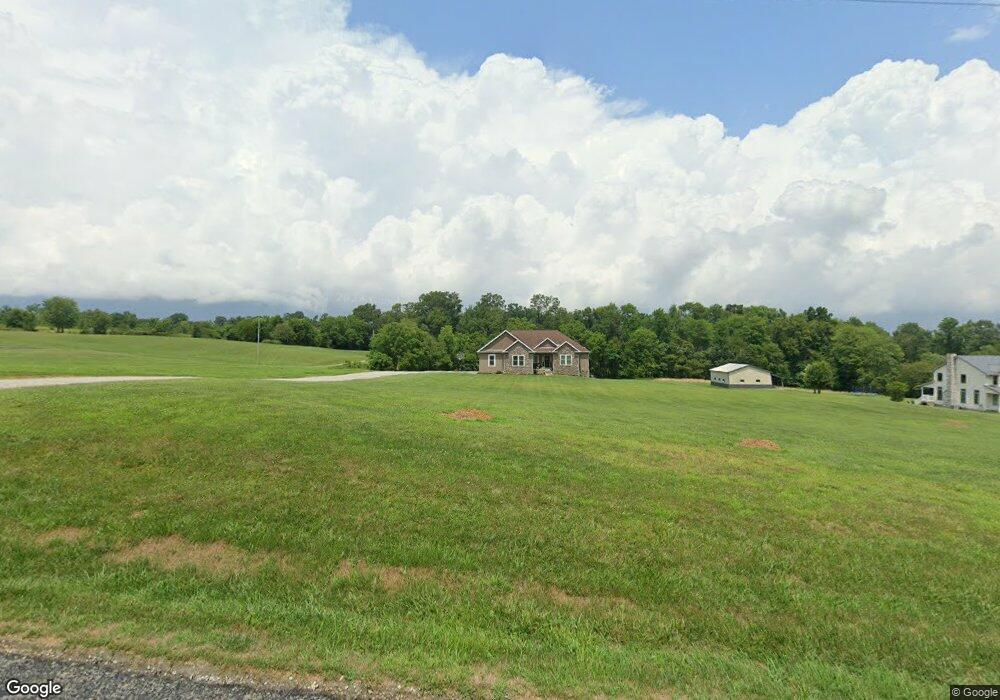
5181 Force Rd Shreve, OH 44676
Estimated Value: $325,000 - $561,958
3
Beds
3
Baths
2,179
Sq Ft
$200/Sq Ft
Est. Value
About This Home
This home is located at 5181 Force Rd, Shreve, OH 44676 and is currently estimated at $435,740, approximately $199 per square foot. 5181 Force Rd is a home with nearby schools including Triway High School and Sunny Slope C/O Ervin Mast.
Ownership History
Date
Name
Owned For
Owner Type
Purchase Details
Closed on
Aug 20, 2014
Sold by
Phillips Matt A
Bought by
Nehrenz Edward J and Nehrenz Carrie N
Current Estimated Value
Home Financials for this Owner
Home Financials are based on the most recent Mortgage that was taken out on this home.
Original Mortgage
$35,700
Outstanding Balance
$10,176
Interest Rate
4.14%
Mortgage Type
Unknown
Estimated Equity
$425,564
Purchase Details
Closed on
Apr 1, 2013
Sold by
Burnett Dustin J and Burnett Karen L
Bought by
Phillips Matt A
Purchase Details
Closed on
Nov 28, 2005
Sold by
Countrytyme Lodi Ltd
Bought by
Phillips Matt A
Home Financials for this Owner
Home Financials are based on the most recent Mortgage that was taken out on this home.
Original Mortgage
$29,175
Interest Rate
6.2%
Mortgage Type
Fannie Mae Freddie Mac
Create a Home Valuation Report for This Property
The Home Valuation Report is an in-depth analysis detailing your home's value as well as a comparison with similar homes in the area
Purchase History
We collect this data history from publicly available records. To have your information removed, we recommend requesting removal directly through your county’s website.
| Date | Buyer | Sale Price | Title Company |
|---|---|---|---|
| Nehrenz Edward J | $42,000 | Attorney | |
| Phillips Matt A | -- | Attorney | |
| Phillips Matt A | $38,900 | -- |
Source: Public Records
Mortgage History
We collect this data history from publicly available records. To have your information removed, we recommend requesting removal directly through your county’s website.
| Date | Status | Borrower | Loan Amount |
|---|---|---|---|
| Open | Nehrenz Edward J | $35,700 | |
| Previous Owner | Phillips Matt A | $29,175 |
Source: Public Records
Tax History
| Year | Tax Paid | Tax Assessment Tax Assessment Total Assessment is a certain percentage of the fair market value that is determined by local assessors to be the total taxable value of land and additions on the property. | Land | Improvement |
|---|---|---|---|---|
| 2025 | $6,060 | $157,400 | $31,030 | $126,370 |
| 2024 | $6,060 | $157,400 | $31,030 | $126,370 |
| 2023 | $6,102 | $157,400 | $31,030 | $126,370 |
| 2022 | $5,002 | $116,600 | $22,990 | $93,610 |
| 2021 | $5,011 | $116,600 | $22,990 | $93,610 |
| 2020 | $4,545 | $116,600 | $22,990 | $93,610 |
| 2019 | $3,711 | $92,170 | $16,550 | $75,620 |
| 2018 | $3,733 | $92,170 | $16,550 | $75,620 |
| 2017 | $2,091 | $92,170 | $16,550 | $75,620 |
| 2016 | $473 | $11,490 | $11,490 | $0 |
| 2015 | $462 | $11,490 | $11,490 | $0 |
| 2014 | -- | $11,490 | $11,490 | $0 |
| 2013 | $489 | $11,490 | $11,490 | $0 |
Source: Public Records
Map
Nearby Homes
- 290 Liberty St
- 301 Liberty St
- 244 Jones St
- 127 S Prospect St
- 202 S Market St
- 8045 Mcfadden Rd
- 8655 County Road 318
- 4588 S Elyria Rd
- 13155 State Route 226
- 4220 S Elyria Rd
- 6444 Newkirk Rd
- 7493 Millersburg Rd
- 3574 Batdorf Rd
- 5110 Millersburg Rd
- 0 E Moreland Rd
- 13982 Ohio 226
- 2633 Shamrock Way
- 2445 S Elyria Rd
- 8542 Township Road 1060
- 2585 Greenbriar Ln
Your Personal Tour Guide
Ask me questions while you tour the home.