5181 Red Land Rd Franklin, GA 30217
Estimated Value: $203,000 - $284,000
3
Beds
2
Baths
1,248
Sq Ft
$195/Sq Ft
Est. Value
About This Home
This home is located at 5181 Red Land Rd, Franklin, GA 30217 and is currently estimated at $243,576, approximately $195 per square foot. 5181 Red Land Rd is a home located in Heard County with nearby schools including Heard County High School.
Ownership History
Date
Name
Owned For
Owner Type
Purchase Details
Closed on
Jan 16, 2009
Sold by
Brown Clint
Bought by
Brown Clint W
Current Estimated Value
Home Financials for this Owner
Home Financials are based on the most recent Mortgage that was taken out on this home.
Original Mortgage
$102,500
Outstanding Balance
$64,996
Interest Rate
5.24%
Mortgage Type
New Conventional
Estimated Equity
$178,580
Purchase Details
Closed on
Oct 1, 1998
Sold by
Brown Thomas W
Bought by
Brown Clint and Brown Marjor
Create a Home Valuation Report for This Property
The Home Valuation Report is an in-depth analysis detailing your home's value as well as a comparison with similar homes in the area
Home Values in the Area
Average Home Value in this Area
Purchase History
| Date | Buyer | Sale Price | Title Company |
|---|---|---|---|
| Brown Clint W | -- | -- | |
| Brown Clint | -- | -- |
Source: Public Records
Mortgage History
| Date | Status | Borrower | Loan Amount |
|---|---|---|---|
| Open | Brown Clint W | $102,500 |
Source: Public Records
Tax History Compared to Growth
Tax History
| Year | Tax Paid | Tax Assessment Tax Assessment Total Assessment is a certain percentage of the fair market value that is determined by local assessors to be the total taxable value of land and additions on the property. | Land | Improvement |
|---|---|---|---|---|
| 2024 | $1,303 | $66,636 | $8,871 | $57,765 |
| 2023 | $1,180 | $58,537 | $7,392 | $51,145 |
| 2022 | $1,122 | $55,763 | $4,978 | $50,785 |
| 2021 | $940 | $44,777 | $4,978 | $39,799 |
| 2020 | $898 | $42,481 | $4,978 | $37,503 |
| 2019 | $899 | $42,481 | $4,978 | $37,503 |
| 2018 | $961 | $42,481 | $4,978 | $37,503 |
| 2017 | $859 | $40,049 | $4,394 | $35,655 |
| 2016 | $800 | $37,432 | $4,394 | $33,038 |
| 2015 | -- | $34,841 | $7,466 | $27,376 |
| 2014 | -- | $34,843 | $7,466 | $27,377 |
| 2013 | -- | $39,630 | $7,465 | $32,164 |
Source: Public Records
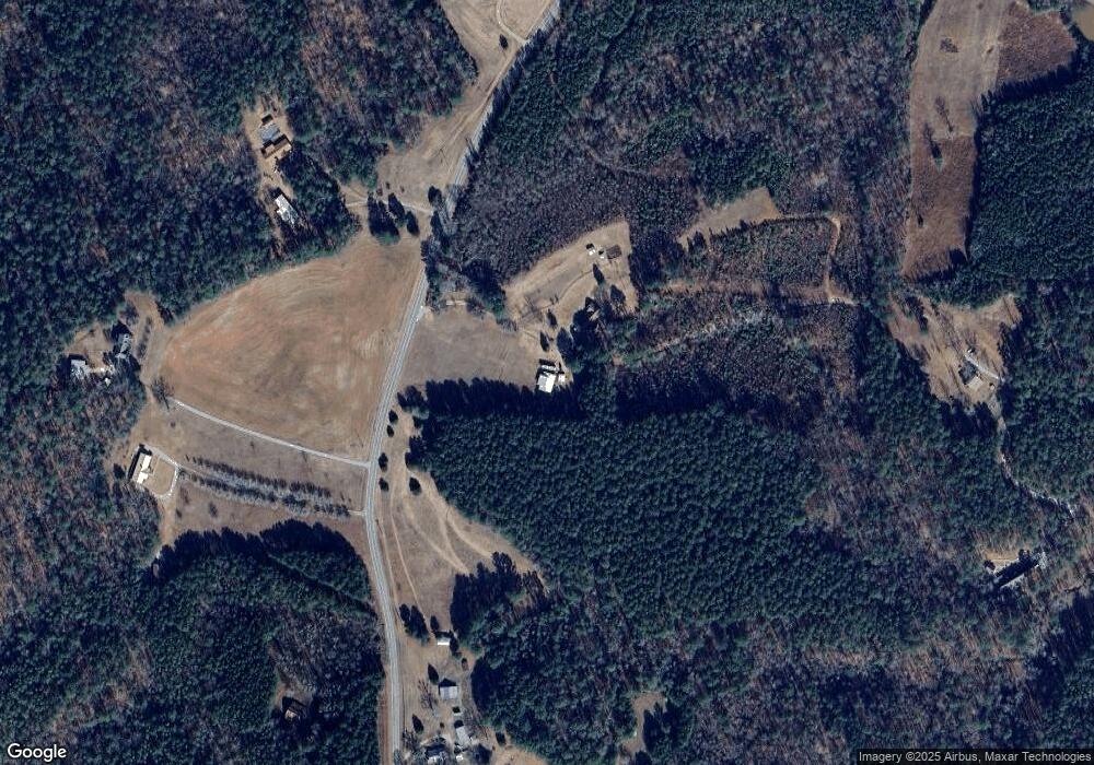
Map
Nearby Homes
- 4383 Ga Highway 34
- 6110 Ga Highway 34
- 4383 Georgia 34
- 6215 Georgia 34
- 1555 Straylott Rd
- 0 Lipham Rd Unit 10505011
- 2485 Georgia 34
- 24.5+/- Ac Awebreys Gin Rd
- 14.8 + - Ac Bethel Rd W
- 18+/- Ac Bethel Rd W
- 14.8 +/- AC Bethel Rd W
- 18 +/- AC Bethel Rd W
- 13.9 +/- AC Awbreys Gin Rd
- 24.5+/- AC Awbreys Gin Rd
- 24.5 +/- AC Awbreys Gin Rd
- 11 +/- AC Awbreys Gin Rd
- 13.9 + - Ac Awebreys Gin Rd
- 2758 Straylott Rd
- 57+/- Ac Victory Rd
- 11 + - Ac Awebreys Gin Rd
- 5185 Redland Rd
- 5250 Red Land Rd
- 5108 Red Land Rd
- 5175 Red Land Rd
- 5425 Red Land Rd
- 4681 Redland Rd
- 4681 Red Land Rd
- 5494 Red Land Rd
- 4609 Red Land Rd
- 5644 Red Land Rd
- 5644 Redland Rd
- 4573 Red Land Rd
- 4573 Redland Rd
- 4549 Red Land Rd
- 5795 Red Land Rd
- 5795 Red Land Rd
- 5995 Red Land Rd
- 4543 Red Land Rd
- 165 Evans Dr
- 4543 Redland Rd