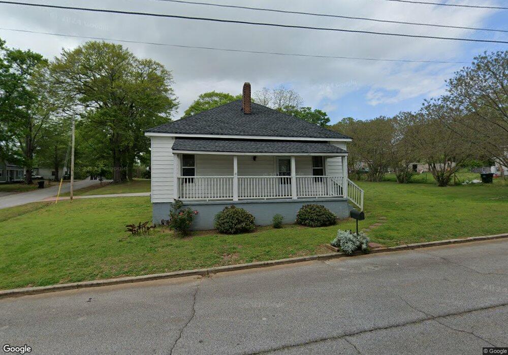
5181 Wheat St NE Unit 120 Covington, GA 30014
Estimated Value: $178,000 - $267,000
2
Beds
2
Baths
1,142
Sq Ft
$188/Sq Ft
Est. Value
About This Home
This home is located at 5181 Wheat St NE Unit 120, Covington, GA 30014 and is currently estimated at $214,937, approximately $188 per square foot. 5181 Wheat St NE Unit 120 is a home located in Newton County with nearby schools including Flint Hill Elementary School, Cousins Middle School, and Eastside High School.
Ownership History
Date
Name
Owned For
Owner Type
Purchase Details
Closed on
Sep 29, 2016
Sold by
Kaoua Raoul
Bought by
Parker Anthony W and Parker Arlene
Current Estimated Value
Home Financials for this Owner
Home Financials are based on the most recent Mortgage that was taken out on this home.
Original Mortgage
$89,500
Outstanding Balance
$11,255
Interest Rate
3.46%
Mortgage Type
New Conventional
Estimated Equity
$203,682
Purchase Details
Closed on
Aug 31, 2016
Sold by
Mike
Bought by
Kaoua Raoul and Kaoua Yvonne
Home Financials for this Owner
Home Financials are based on the most recent Mortgage that was taken out on this home.
Original Mortgage
$89,500
Outstanding Balance
$11,255
Interest Rate
3.46%
Mortgage Type
New Conventional
Estimated Equity
$203,682
Create a Home Valuation Report for This Property
The Home Valuation Report is an in-depth analysis detailing your home's value as well as a comparison with similar homes in the area
Home Values in the Area
Average Home Value in this Area
Purchase History
| Date | Buyer | Sale Price | Title Company |
|---|---|---|---|
| Parker Anthony W | -- | -- | |
| Parker Anthony W | $92,500 | -- | |
| Kaoua Raoul | $72,500 | -- |
Source: Public Records
Mortgage History
| Date | Status | Borrower | Loan Amount |
|---|---|---|---|
| Open | Parker Anthony W | $89,500 | |
| Closed | Parker Anthony W | $89,500 |
Source: Public Records
Tax History Compared to Growth
Tax History
| Year | Tax Paid | Tax Assessment Tax Assessment Total Assessment is a certain percentage of the fair market value that is determined by local assessors to be the total taxable value of land and additions on the property. | Land | Improvement |
|---|---|---|---|---|
| 2024 | $1,147 | $74,760 | $14,000 | $60,760 |
| 2023 | $1,168 | $62,080 | $4,000 | $58,080 |
| 2022 | $1,294 | $55,960 | $4,000 | $51,960 |
| 2021 | $1,310 | $39,320 | $4,156 | $35,164 |
| 2020 | $1,438 | $39,320 | $4,156 | $35,164 |
| 2019 | $1,465 | $39,320 | $4,000 | $35,320 |
| 2018 | $569 | $30,960 | $4,000 | $26,960 |
| 2017 | $606 | $18,000 | $2,000 | $16,000 |
| 2016 | $431 | $10,480 | $2,800 | $7,680 |
| 2015 | $392 | $9,520 | $2,000 | $7,520 |
| 2014 | $336 | $9,520 | $0 | $0 |
Source: Public Records
Map
Nearby Homes
- 5150 Wheat St NE
- 0 Highway 278 NE Unit 10595588
- 6192 Collins St NE
- 6193 Collins St NE
- 4217 Elizabeth St NE
- 4105 Rose Ln NE
- 5130 N Dearing St NE
- 5139 West Dr NE
- 6127 Floyd St NE
- 4128 Elizabeth St NE
- 6104 Floyd St NE
- 4181 A&B Floyd St NE
- 2173 Anderson Ave SE
- 5118 Floyd St NE
- 3127 Mill St SE
- 3112 Floyd St NE
- 3149 Thompson Ave SE
- 2133 Thompson Ave SE
- 3183 Conyers St SE
- 9202 Settlers Grove Rd NE
- 5181 Wheat St NE
- 5114 Worsham St NE
- 5193 Wheat St NE
- 5202 Baxter St NE
- 5109 Worsham St NE
- 5172 Wheat St NE
- 5186 Wheat St NE
- 5119 Worsham St NE
- 5119 Worsham St NE Unit B
- 5119 Worsham St NE
- 5168 Wheat St NE
- 5205 Wheat St NE
- 5214 Baxter St NE
- 5124 Worsham St NE
- 6105 Blair St NE
- 5108 Hackett St NE
- 5158 Wheat St NE
- 5129 Worsham St NE
- 5122 Hackett St NE
- 6108 Baxter St NE