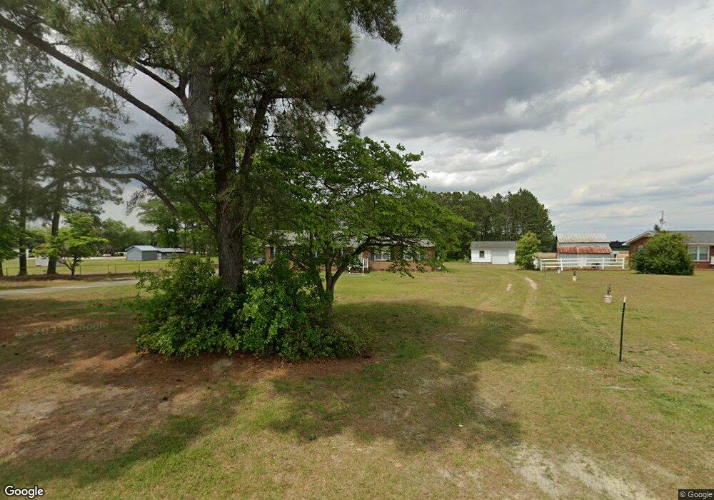
5182 Mays Store Rd La Grange, NC 28551
Estimated Value: $227,836 - $329,000
3
Beds
2
Baths
1,624
Sq Ft
$162/Sq Ft
Est. Value
About This Home
This home is located at 5182 Mays Store Rd, La Grange, NC 28551 and is currently estimated at $263,459, approximately $162 per square foot. 5182 Mays Store Rd is a home located in Lenoir County with nearby schools including La Grange Elementary School, E.B. Frink Middle School, and North Lenoir High School.
Ownership History
Date
Name
Owned For
Owner Type
Purchase Details
Closed on
Mar 6, 2007
Sold by
Tingen Mary G and Sutton Doris Ann
Bought by
Tingen Georgia Ellen
Current Estimated Value
Home Financials for this Owner
Home Financials are based on the most recent Mortgage that was taken out on this home.
Original Mortgage
$70,000
Outstanding Balance
$41,997
Interest Rate
6.19%
Mortgage Type
New Conventional
Estimated Equity
$221,462
Create a Home Valuation Report for This Property
The Home Valuation Report is an in-depth analysis detailing your home's value as well as a comparison with similar homes in the area
Home Values in the Area
Average Home Value in this Area
Purchase History
| Date | Buyer | Sale Price | Title Company |
|---|---|---|---|
| Tingen Georgia Ellen | $125,000 | None Available |
Source: Public Records
Mortgage History
| Date | Status | Borrower | Loan Amount |
|---|---|---|---|
| Open | Tingen Georgia Ellen | $70,000 |
Source: Public Records
Tax History Compared to Growth
Tax History
| Year | Tax Paid | Tax Assessment Tax Assessment Total Assessment is a certain percentage of the fair market value that is determined by local assessors to be the total taxable value of land and additions on the property. | Land | Improvement |
|---|---|---|---|---|
| 2025 | $1,823 | $236,440 | $25,233 | $211,207 |
| 2024 | $1,280 | $128,609 | $15,300 | $113,309 |
| 2023 | $1,228 | $128,609 | $15,300 | $113,309 |
| 2022 | $1,228 | $128,609 | $15,300 | $113,309 |
| 2021 | $1,228 | $128,609 | $15,300 | $113,309 |
| 2020 | $1,228 | $128,609 | $15,300 | $113,309 |
| 2019 | $1,228 | $128,609 | $15,300 | $113,309 |
| 2018 | $1,209 | $128,609 | $15,300 | $113,309 |
| 2017 | $1,125 | $128,609 | $15,300 | $113,309 |
| 2014 | $1,130 | $129,152 | $15,300 | $113,852 |
| 2013 | -- | $129,152 | $15,300 | $113,852 |
| 2011 | -- | $129,152 | $15,300 | $113,852 |
Source: Public Records
Map
Nearby Homes
- 6272 Highway 70 E
- 3619 S Caswell St
- 4725 Packhouse Rd
- 805 Madison Ann Dr
- 5517 Bulltown Rd
- 614 S Caswell St
- 210 Wood St
- 201 Wood St
- 202 Wood St
- 208 Wood St
- 217 Wood St
- 204 Wood St
- 205 Wood St
- 206 Wood St
- Hayden Plan at Blair Ridge
- Freeport Plan at Blair Ridge
- Cali Plan at Blair Ridge
- Belhaven Plan at Blair Ridge
- 219 Wood St
- 101 Forest Dr
- 5152 Mays Store Rd
- 2989 Jenny Lind Rd
- 2975 Jenny Lind Rd
- 3003 Jenny Lind Rd
- 5218 Mays Store Rd
- 2988 Jenny Lind Rd
- 3020 Jenny Lind Rd
- 3065 Jenny Lind Rd
- 5099 Mays Store Rd
- 2888 Jenny Lind Rd
- 2869 Jenny Lind Rd
- 3108 Jenny Lind Rd
- 0000 Jinny Lind
- 3156 Jenny Lind Rd
- 5569 Michaels Dr
- 5376 Mays Store Rd
- 5309 Echo Dr
- 3178 Jenny Lind Rd
- 5377 Mays Store Rd
- 3213 Jenny Lind Rd