5182 Overlook Dr Claremont, NC 28610
Estimated Value: $363,000 - $523,000
3
Beds
3
Baths
1,898
Sq Ft
$250/Sq Ft
Est. Value
About This Home
This home is located at 5182 Overlook Dr, Claremont, NC 28610 and is currently estimated at $474,128, approximately $249 per square foot. 5182 Overlook Dr is a home located in Catawba County with nearby schools including Oxford Elementary School, River Bend Middle School, and Bunker Hill High School.
Ownership History
Date
Name
Owned For
Owner Type
Purchase Details
Closed on
Aug 30, 2010
Sold by
Waring Lea M
Bought by
Hay John T and Hay Treva J
Current Estimated Value
Purchase Details
Closed on
Dec 19, 2005
Sold by
Marshall Judith M
Bought by
Waring Lea M
Home Financials for this Owner
Home Financials are based on the most recent Mortgage that was taken out on this home.
Original Mortgage
$90,000
Interest Rate
5.62%
Mortgage Type
Purchase Money Mortgage
Create a Home Valuation Report for This Property
The Home Valuation Report is an in-depth analysis detailing your home's value as well as a comparison with similar homes in the area
Home Values in the Area
Average Home Value in this Area
Purchase History
| Date | Buyer | Sale Price | Title Company |
|---|---|---|---|
| Hay John T | $159,600 | None Available | |
| Waring Lea M | $230,000 | None Available |
Source: Public Records
Mortgage History
| Date | Status | Borrower | Loan Amount |
|---|---|---|---|
| Previous Owner | Waring Lea M | $90,000 |
Source: Public Records
Tax History
| Year | Tax Paid | Tax Assessment Tax Assessment Total Assessment is a certain percentage of the fair market value that is determined by local assessors to be the total taxable value of land and additions on the property. | Land | Improvement |
|---|---|---|---|---|
| 2025 | $2,145 | $466,900 | $86,600 | $380,300 |
| 2024 | $2,145 | $466,900 | $86,600 | $380,300 |
| 2023 | $2,145 | $236,500 | $86,600 | $149,900 |
| 2022 | $1,514 | $236,500 | $86,600 | $149,900 |
| 2021 | $1,514 | $236,500 | $86,600 | $149,900 |
| 2020 | $1,514 | $236,500 | $86,600 | $149,900 |
| 2019 | $1,514 | $236,500 | $0 | $0 |
| 2018 | $1,461 | $228,300 | $86,600 | $141,700 |
| 2017 | $1,461 | $0 | $0 | $0 |
| 2016 | $1,461 | $0 | $0 | $0 |
| 2015 | $1,275 | $228,300 | $86,600 | $141,700 |
| 2014 | $1,275 | $217,600 | $60,400 | $157,200 |
Source: Public Records
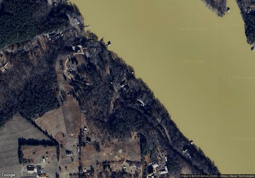
Map
Nearby Homes
- 4270 Laurel Hill Rd
- 4237 Laurel Hill Rd
- 4327 Son Lawing Dr
- 4333 Son Lawing Dr
- 105 Mountain Aire Dr
- 4247 Laurel Hill Rd
- 547 Stewart Rock Rd
- 179 Riverwalk Rd
- 127 Beacon Ridge Dr
- 4928 Northcrest St
- 119 Wood Cove Ln
- 300 Rivercliff Dr
- 283 Rivercliff Dr Unit 20
- 4893 Gateway Dr
- 4322 Circle Dr
- 4927 Gateway Dr
- 150 Oak Point Ln
- 164 Ridge Point Dr
- 136 Oak Point Ln
- 145 Oak Point Ln
- 5188 Overlook Dr
- 5194 Overlook Dr
- 5166 Overlook Dr
- 5166 and 5162 Overlook Dr Unit 9 and 10
- 5200 Overlook Dr
- 5158 Overlook Dr
- 5212 Overlook Dr
- 5142 Overlook Dr
- 5224 Overlook Dr
- 5230 Overlook Dr
- 5265 Overlook Dr
- 5175 Overlook Dr
- 5236 Overlook Dr
- 4180 Stewart Rd
- 4167 Laurel Hill Rd
- 5108 Overlook Dr
- 4179 Laurel Hill Rd
- 4149 Laurel Hill Rd
- 4214 Stewart Rd
- 4290 Stewart Rd
Your Personal Tour Guide
Ask me questions while you tour the home.