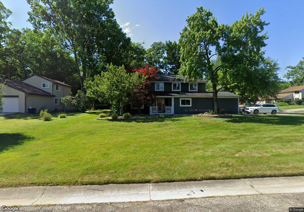
5183 Patrick Rd West Bloomfield, MI 48322
West Bloomfield Township NeighborhoodEstimated Value: $454,964 - $571,000
4
Beds
3
Baths
2,774
Sq Ft
$183/Sq Ft
Est. Value
About This Home
This home is located at 5183 Patrick Rd, West Bloomfield, MI 48322 and is currently estimated at $508,241, approximately $183 per square foot. 5183 Patrick Rd is a home located in Oakland County with nearby schools including Sheiko Elementary School, The Susan And Rabbi Harold Loss Ecc, and Brookfield Academy - West Bloomfield.
Ownership History
Date
Name
Owned For
Owner Type
Purchase Details
Closed on
Oct 27, 2012
Sold by
Lowenthal Kathy L and Lowenthal Kathryn L
Bought by
Lowenthal Kathy L and Kathy L Lowenthal Revocable Li
Current Estimated Value
Purchase Details
Closed on
Mar 21, 2005
Sold by
Lowenthal Jeffrey N
Bought by
Lowenthal Kathryn L
Create a Home Valuation Report for This Property
The Home Valuation Report is an in-depth analysis detailing your home's value as well as a comparison with similar homes in the area
Home Values in the Area
Average Home Value in this Area
Purchase History
| Date | Buyer | Sale Price | Title Company |
|---|---|---|---|
| Lowenthal Kathy L | -- | None Available | |
| Lowenthal Kathryn L | -- | -- |
Source: Public Records
Tax History
| Year | Tax Paid | Tax Assessment Tax Assessment Total Assessment is a certain percentage of the fair market value that is determined by local assessors to be the total taxable value of land and additions on the property. | Land | Improvement |
|---|---|---|---|---|
| 2025 | $4,834 | $218,950 | $60,750 | $158,200 |
| 2024 | $3,012 | $206,850 | $0 | $0 |
| 2022 | $2,884 | $179,790 | $45,000 | $134,790 |
| 2021 | $4,382 | $166,560 | $0 | $0 |
| 2020 | $2,826 | $162,990 | $40,550 | $122,440 |
| 2018 | $4,226 | $147,190 | $28,700 | $118,490 |
| 2015 | -- | $123,150 | $0 | $0 |
| 2014 | -- | $111,460 | $0 | $0 |
| 2011 | -- | $97,020 | $0 | $0 |
Source: Public Records
Map
Nearby Homes
- 5634 Stratford Dr
- 5585 Culpepper Dr
- 5549 Perrytown Dr
- 4819 Thorntree Dr
- 5731 Farmington Rd
- 4817 Faircourt Dr
- 6323 Potomac Cir Unit 22
- 5256 Wright Way E Unit 64
- 5353 Wright Way W
- 4623 Patrick Rd
- 5590 Bayswater Rd
- 6076 Dunmore Dr
- 5865 Dunmore Ct
- 5292 Pond Bluff Dr
- 5956 Pinecroft Dr
- 6121 Westbrooke Dr Unit 7
- 6129 Westbrooke Dr Unit 10
- 6323 Drakeshire Ln
- 5965 Crestwood Dr
- 4205 Pinehurst Dr
- 5167 Patrick Rd
- 5144 Chestershire Ct
- 5199 Chestershire Dr
- 5182 Patrick Rd
- 5151 Patrick Rd
- 5187 Chestershire Dr
- 5166 Patrick Rd
- 5200 Patrick Rd
- 5175 Chestershire Dr
- 5132 Chestershire Ct
- 5218 Patrick Rd
- 5150 Patrick Rd
- 5133 Patrick Rd
- 5155 Bantry Dr
- 5158 Chestershire Dr
- 5120 Chestershire Ct
- 5236 Patrick Rd
- 5175 Bantry Dr
- 5145 Chestershire Ct
- 5135 Bantry Dr
Your Personal Tour Guide
Ask me questions while you tour the home.