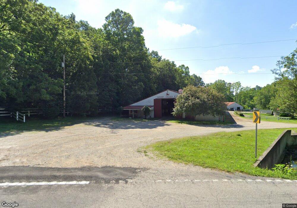
5183 State Highway 2 Olive Hill, KY 41164
Estimated Value: $583,000 - $662,923
3
Beds
3
Baths
1,300
Sq Ft
$479/Sq Ft
Est. Value
About This Home
This home is located at 5183 State Highway 2, Olive Hill, KY 41164 and is currently estimated at $622,962, approximately $479 per square foot. 5183 State Highway 2 is a home located in Carter County with nearby schools including Olive Hill Elementary School, West Carter Middle School, and West Carter County High School.
Ownership History
Date
Name
Owned For
Owner Type
Purchase Details
Closed on
Dec 31, 2024
Sold by
Coleman Robert L and Pastore Jane
Bought by
Coleman Robert L and Pastore Coleman Jane
Current Estimated Value
Purchase Details
Closed on
May 29, 2009
Sold by
Coleman Kim E
Bought by
Coleman Robert L
Create a Home Valuation Report for This Property
The Home Valuation Report is an in-depth analysis detailing your home's value as well as a comparison with similar homes in the area
Home Values in the Area
Average Home Value in this Area
Purchase History
| Date | Buyer | Sale Price | Title Company |
|---|---|---|---|
| Coleman Robert L | -- | None Listed On Document | |
| Coleman Robert L | -- | None Listed On Document | |
| Coleman Robert L | -- | None Available |
Source: Public Records
Tax History Compared to Growth
Tax History
| Year | Tax Paid | Tax Assessment Tax Assessment Total Assessment is a certain percentage of the fair market value that is determined by local assessors to be the total taxable value of land and additions on the property. | Land | Improvement |
|---|---|---|---|---|
| 2024 | $3,419 | $398,140 | $0 | $0 |
| 2023 | $2,675 | $310,000 | $0 | $0 |
| 2022 | $2,685 | $310,000 | $0 | $0 |
| 2021 | $2,380 | $310,000 | $0 | $0 |
| 2020 | $1,999 | $450,000 | $210,000 | $240,000 |
| 2019 | $1,861 | $250,000 | $10,000 | $240,000 |
| 2018 | $1,877 | $250,000 | $10,000 | $240,000 |
| 2017 | $1,791 | $250,000 | $10,000 | $240,000 |
| 2016 | $1,793 | $250,000 | $10,000 | $240,000 |
| 2015 | $1,750 | $250,000 | $0 | $0 |
| 2014 | $1,758 | $250,000 | $0 | $0 |
| 2011 | $2,018 | $250,000 | $0 | $0 |
Source: Public Records
Map
Nearby Homes
- 517 Erwin Ridge Rd
- 795 Baker Cemetery Rd
- 230 Madison Ln
- 188 Strawberry Ln
- 208 Strawberry Ln
- 451 Irwin Rd
- 6698 Kentucky 2
- 1104 Webb Ln
- 425 Parker Memorial Dr
- 178 Mills Branch
- 133 Olive St
- 126 Mills St
- 0 Craig St
- 655 Mason Cir
- 2500 State Highway 1025
- 110 Clark Hill Ave
- 411 Webb St
- 335 Hillside St
- 1025 Rayburn St
- 000 Tick Ridge Rd
- 5183 State Highway 2
- 1234 Smokey Valley Rd
- 1089 Smokey Creek
- 1089 Smokey Creek
- 512 Smokey Creek
- 5287 State Highway 2
- 5287 State Highway 2
- 4154 Smokey Valley
- 144 Okera Rd
- 4517 State Highway 2
- 4425 State Highway 2
- 4154 State Highway 2
- 159 Stallard Cem Rd
- 0 Stoney Point Rd
- 4369 State Highway 2
- 4385 State Highway 2
- 504 Smokey Valley
- 504 Smoky Rd
- 98 Webb Ridge
- 567 Smokey Valley
