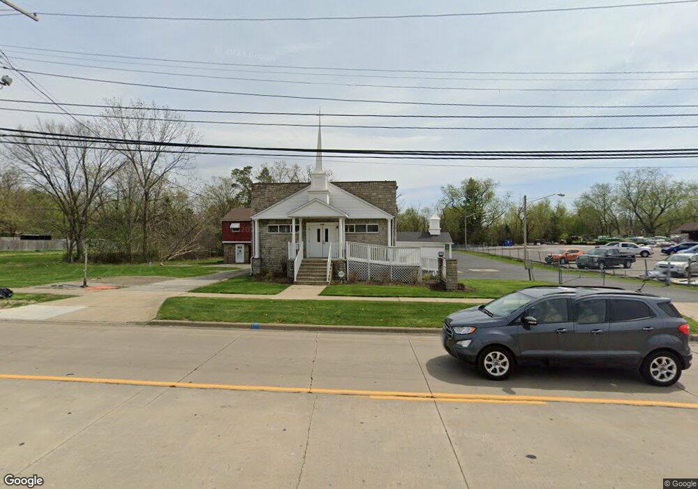
5185 Lee Rd Maple Heights, OH 44137
Estimated Value: $339,367
Studio
--
Bath
4,000
Sq Ft
$85/Sq Ft
Est. Value
About This Home
This home is located at 5185 Lee Rd, Maple Heights, OH 44137 and is currently estimated at $339,367, approximately $84 per square foot. 5185 Lee Rd is a home located in Cuyahoga County with nearby schools including Abraham Lincoln Elementary School, Rockside/ J.F. Kennedy School, and Barack Obama School.
Ownership History
Date
Name
Owned For
Owner Type
Purchase Details
Closed on
Mar 19, 2015
Sold by
Jones Jesse J and Jones Patricia A
Bought by
Southeast Baptist Church
Current Estimated Value
Purchase Details
Closed on
Aug 6, 1997
Sold by
Maple Heights Masonic Te
Bought by
Jones Jessie J and Jones Patricia A
Home Financials for this Owner
Home Financials are based on the most recent Mortgage that was taken out on this home.
Original Mortgage
$120,000
Interest Rate
7.68%
Mortgage Type
Commercial
Purchase Details
Closed on
Jan 1, 1975
Bought by
Assn
Create a Home Valuation Report for This Property
The Home Valuation Report is an in-depth analysis detailing your home's value as well as a comparison with similar homes in the area
Home Values in the Area
Average Home Value in this Area
Purchase History
| Date | Buyer | Sale Price | Title Company |
|---|---|---|---|
| Southeast Baptist Church | -- | None Available | |
| Jones Jessie J | $150,000 | -- | |
| Assn | -- | -- |
Source: Public Records
Mortgage History
| Date | Status | Borrower | Loan Amount |
|---|---|---|---|
| Previous Owner | Jones Jessie J | $120,000 |
Source: Public Records
Map
Nearby Homes
- 5210 Theodore St
- 16174 Friend Ave
- 5062 Lee Rd
- 16029 Friend Ave
- 5204 Anthony St
- 16101 Raymond St
- 16351 Glenburn Ave
- 16241 Glenburn Ave
- 5370 Lee Rd Unit 302
- 5382 Lee Rd Unit 102
- 5382 Lee Rd Unit 204
- 5382 Lee Rd Unit 202
- 5212 Catherine St
- 16907 Maple Heights Blvd
- 5246 Philip Ave
- 5082 Philip Ave
- 17282 Mccracken Rd
- 5231 Philip Ave
- 17005 Mapleboro Ave
- 16706 Myrtle Ave
Your Personal Tour Guide
Ask me questions while you tour the home.