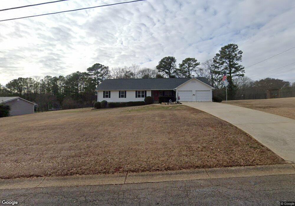
5185 Pamela Dr Douglasville, GA 30135
Fouts Mill NeighborhoodEstimated Value: $273,782 - $482,000
3
Beds
2
Baths
2,240
Sq Ft
$160/Sq Ft
Est. Value
About This Home
This home is located at 5185 Pamela Dr, Douglasville, GA 30135 and is currently estimated at $359,446, approximately $160 per square foot. 5185 Pamela Dr is a home located in Douglas County with nearby schools including Bill Arp Elementary School, Fairplay Middle School, and Chapel Hill High School.
Ownership History
Date
Name
Owned For
Owner Type
Purchase Details
Closed on
Sep 10, 1999
Sold by
Cosper David S and Cosper Donna W
Bought by
Weiszer Karla E
Current Estimated Value
Home Financials for this Owner
Home Financials are based on the most recent Mortgage that was taken out on this home.
Original Mortgage
$117,900
Outstanding Balance
$35,195
Interest Rate
7.91%
Mortgage Type
New Conventional
Estimated Equity
$324,251
Purchase Details
Closed on
Oct 29, 1993
Sold by
Morris Wb
Bought by
Cosper David S and Cosper Donna W
Home Financials for this Owner
Home Financials are based on the most recent Mortgage that was taken out on this home.
Original Mortgage
$102,600
Interest Rate
7.14%
Create a Home Valuation Report for This Property
The Home Valuation Report is an in-depth analysis detailing your home's value as well as a comparison with similar homes in the area
Home Values in the Area
Average Home Value in this Area
Purchase History
| Date | Buyer | Sale Price | Title Company |
|---|---|---|---|
| Weiszer Karla E | $162,900 | -- | |
| Cosper David S | $108,000 | -- |
Source: Public Records
Mortgage History
| Date | Status | Borrower | Loan Amount |
|---|---|---|---|
| Open | Weiszer Karla E | $117,900 | |
| Previous Owner | Cosper David S | $102,600 |
Source: Public Records
Tax History Compared to Growth
Tax History
| Year | Tax Paid | Tax Assessment Tax Assessment Total Assessment is a certain percentage of the fair market value that is determined by local assessors to be the total taxable value of land and additions on the property. | Land | Improvement |
|---|---|---|---|---|
| 2024 | $672 | $91,680 | $8,800 | $82,880 |
| 2023 | $672 | $91,680 | $8,800 | $82,880 |
| 2022 | $700 | $91,680 | $8,800 | $82,880 |
| 2021 | $700 | $71,000 | $8,360 | $62,640 |
| 2020 | $700 | $71,000 | $8,360 | $62,640 |
| 2019 | $569 | $68,560 | $8,360 | $60,200 |
| 2018 | $555 | $65,520 | $8,360 | $57,160 |
| 2017 | $568 | $58,760 | $8,360 | $50,400 |
| 2016 | $612 | $69,440 | $10,280 | $59,160 |
| 2015 | $642 | $67,560 | $10,280 | $57,280 |
| 2014 | $571 | $52,960 | $8,800 | $44,160 |
| 2013 | -- | $52,760 | $8,800 | $43,960 |
Source: Public Records
Map
Nearby Homes
- 0 Big a Rd Unit 20169908
- 6883 Lakeshore Dr
- 5181 Kilroy Ln
- 5239 Nora Dr
- 3949 Georgia 5
- 5355 Brookshire Ct
- 0 Dorsett Shoals Rd Unit 20170850
- 0 Dorsett Shoals Rd Unit 7336228
- 5155 Oakdale Ct
- 7131 Banks Mill Rd
- 6645 Ashebrooke Dr
- 7215 Colony Ln
- 6881 Dogwood Ln
- 6290 Shallowford Way
- 6797 Greenoak Dr
- 7277 Avalon Dr
- 7350 Banks Mill Rd
- 6236 Shallow Creek Ln
- 6258 N Summers Cir
- 5181 Pamela Dr
- 5201 Pamela Dr
- 5123 Big a Rd
- 5190 Pamela Dr
- 5141 Big a Rd
- 5155 Big a Rd
- 5215 Pamela Dr Unit 19/20
- 5215 Pamela Dr Unit 500.00
- 5215 Pamela Dr
- 5135 Big a Rd Unit 13
- 5135 Big a Rd
- 5206 Pamela Dr
- 5159 Big a Rd
- 5220 Pamela Dr
- 0 Big a Rd Unit 6073629
- 0 Big a Rd Unit 8454457
- 0 Big a Rd Unit 8428484
- 0 Big a Rd Unit 8352954
- 0 Big a Rd Unit 7041099
- 0 Big a Rd Unit 34 3264766