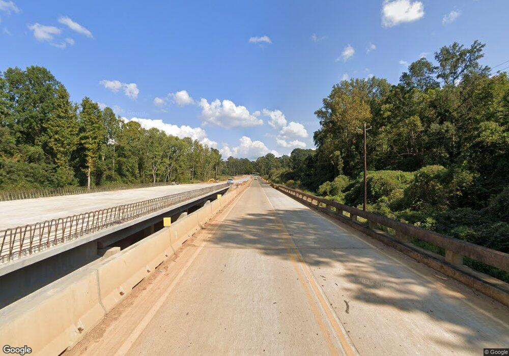
5186 W Highway 166 Carrollton, GA 30117
Estimated Value: $261,000 - $407,000
3
Beds
1
Bath
1,595
Sq Ft
$208/Sq Ft
Est. Value
About This Home
This home is located at 5186 W Highway 166, Carrollton, GA 30117 and is currently estimated at $331,977, approximately $208 per square foot. 5186 W Highway 166 is a home located in Carroll County with nearby schools including Bowdon Elementary School, Bowdon Middle School, and Bowdon High School.
Ownership History
Date
Name
Owned For
Owner Type
Purchase Details
Closed on
Nov 6, 2020
Sold by
Burgess Debra Ann Gilley
Bought by
Farmer Dylan W and Farmer Mary Kaitlin
Current Estimated Value
Home Financials for this Owner
Home Financials are based on the most recent Mortgage that was taken out on this home.
Original Mortgage
$176,700
Outstanding Balance
$156,244
Interest Rate
2.8%
Mortgage Type
New Conventional
Estimated Equity
$175,733
Purchase Details
Closed on
May 3, 2002
Sold by
Burgess Debra Ann G
Bought by
Burgess Debra Ann G and Burgess Kenneth R
Purchase Details
Closed on
Apr 22, 2002
Sold by
Burgess Debra Ann G
Bought by
Burgess Debra Ann G and Burgess Kenneth R
Purchase Details
Closed on
Aug 17, 2000
Sold by
Burgess Debra Ann G
Bought by
Burgess Debra Ann G
Purchase Details
Closed on
Feb 12, 1999
Sold by
Gilley Betty Jo
Bought by
Burgess Debra Ann G
Purchase Details
Closed on
Mar 15, 1971
Bought by
Gilley Betty Jo
Create a Home Valuation Report for This Property
The Home Valuation Report is an in-depth analysis detailing your home's value as well as a comparison with similar homes in the area
Home Values in the Area
Average Home Value in this Area
Purchase History
| Date | Buyer | Sale Price | Title Company |
|---|---|---|---|
| Farmer Dylan W | $186,000 | -- | |
| Burgess Debra Ann G | -- | -- | |
| Burgess Debra Ann G | -- | -- | |
| Burgess Debra Ann G | -- | -- | |
| Burgess Debra Ann G | -- | -- | |
| Gilley Betty Jo | -- | -- |
Source: Public Records
Mortgage History
| Date | Status | Borrower | Loan Amount |
|---|---|---|---|
| Open | Farmer Dylan W | $176,700 |
Source: Public Records
Tax History Compared to Growth
Tax History
| Year | Tax Paid | Tax Assessment Tax Assessment Total Assessment is a certain percentage of the fair market value that is determined by local assessors to be the total taxable value of land and additions on the property. | Land | Improvement |
|---|---|---|---|---|
| 2024 | $3,321 | $146,811 | $62,922 | $83,889 |
| 2023 | $3,001 | $126,770 | $50,337 | $76,433 |
| 2022 | $2,047 | $81,601 | $33,558 | $48,043 |
| 2021 | $1,745 | $68,069 | $26,846 | $41,223 |
| 2020 | $1,572 | $61,236 | $24,406 | $36,830 |
| 2019 | $1,500 | $57,961 | $24,406 | $33,555 |
| 2018 | $1,358 | $51,730 | $22,810 | $28,920 |
| 2017 | $1,363 | $51,730 | $22,810 | $28,920 |
| 2016 | $1,363 | $51,730 | $22,810 | $28,920 |
| 2015 | $929 | $33,212 | $19,400 | $13,812 |
| 2014 | $933 | $33,212 | $19,400 | $13,812 |
Source: Public Records
Map
Nearby Homes
- 5119 W Highway 166
- 1852 Burwell Rd
- 90 Washington St
- 103 Red Oak Dr
- 64 Twin Oak Dr
- 102 Red Oak Dr
- 37 Cedar Dr
- 96 Old Bowdon Rd
- 3715 Lovvorn Rd
- 3707 Lovvorn Rd
- 3699 Lovvorn Rd
- 92 Old Bowdon Rd
- 183 Madden Rd
- Plan 1709 at Scarlett Place
- Plan 2709 at Scarlett Place
- Plan 2316 at Scarlett Place
- Plan 1902 at Scarlett Place
- Plan 2100 at Scarlett Place
- Plan 1643 at Scarlett Place
- Plan 2307 at Scarlett Place
- 5142 Georgia 166
- 5159 W Highway 166
- 5159 W Highway 166
- 5147 W Highway 166
- 5137 W Highway 166
- 5086 W Highway 166
- 162 Garrett Cir
- 184 Garrett Cir
- 136 Garrett Cir
- 210 Garrett Cir
- 236 Garrett Cir
- 280 Garrett Cir
- 0 Burwell-Mt Zion Rd Unit 20077710
- 173 Garrett Cir
- 55 Burwell Mount Zion Rd
- 55 Burwell Mount Zion Rd
- 300 Garrett Cir
- 0 Garrett Cir Unit 7048441
- 0 Garrett Cir Unit 3199724
- 0 Garrett Cir Unit 8537002
