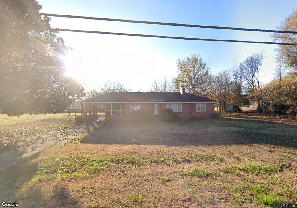
5187 Highway 81 Loganville, GA 30052
Estimated Value: $388,000 - $520,000
--
Bed
--
Bath
1,486
Sq Ft
$313/Sq Ft
Est. Value
About This Home
This home is located at 5187 Highway 81, Loganville, GA 30052 and is currently estimated at $465,123, approximately $313 per square foot. 5187 Highway 81 is a home located in Walton County with nearby schools including Loganville Elementary School, Loganville Middle School, and Loganville High School.
Ownership History
Date
Name
Owned For
Owner Type
Purchase Details
Closed on
May 27, 2025
Sold by
Johnson Beverly J
Bought by
Blue Eagle Land Investments Llc
Current Estimated Value
Home Financials for this Owner
Home Financials are based on the most recent Mortgage that was taken out on this home.
Original Mortgage
$60,000
Outstanding Balance
$55,303
Interest Rate
6.76%
Mortgage Type
New Conventional
Estimated Equity
$409,820
Purchase Details
Closed on
Sep 16, 2008
Sold by
Johnson Joe C and Johnson Beverly J
Bought by
Johnson Joe C and Johnson Beverly J
Create a Home Valuation Report for This Property
The Home Valuation Report is an in-depth analysis detailing your home's value as well as a comparison with similar homes in the area
Home Values in the Area
Average Home Value in this Area
Purchase History
| Date | Buyer | Sale Price | Title Company |
|---|---|---|---|
| Blue Eagle Land Investments Llc | $500,000 | -- | |
| Johnson Joe C | -- | -- |
Source: Public Records
Mortgage History
| Date | Status | Borrower | Loan Amount |
|---|---|---|---|
| Open | Blue Eagle Land Investments Llc | $60,000 |
Source: Public Records
Tax History Compared to Growth
Tax History
| Year | Tax Paid | Tax Assessment Tax Assessment Total Assessment is a certain percentage of the fair market value that is determined by local assessors to be the total taxable value of land and additions on the property. | Land | Improvement |
|---|---|---|---|---|
| 2024 | $263 | $51,000 | $14,040 | $36,960 |
| 2023 | $70 | $45,880 | $10,800 | $35,080 |
| 2022 | $247 | $41,040 | $9,800 | $31,240 |
| 2021 | $247 | $33,640 | $6,000 | $27,640 |
| 2020 | $252 | $33,000 | $5,600 | $27,400 |
| 2019 | $257 | $31,040 | $4,280 | $26,760 |
| 2018 | $257 | $31,040 | $4,280 | $26,760 |
| 2017 | $1,016 | $29,480 | $3,440 | $26,040 |
| 2016 | $249 | $25,560 | $3,440 | $22,120 |
| 2015 | $234 | $23,720 | $3,440 | $20,280 |
| 2014 | $252 | $24,560 | $3,440 | $21,120 |
Source: Public Records
Map
Nearby Homes
- 5317 Highway 81
- 5357 Highway 81
- 5457 Highway 81
- 1803 Brookeshade Ct
- 5474 Forest Dr Unit 4
- 5497 Highway 81
- 4569 Tiffany Ln
- 972 Spanish Moss Trail
- 5363 Forest Dr
- 969 Spanish Moss Trail
- 4885 Watson Mill Ct
- 4539 Tiffany Ln
- 410 Live Oak Pass
- 3971 Dean Grove Way
- 209 Birchwood Dr
- 207 Birchwood Dr
- 903 Creek Bottom Rd
- 5187 Highway 81
- 2500 Lois Ct Unit 116
- 2500 Lois Ct
- 2504 Lois Ct
- 5181 Bay Creek Church Rd
- 2508 Lois Ct
- 2101 Albert Jones Dr
- 5125 Bay Creek Church Rd
- 2512 Lois Ct
- 2505 Lois Ct Unit 2505
- 2505 Lois Ct Unit PVTH
- 2505 Lois Ct
- 5136 Bay Creek Church Rd
- 5150 Bay Creek Church Rd
- 5121 Bay Creek Church Rd
- 2108 Albert Jones Dr
- 2105 Albert Jones Dr
- 2516 Lois Ct
- 5146 Highway 81
- 5132 Bay Creek Church Rd