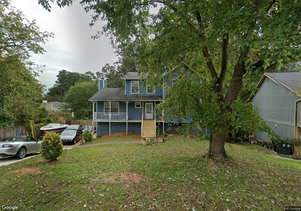
5187 Rails Way Norcross, GA 30071
Estimated Value: $355,000 - $403,000
3
Beds
3
Baths
2,554
Sq Ft
$145/Sq Ft
Est. Value
About This Home
This home is located at 5187 Rails Way, Norcross, GA 30071 and is currently estimated at $371,530, approximately $145 per square foot. 5187 Rails Way is a home located in Gwinnett County with nearby schools including Beaver Ridge Elementary School, Summerour Middle School, and Paul Duke STEM High School.
Ownership History
Date
Name
Owned For
Owner Type
Purchase Details
Closed on
Oct 11, 2005
Sold by
Flynn Stephen C and Flynn Erica
Bought by
Sulea Alberto
Current Estimated Value
Home Financials for this Owner
Home Financials are based on the most recent Mortgage that was taken out on this home.
Original Mortgage
$29,680
Interest Rate
5.26%
Mortgage Type
Unknown
Purchase Details
Closed on
Jun 30, 2005
Sold by
Flynn Donna M
Bought by
Flynn Stephene C and Flynn Erica
Create a Home Valuation Report for This Property
The Home Valuation Report is an in-depth analysis detailing your home's value as well as a comparison with similar homes in the area
Home Values in the Area
Average Home Value in this Area
Purchase History
| Date | Buyer | Sale Price | Title Company |
|---|---|---|---|
| Sulea Alberto | $148,400 | -- | |
| Flynn Stephene C | -- | -- |
Source: Public Records
Mortgage History
| Date | Status | Borrower | Loan Amount |
|---|---|---|---|
| Closed | Sulea Alberto | $29,680 | |
| Open | Sulea Alberto | $118,720 |
Source: Public Records
Tax History Compared to Growth
Tax History
| Year | Tax Paid | Tax Assessment Tax Assessment Total Assessment is a certain percentage of the fair market value that is determined by local assessors to be the total taxable value of land and additions on the property. | Land | Improvement |
|---|---|---|---|---|
| 2025 | $4,272 | $186,920 | $25,840 | $161,080 |
| 2024 | $4,003 | $166,600 | $22,400 | $144,200 |
| 2023 | $4,003 | $166,600 | $22,400 | $144,200 |
| 2022 | $3,557 | $144,240 | $22,400 | $121,840 |
| 2021 | $2,597 | $94,640 | $13,600 | $81,040 |
| 2020 | $2,621 | $94,640 | $13,600 | $81,040 |
| 2019 | $2,878 | $74,000 | $10,800 | $63,200 |
| 2018 | $2,181 | $74,000 | $10,800 | $63,200 |
| 2016 | $1,733 | $58,040 | $8,000 | $50,040 |
| 2015 | $1,738 | $44,480 | $6,000 | $38,480 |
| 2014 | -- | $44,480 | $6,000 | $38,480 |
Source: Public Records
Map
Nearby Homes
- 2009 Hoot Owl Trail
- 5381 Station Cir Unit 3
- 5457 Rails Way
- 5337 Langston Way
- 5645 Hammond Dr
- 5375 Goshen Springs Rd
- 91 Brookway Trace
- 5670 Hollow Ridge Ln
- 5341 Goodwick Way
- 2199 Summertown Dr
- 2066 Pinnacle Pointe Dr
- 101 Vineyard Pond Dr NW
- 2037 Pinnacle Pointe Dr
- 1637 Roman Point Dr
- 1534 Cove Creek Cir
- 5479 Windy Creek Ln
- 1620 Cove Creek Cir Unit 304
- 5106 Rockborough Trail
- 4242 Morrison Lake Trail
- 5341 Woodbin Dr
- 5177 Rails Way Unit 62
- 5177 Rails Way
- 1998 Hoot Owl Trail Unit 3
- 1988 Hoot Owl Trail Unit 3
- 2008 Hoot Owl Trail
- 5167 Rails Way
- 5186 Rails Way
- 1978 Hoot Owl Trail
- 5196 Rails Way
- 5166 Rails Way Unit 2
- 5157 Rails Way Unit 2
- 1969 Hoot Owl Trail
- 1999 Hoot Owl Trail
- 5146 Rails Way
- 2038 Hoot Owl Trail Unit 3
- 5216 Rails Way Unit 3
- 5147 Rails Way
- 2059 Pinnacle Walk
- 2059 Pinnacle Walk Unit ID1234820P
- 1989 Hoot Owl Trail Unit 3