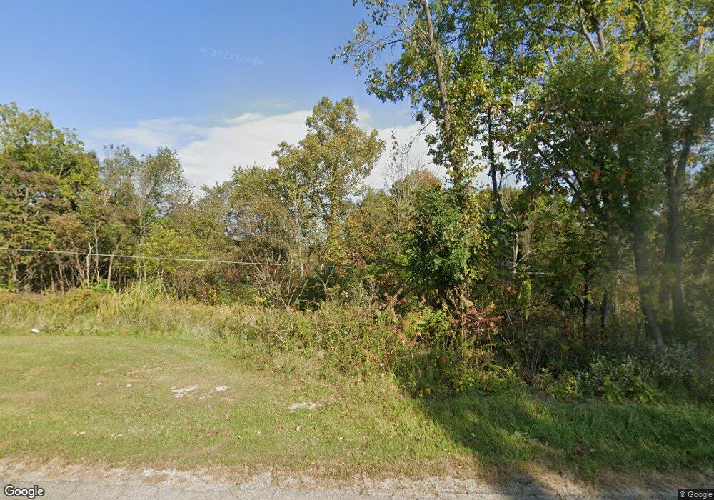
5189 Flint Ridge Rd NE Crooksville, OH 43731
Estimated Value: $125,000 - $192,000
3
Beds
2
Baths
1,144
Sq Ft
$142/Sq Ft
Est. Value
About This Home
This home is located at 5189 Flint Ridge Rd NE, Crooksville, OH 43731 and is currently estimated at $162,323, approximately $141 per square foot. 5189 Flint Ridge Rd NE is a home with nearby schools including Crooksville Elementary School, Crooksville Middle School, and Crooksville High School.
Ownership History
Date
Name
Owned For
Owner Type
Purchase Details
Closed on
Jun 26, 2025
Sold by
Thomas Connie
Bought by
Thomas Connie and Thomas Paul
Current Estimated Value
Home Financials for this Owner
Home Financials are based on the most recent Mortgage that was taken out on this home.
Original Mortgage
$40,000
Outstanding Balance
$39,725
Interest Rate
6.03%
Mortgage Type
New Conventional
Estimated Equity
$122,598
Create a Home Valuation Report for This Property
The Home Valuation Report is an in-depth analysis detailing your home's value as well as a comparison with similar homes in the area
Home Values in the Area
Average Home Value in this Area
Purchase History
| Date | Buyer | Sale Price | Title Company |
|---|---|---|---|
| Thomas Connie | -- | None Listed On Document |
Source: Public Records
Mortgage History
| Date | Status | Borrower | Loan Amount |
|---|---|---|---|
| Open | Thomas Connie | $40,000 |
Source: Public Records
Tax History Compared to Growth
Tax History
| Year | Tax Paid | Tax Assessment Tax Assessment Total Assessment is a certain percentage of the fair market value that is determined by local assessors to be the total taxable value of land and additions on the property. | Land | Improvement |
|---|---|---|---|---|
| 2024 | $1,041 | $39,510 | $15,860 | $23,650 |
| 2023 | $1,064 | $39,510 | $15,860 | $23,650 |
| 2022 | $962 | $34,130 | $11,860 | $22,270 |
| 2021 | $962 | $34,130 | $11,860 | $22,270 |
| 2020 | $961 | $34,130 | $11,860 | $22,270 |
| 2019 | $807 | $30,050 | $10,730 | $19,320 |
| 2018 | $822 | $30,050 | $10,730 | $19,320 |
| 2017 | $806 | $30,050 | $10,730 | $19,320 |
| 2016 | $798 | $29,270 | $10,030 | $19,240 |
| 2015 | $798 | $29,270 | $10,030 | $19,240 |
| 2014 | $1,068 | $29,270 | $10,030 | $19,240 |
| 2013 | $1,072 | $29,270 | $10,030 | $19,240 |
| 2012 | $753 | $29,270 | $10,030 | $19,240 |
Source: Public Records
Map
Nearby Homes
- 12804 Township Unit 1001
- 39 E Main St
- 221 E Brown St
- 12804 Township Road 1001 NE
- 419 N Buckeye St
- 401 Summit St
- 13981 Ohio 669
- 8610 Garfield St
- 9660 Old Rainer Rd
- 7705 Ohio 345
- 94 Thornberry St
- 48 S Main St
- 104 Summit St
- 170 Walnut St
- 260 Zanesville Rd
- 1325 Ohio 93
- 246 Washington St
- 120 Elm St
- 0 Rider Rd
- 1420 Tatmans Rd NE
- 5171 Flint Ridge Rd NE
- 5250 Flint Ridge Rd NE
- 11653 Township Road 445 NE
- 11653 Township Road 445 NE
- 11621 Township Road 445 NE
- 5056 Flint Ridge Rd NE
- 11550 Township Road 445 NE
- 11705 Township Road 445 NE
- 11561 Township Road 445 NE
- 11735 Township Road 445 NE
- 11801 Twp Rd 445
- 11704 Township Road 445 NE
- 5254 Flint Ridge Rd NE
- 11700 Township Road 445 NE
- 11823 Township Road 445 NE
- 11383 Township Road 169 NE
- 11454 Township Road 445 NE
- 11763 Township Road 445 NE
- 11351 Township Road 169 NE
- 5466 Flint Ridge Rd NE
