5189 S 47000 W Fruitland, UT 84027
Estimated Value: $218,586 - $417,000
--
Bed
--
Bath
952
Sq Ft
$324/Sq Ft
Est. Value
About This Home
This home is located at 5189 S 47000 W, Fruitland, UT 84027 and is currently estimated at $308,529, approximately $324 per square foot. 5189 S 47000 W is a home with nearby schools including Tabiona School.
Ownership History
Date
Name
Owned For
Owner Type
Purchase Details
Closed on
Feb 27, 2020
Sold by
Humes Allen J
Bought by
Peterson Shawn
Current Estimated Value
Home Financials for this Owner
Home Financials are based on the most recent Mortgage that was taken out on this home.
Original Mortgage
$85,000
Outstanding Balance
$67,046
Interest Rate
3.6%
Mortgage Type
Construction
Estimated Equity
$241,483
Create a Home Valuation Report for This Property
The Home Valuation Report is an in-depth analysis detailing your home's value as well as a comparison with similar homes in the area
Home Values in the Area
Average Home Value in this Area
Purchase History
| Date | Buyer | Sale Price | Title Company |
|---|---|---|---|
| Peterson Shawn | $106,250 | Sunrise Title Co -Roosevelt |
Source: Public Records
Mortgage History
| Date | Status | Borrower | Loan Amount |
|---|---|---|---|
| Open | Peterson Shawn | $85,000 |
Source: Public Records
Tax History Compared to Growth
Tax History
| Year | Tax Paid | Tax Assessment Tax Assessment Total Assessment is a certain percentage of the fair market value that is determined by local assessors to be the total taxable value of land and additions on the property. | Land | Improvement |
|---|---|---|---|---|
| 2025 | $1,502 | $142,669 | $64,000 | $78,669 |
| 2024 | $1,328 | $127,669 | $49,000 | $78,669 |
| 2023 | $1,328 | $121,979 | $43,310 | $78,669 |
| 2022 | $1,319 | $112,745 | $28,175 | $84,570 |
| 2021 | $1,078 | $80,405 | $26,380 | $54,025 |
| 2020 | $806 | $61,609 | $23,300 | $38,309 |
| 2019 | $802 | $61,609 | $23,300 | $38,309 |
| 2018 | $724 | $54,433 | $23,300 | $31,133 |
| 2017 | $651 | $0 | $0 | $0 |
| 2016 | $783 | $0 | $0 | $0 |
| 2015 | $739 | $0 | $0 | $0 |
| 2014 | $728 | $63,153 | $17,283 | $45,870 |
| 2013 | $622 | $52,735 | $15,606 | $37,129 |
Source: Public Records
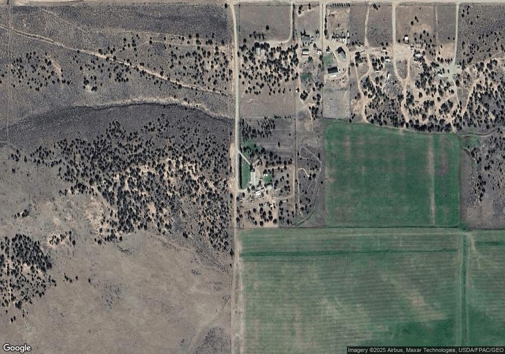
Map
Nearby Homes
- 46293 W 5000 S
- Tax Id 00-0035-1801
- 45050 W 6300 S
- 46864 Thunder Ridge Rd Unit 204
- 45711 W Colt Rd Unit 131
- 45450 W Cedar Rock Rd
- 45257 Bandanna Dr
- 26 Bandanna Dr
- 46247 Bandanna Dr
- 7775 S 45125 W
- 46250 Bandanna Dr
- 1841 S Stagecoach Rd
- 915 S Stagecoach Rd Unit 8
- 42783 W 7750 S
- 45088 W 6560 S
- 46997 W Thunder Ridge Rd
- 42724 W 7625 S Unit 20A
- 46446 W Airport Rd Unit 249
- 46511 W Thunder Ridge Rd N Unit 173
- 43 S Hidden W
- 46909 W 5000 S
- 5556 S 47000 W
- 5556 S 40500 W
- 5594 S 40500 W
- 5650 S 47000 W
- 5650 S 40500 W
- 5191 S 46500 W
- 46497 W 5000 S
- 46363 W 5000 S
- 5790 S 47000 W
- 5826 S 47000 W
- 46293 5000 S
- 46293 W 5000 S
- 5975 S 47000 W
- 46164 W 5375 S Unit 3
- 46164 W 5375 S Unit 4
- 46668 W 6000 S
- 46154 W 5375 S
- 46947 W 6000 S
- 6925 S 47000 W