Estimated Value: $276,000 - $307,637
1
Bed
2
Baths
1,776
Sq Ft
$168/Sq Ft
Est. Value
About This Home
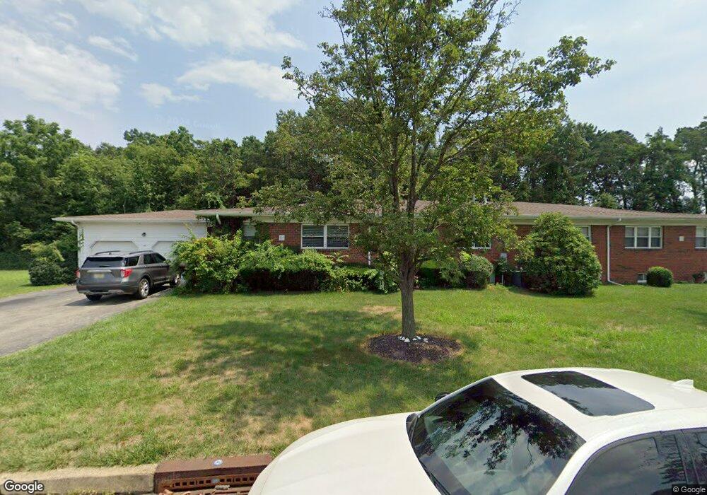
This home is located at 518A Laurel Brook Dr Unit 54A, Brick, NJ 08724 and is currently estimated at $298,159, approximately $167 per square foot. 518A Laurel Brook Dr Unit 54A is a home located in Ocean County with nearby schools including Emma Havens Young Elementary School, Lake Riviera Middle School, and Brick Township High School.
Ownership History
Date
Name
Owned For
Owner Type
Purchase Details
Closed on
Nov 26, 2014
Sold by
Nagy Diane
Bought by
Pino Brian Del and Pino Krstin B Del
Current Estimated Value
Home Financials for this Owner
Home Financials are based on the most recent Mortgage that was taken out on this home.
Original Mortgage
$80,000
Outstanding Balance
$44,877
Interest Rate
3.98%
Mortgage Type
New Conventional
Estimated Equity
$253,282
Purchase Details
Closed on
Apr 3, 2001
Sold by
Cuber Robert
Bought by
Lebeyka Bernard
Home Financials for this Owner
Home Financials are based on the most recent Mortgage that was taken out on this home.
Original Mortgage
$50,000
Interest Rate
6.9%
Purchase Details
Closed on
Jun 5, 1998
Sold by
Casale Nicholas and Casale Dolores
Bought by
Cuber Robert
Home Financials for this Owner
Home Financials are based on the most recent Mortgage that was taken out on this home.
Original Mortgage
$70,300
Interest Rate
7.04%
Create a Home Valuation Report for This Property
The Home Valuation Report is an in-depth analysis detailing your home's value as well as a comparison with similar homes in the area
Home Values in the Area
Average Home Value in this Area
Purchase History
| Date | Buyer | Sale Price | Title Company |
|---|---|---|---|
| Pino Brian Del | $118,000 | Stewart Title | |
| Lebeyka Bernard | $85,500 | -- | |
| Cuber Robert | $74,000 | -- |
Source: Public Records
Mortgage History
| Date | Status | Borrower | Loan Amount |
|---|---|---|---|
| Open | Pino Brian Del | $80,000 | |
| Previous Owner | Lebeyka Bernard | $50,000 | |
| Previous Owner | Cuber Robert | $70,300 |
Source: Public Records
Tax History
| Year | Tax Paid | Tax Assessment Tax Assessment Total Assessment is a certain percentage of the fair market value that is determined by local assessors to be the total taxable value of land and additions on the property. | Land | Improvement |
|---|---|---|---|---|
| 2025 | $4,293 | $164,500 | $85,000 | $79,500 |
| 2024 | $4,075 | $164,500 | $85,000 | $79,500 |
| 2023 | $4,015 | $164,500 | $85,000 | $79,500 |
| 2022 | $4,015 | $164,500 | $85,000 | $79,500 |
| 2021 | $3,932 | $164,500 | $85,000 | $79,500 |
| 2020 | $3,881 | $164,500 | $85,000 | $79,500 |
| 2019 | $3,811 | $164,500 | $85,000 | $79,500 |
| 2018 | $3,724 | $164,500 | $85,000 | $79,500 |
| 2017 | $3,624 | $164,500 | $85,000 | $79,500 |
| 2016 | $3,604 | $164,500 | $85,000 | $79,500 |
| 2015 | $3,510 | $164,500 | $85,000 | $79,500 |
| 2014 | $3,481 | $164,500 | $85,000 | $79,500 |
Source: Public Records
Map
Nearby Homes
- 12 D Trail
- 470A Laurel Brook Dr Unit 4401
- 470 Laurel Brook Dr
- 1595 Forge Pond Rd
- 6 Lisa Dr
- 1651 Forge Pond Rd
- 1648 Harvard Ave
- 55 Tony Ct
- 39 Marlow Ave
- 42 Sidney Ct
- 37 Central Blvd
- 25 Whitman St
- 56 Joseph Byrne Dr
- 1418 Forest Ave
- 159 Clay Cir
- 20 Lamb Rd
- 201 Blake Cir
- 203 Blake Cir
- 12 Barker St
- 982 Falkenberg Rd
- 518A Laurel Brook Dr Unit B
- 518B Laurel Brook Dr
- 522C Laurel Brook Dr Unit 54C
- 522D Laurel Brook Dr
- 510A Laurel Brook Dr
- 510 Laurel Brook Dr Unit B
- 510 Laurel Brook Dr
- 510B Laurel Brook Dr
- 510B Laurel Brook Dr Unit 5302
- 28D Court M
- 519D Laurel Brook Dr Unit D
- 28C Court M
- 514C Laurel Brook Dr Unit 53C
- 514C Laurel Brook Dr Unit 5303
- 514D Laurel Brook Dr Unit D53
- 514 Laurel Brook Dr Unit C
- 17 M Ct Unit B
- 30B Court M Unit 55B
- 17 Court M Unit A
- 17A Court M
Your Personal Tour Guide
Ask me questions while you tour the home.