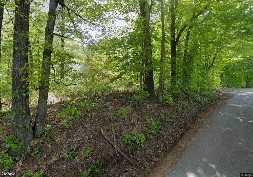
519 A T Layne Rd Morgantown, KY 42261
Estimated Value: $141,000 - $245,851
3
Beds
2
Baths
1,248
Sq Ft
$153/Sq Ft
Est. Value
About This Home
This home is located at 519 A T Layne Rd, Morgantown, KY 42261 and is currently estimated at $190,617, approximately $152 per square foot. 519 A T Layne Rd is a home located in Butler County with nearby schools including Butler County Middle School and Butler County High School.
Ownership History
Date
Name
Owned For
Owner Type
Purchase Details
Closed on
Jun 10, 2024
Sold by
Namken Calvin E and Revoc Emily
Bought by
Glass Ron Velton and Glass Leslie Ann
Current Estimated Value
Home Financials for this Owner
Home Financials are based on the most recent Mortgage that was taken out on this home.
Original Mortgage
$100,000
Outstanding Balance
$94,842
Interest Rate
6.44%
Mortgage Type
New Conventional
Estimated Equity
$95,775
Purchase Details
Closed on
Apr 1, 1966
Bought by
Namken Calvin Living Trust
Create a Home Valuation Report for This Property
The Home Valuation Report is an in-depth analysis detailing your home's value as well as a comparison with similar homes in the area
Home Values in the Area
Average Home Value in this Area
Purchase History
| Date | Buyer | Sale Price | Title Company |
|---|---|---|---|
| Glass Ron Velton | $140,000 | None Listed On Document | |
| Glass Ron Velton | $140,000 | None Listed On Document | |
| Namken Calvin Living Trust | -- | -- |
Source: Public Records
Mortgage History
| Date | Status | Borrower | Loan Amount |
|---|---|---|---|
| Open | Glass Ron Velton | $100,000 |
Source: Public Records
Tax History Compared to Growth
Tax History
| Year | Tax Paid | Tax Assessment Tax Assessment Total Assessment is a certain percentage of the fair market value that is determined by local assessors to be the total taxable value of land and additions on the property. | Land | Improvement |
|---|---|---|---|---|
| 2024 | $905 | $101,100 | $10,100 | $91,000 |
| 2023 | $836 | $93,100 | $0 | $0 |
| 2022 | $834 | $93,100 | $0 | $0 |
| 2021 | $848 | $107,000 | $0 | $0 |
| 2020 | $841 | $93,000 | $0 | $0 |
| 2019 | $749 | $93,000 | $0 | $0 |
| 2018 | $750 | $93,000 | $0 | $0 |
| 2017 | $1,706 | $80,500 | $5,500 | $75,000 |
| 2016 | $706 | $82,500 | $0 | $0 |
| 2015 | $695 | $93,000 | $5,500 | $87,500 |
| 2013 | -- | $80,000 | $5,000 | $75,000 |
Source: Public Records
Map
Nearby Homes
- 1382 Cr-1216
- Lots 12 & 13 Cr-1216
- 607 Cool Springs Rd
- 753 Cr-1216
- 1041 Cr-1216
- 793 E Whalen Rd
- 576 Hunters Point
- 502 S Main St
- 125 Cherokee Dr
- 34 Minton's Cir
- 1280 Woodbury Loop
- 155 Oak Hill Dr
- 5582 Woodbury Loop
- 450 Southhill Union Rd
- Tracts 1-5 W Roberts St
- 305 W Morrison St
- 140 Sunset Loop
- Leonard Oak Church Rd Unit LotWP001
- 8550 Bowling Green Rd
- 7685 Rochester Rd
- 564 A T Layne Rd
- 516 A T Layne Rd
- 351 Norris Ln
- 3262 Bowling Green Rd
- 258 A T Layne Rd
- 188 Russellville Rd
- 188 Russellville Rd
- 188 Russellville Rd
- 3885 Bowling Green Rd
- 3783 Bowling Green Rd
- 3707 Bowling Green Rd
- 3631 Bowling Green Rd
- 4031 Bowling Green Rd
- 4041 Bowling Green Rd
- 4051 Bowling Green Rd
- 4061 Bowling Green Rd
- 3658 Bowling Green Rd
- 154 A T Layne Rd
- 154 A T Layne Rd
- 154 A T Layne Rd
