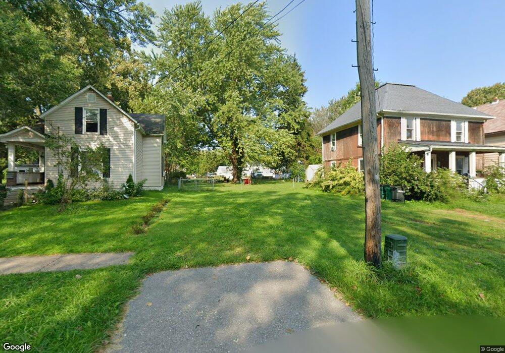
519 Chestnut St Conneaut, OH 44030
Estimated Value: $63,000 - $90,000
3
Beds
1
Bath
1,364
Sq Ft
$57/Sq Ft
Est. Value
About This Home
This home is located at 519 Chestnut St, Conneaut, OH 44030 and is currently estimated at $77,333, approximately $56 per square foot. 519 Chestnut St is a home located in Ashtabula County with nearby schools including Lakeshore Primary Elementary School, Gateway Elementary School, and Conneaut Middle School.
Ownership History
Date
Name
Owned For
Owner Type
Purchase Details
Closed on
Sep 17, 2019
Sold by
Ashtabula County Land Reutilization Corp
Bought by
Platz David M
Current Estimated Value
Purchase Details
Closed on
Mar 2, 2017
Sold by
Clyburn Roscoe M and Cragon Dawn M
Bought by
Ashtabula County Land Reutilization Corp
Create a Home Valuation Report for This Property
The Home Valuation Report is an in-depth analysis detailing your home's value as well as a comparison with similar homes in the area
Home Values in the Area
Average Home Value in this Area
Purchase History
| Date | Buyer | Sale Price | Title Company |
|---|---|---|---|
| Platz David M | -- | None Available | |
| Ashtabula County Land Reutilization Corp | -- | None Available |
Source: Public Records
Tax History
| Year | Tax Paid | Tax Assessment Tax Assessment Total Assessment is a certain percentage of the fair market value that is determined by local assessors to be the total taxable value of land and additions on the property. | Land | Improvement |
|---|---|---|---|---|
| 2024 | $113 | $1,540 | $1,540 | -- |
| 2023 | $72 | $1,540 | $1,540 | $0 |
| 2022 | $64 | $1,190 | $1,190 | $0 |
| 2021 | $64 | $1,190 | $1,190 | $0 |
| 2020 | $63 | $1,190 | $1,190 | $0 |
| 2019 | $63 | $1,540 | $1,540 | $0 |
| 2018 | $359 | $1,540 | $1,540 | $0 |
| 2017 | $10 | $12,740 | $1,330 | $11,410 |
| 2016 | $710 | $14,840 | $1,540 | $13,300 |
| 2015 | $5,937 | $14,840 | $1,540 | $13,300 |
| 2014 | $4,991 | $14,840 | $1,540 | $13,300 |
| 2013 | $4,146 | $15,300 | $1,930 | $13,370 |
Source: Public Records
Map
Nearby Homes
- 517 Chestnut St
- 521 Chestnut St
- 525 Chestnut St
- 528 Blair St
- 532 Blair St
- 536 Blair St
- 549 Chestnut St
- 540 Blair St
- 544 Blair St
- 517 Blair St
- 529 Blair St
- 0 Chestnut St Unit 5120761
- S/L Chestnut St
- 0 Chestnut St Unit 5029843
- 0 Chestnut St Unit 4422970
- 0 Chestnut St
- 533 Blair St
- S/L Blair St
- 561 Chestnut St
- 539 Blair St
Your Personal Tour Guide
Ask me questions while you tour the home.